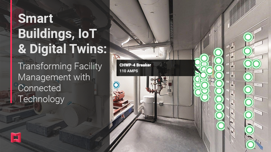
Technology Guides • • 8 min read
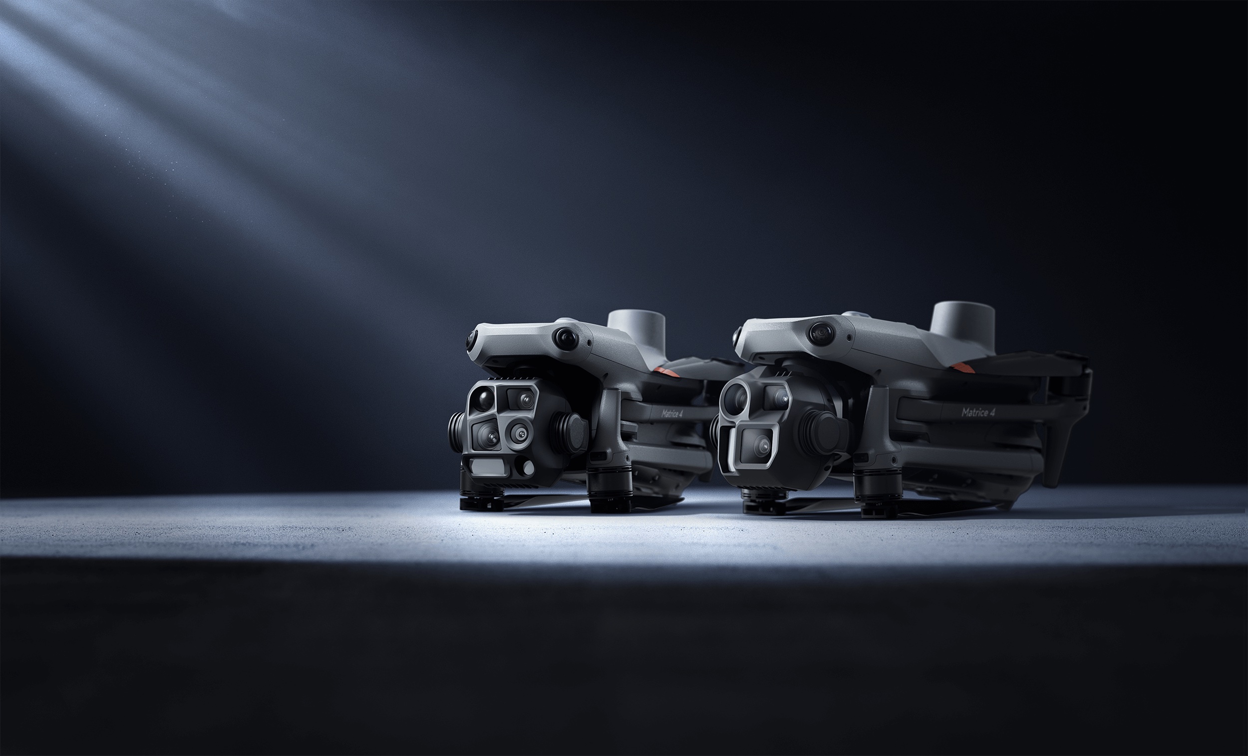
Renting vs. Buying a DJI Matrice 4T or 400: Which Makes Sense?
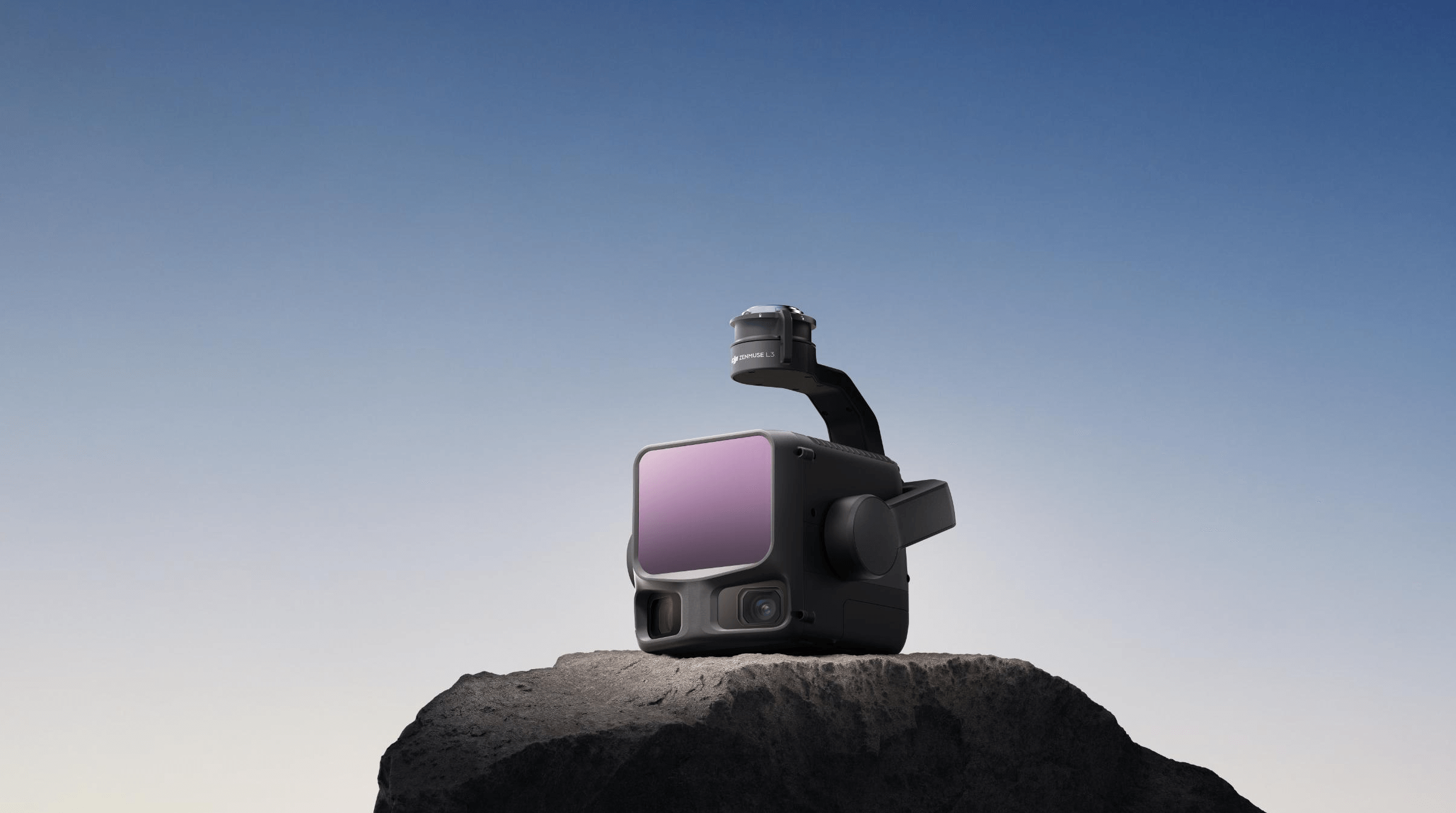
Rent vs. buy math for the DJI Matrice 4T, Matrice 400 and Zenmuse L3 — real rental day-rates, break-even points, and when owning wins.
TF3T
THE FUTURE 3D Team