What is Oblique Aerial Imagery?
Oblique aerial imagery consists of photographs captured at an angle — typically 40-45 degrees from vertical — rather than straight down (nadir). This angled perspective reveals building facades, structural details, roof conditions, and vertical features that nadir-only imagery cannot see.
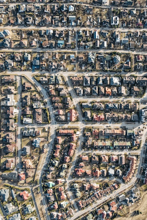
When a drone or aircraft looks straight down, it captures rooftops and horizontal surfaces well but misses building sides, walls, and vertical structures entirely. Oblique capture fills this gap by providing a “human-eye” perspective from above.
Nadir vs Oblique: What’s the Difference?
| Feature | Nadir (Straight Down) | Oblique (Angled) |
|---|---|---|
| Camera angle | 90° (looking straight down) | 40-45° (angled view) |
| What you see | Rooftops, ground surface, horizontal features | Building facades, walls, vertical features, roof + sides |
| Orthomosaic output | Yes — standard 2D map | Not directly (but used for 3D model input) |
| 3D model quality | Incomplete (no wall texture) | Complete (walls + roof textured) |
| Building inspection | Roof only | Roof + all 4 facades |
| Coverage efficiency | Higher | Lower (more passes required) |
Most professional aerial survey missions capture both nadir and oblique passes to create complete datasets. The nadir imagery produces accurate orthomosaic maps, while the oblique imagery adds facade detail for 3D modeling and inspection.
How Oblique Aerial Imagery is Captured
Standard Oblique Mission Profile
A typical oblique capture mission flies the survey area in two phases:
- Nadir grid: Standard lawn-mower pattern at 70-80% overlap, camera pointing straight down
- Oblique crosshatch: Four additional passes at 45° camera angle — one from each cardinal direction (N, S, E, W)
This “5-direction” capture approach ensures every building surface is photographed from at least two different angles, providing the geometry needed for complete 3D reconstruction.
Equipment
- Multirotor drones (DJI Mavic 3 Enterprise, DJI Matrice 350 RTK) — adjustable gimbal captures both nadir and oblique angles
- Dedicated oblique cameras — multi-camera systems that capture nadir + four oblique angles simultaneously (used on helicopter and aircraft platforms)
- Flight software — DroneDeploy, Pix4Dcapture, and DJI Pilot all support oblique mission planning
Use Cases for Oblique Aerial Imagery
Building Inspection & Assessment
Oblique imagery reveals facade conditions, window damage, wall cracks, structural deterioration, and exterior finish problems that roof-only nadir imagery misses. For building inspections required under New York City’s FISP (Facade Inspection Safety Program) or similar regulations, oblique drone imagery provides a safe, cost-effective alternative to swing-stage inspections.
3D City Modeling
Urban 3D models require facade texture to look realistic and be useful for planning. Oblique imagery provides the wall and side textures needed to build photorealistic 3D city models — used by municipal governments for urban planning, shadow analysis, viewshed studies, and emergency response planning.
Insurance & Property Valuation
Insurance assessors use oblique imagery to evaluate property condition without physical site visits. The angled perspective shows building condition, roof damage, structural modifications, and property boundaries in ways that satellite or nadir-only imagery cannot. This accelerates claims processing and improves risk assessment accuracy.
Real Estate & Development
Oblique views showcase properties from their most flattering angles — showing the full building in context with surrounding landscape, streets, and amenities. Developers use oblique imagery to visualize proposed projects relative to existing structures.
Archaeological Documentation
Archaeological sites benefit from oblique imagery that reveals subtle terrain features, wall remnants, and structural outlines not visible from directly above. The angled shadows in oblique photography can highlight features that are invisible in nadir imagery.
Oblique Imagery in 3D Reconstruction
The most powerful application of oblique imagery is its contribution to 3D photogrammetric models. When processing software receives both nadir and oblique photographs, it can reconstruct complete 3D models with:
- Textured facades — Building walls are rendered with actual photographic texture
- Complete geometry — Overhangs, balconies, recessed features, and undercuts are captured
- Higher accuracy — More viewing angles improve photogrammetric triangulation
- Better urban modeling — Dense urban areas with tall buildings benefit most from multi-angle capture
Without oblique imagery, 3D models derived from nadir-only photography have untextured, distorted building facades — sometimes called the “melting building” effect.
Oblique Imagery vs Full 3D LiDAR
| Factor | Oblique Photography | 3D LiDAR |
|---|---|---|
| Visual quality | Excellent (photographic) | Moderate (point cloud) |
| Facade detail | High (color texture) | Low (geometry only) |
| Measurement accuracy | 2-5 cm (photogrammetric) | 1-3 cm (direct measurement) |
| Vegetation penetration | No | Yes |
| Cost | Lower | Higher |
| Best for | Visual documentation, 3D modeling | Engineering measurement, terrain modeling |
For projects requiring both visual documentation AND engineering-grade measurements, combining oblique photogrammetry with LiDAR scanning delivers the most complete dataset.
Getting Started with Oblique Aerial Imagery
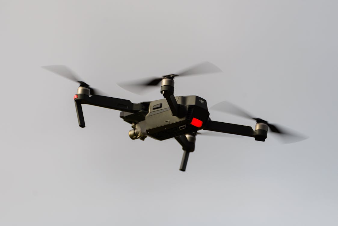
THE FUTURE 3D captures oblique aerial imagery as part of our drone photogrammetry and aerial survey services. Our drone operators configure nadir + oblique capture missions using RTK-equipped platforms (DJI Mavic 3 Enterprise, DJI M350 RTK) to deliver complete 3D datasets for building inspection, urban modeling, and property documentation.
Related resources:
- Aerial Survey & Mapping Overview
- Orthomosaic Mapping Guide — The nadir-only counterpart
- Drone Photogrammetry Services
- Facade Orthomosaics
Need oblique aerial imagery for your project? Request a free quote → or call +1-347-998-1464.
Ready to Start Your Project?
Get a free quote and consultation from our 3D scanning experts.
Get Your Free Quote

