Helicopter LiDAR Survey: When Drones Aren’t Enough
Drone LiDAR handles most projects under 500 acres efficiently and affordably. But some projects exceed what drones can practically deliver — whether due to sheer scale, corridor length, airspace restrictions, or the need for sensors that only a helicopter can carry.
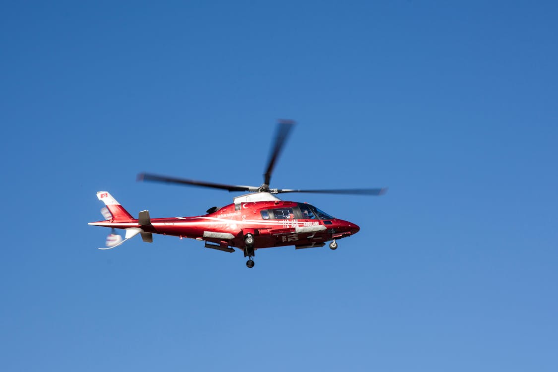
Helicopter LiDAR uses manned helicopters equipped with high-performance LiDAR sensors, GNSS/INS positioning systems, and calibrated cameras. A single helicopter LiDAR flight can cover 50-200 square miles per day — roughly 100 times the coverage of a drone LiDAR mission.
THE FUTURE 3D provides helicopter LiDAR survey services for projects that require this level of coverage.
When Helicopter LiDAR Makes Sense
1. Long Corridor Projects (50+ Miles)

Power line right-of-ways, pipeline corridors, highway alignments, and railway routes often span hundreds of miles. A helicopter captures continuous corridor data at 100-150 mph, covering 50-200 linear miles per day. The same survey with a drone would require weeks of individual flights, battery swaps, and data stitching.
Common corridor applications:
- Power line vegetation management and clearance analysis
- Pipeline right-of-way monitoring and encroachment detection
- Highway and railway design surveys
- Transmission line sag and tension analysis
- Flood channel and levee assessment
2. Large-Area Surveys (1,000+ Acres)
When the survey area exceeds what a drone can efficiently cover — typically above 500-1,000 acres — helicopter LiDAR becomes more cost-effective per acre. The helicopter’s ability to survey 30,000-100,000+ acres per day makes it the standard for:
- Large mine site mapping
- Coastal zone surveys
- Forest inventory across large tracts
- Municipal and county-level terrain mapping
- Reservoir and watershed analysis
3. Restricted Airspace
In controlled airspace near airports, military installations, or government facilities, drone operations may be prohibited or require lengthy approval processes. Helicopters operate under standard manned aircraft rules with established air traffic control integration — they can fly where drones cannot.
4. Dense Vegetation and Terrain

Helicopter-mounted LiDAR sensors (Riegl VUX-240, Leica ALS80) fire 200,000 to 2,000,000+ laser pulses per second — significantly more than drone sensors. Higher pulse rates improve vegetation penetration and bare-earth extraction in dense forest canopy.
Helicopter LiDAR vs Drone LiDAR

| Factor | Helicopter LiDAR | Drone LiDAR |
|---|---|---|
| Daily coverage | 50-200 sq miles | 50-300 acres |
| Pulse rate | 200K - 2M+ pulses/sec | 40K - 480K pulses/sec |
| Point density | 10-50 pts/m² | 50-300+ pts/m² |
| Accuracy | 2-5 cm vertical | 1-3 cm vertical |
| Vegetation penetration | Excellent | Good |
| Sensor weight | 5-25 kg | 0.5-2 kg |
| Mobilization | Requires helipad/airport | Any open area |
| Minimum project | $15,000+ | $3,000+ |
Key tradeoff: Helicopter LiDAR covers more area but produces fewer points per square meter than drone LiDAR. For small sites needing maximum detail, drone LiDAR is superior. For large-area coverage, helicopter LiDAR is more efficient.
What You Get from a Helicopter LiDAR Survey
Standard deliverables include:
- Classified point cloud (LAS/LAZ) — Ground, vegetation, buildings, power lines, water
- Bare-earth Digital Terrain Model (DTM) — Ground surface with all vegetation and structures removed
- Digital Surface Model (DSM) — Top surface including trees, buildings, power lines
- Contour maps — At specified intervals (0.5ft, 1ft, 2ft, 5ft)
- Intensity images — LiDAR reflectance imagery
- Cross-section profiles — For corridor projects
- Canopy height model — Vegetation height above ground
- Calibrated aerial photography — Georeferenced RGB imagery captured simultaneously
All data is delivered in industry-standard formats compatible with ArcGIS, QGIS, AutoCAD Civil 3D, TerraSolid, and similar platforms.
Helicopter LiDAR Accuracy
| Parameter | Typical Specification |
|---|---|
| Vertical accuracy (open terrain) | 2-5 cm RMSE |
| Horizontal accuracy | 5-10 cm RMSE |
| Point density | 10-50 points/m² |
| Ground control | GPS base stations + GCPs recommended |
| Classification accuracy | 95-98% automatic, with manual QC |
Accuracy depends on flight altitude, GPS constellation, IMU quality, and ground control. For engineering-grade deliverables, ground control points are recommended.
The Multi-Platform Approach
Many projects benefit from combining helicopter LiDAR with drone LiDAR:
- Helicopter captures the macro-level data — a 200-mile pipeline corridor, a 5,000-acre forest tract, or a county-wide floodplain
- Drone captures micro-level detail at specific locations — pump stations, bridge crossings, construction sites, or areas needing centimeter-level accuracy
THE FUTURE 3D coordinates multi-platform aerial LiDAR surveys to deliver the right level of detail at every scale within a single project.
Cost Considerations
Helicopter LiDAR projects are quoted individually based on:
- Flight hours required (determined by area, corridor length, and terrain)
- Sensor type (basic vs. high-performance)
- Mobilization (distance to project site)
- Deliverables (basic point cloud vs. full topographic package)
- Ground control (if required for accuracy verification)
For budgeting purposes, helicopter LiDAR projects typically start at $15,000-$25,000 for small corridor surveys and can exceed $100,000 for large regional mapping campaigns.
Pricing varies significantly by project specifics. Contact us for a custom quote →
Related Resources
- Aerial LiDAR Guide — Drone, Helicopter & Aircraft
- Aerial Survey & Mapping Overview
- What is a Point Cloud?
- Terrestrial vs Airborne LiDAR
- Aerial Survey Cost Estimator
Need a helicopter LiDAR survey for a corridor or large-area project? Request a free quote → or call +1-347-998-1464. THE FUTURE 3D provides helicopter and drone LiDAR services across all 50 US states.
Ready to Start Your Project?
Get a free quote and consultation from our 3D scanning experts.
Get Your Free Quote

