Fixed Wing Drones for Mapping & Surveying: Complete Guide
Fixed-wing mapping drones are purpose-built for large-area aerial surveys. Unlike multirotor drones that hover in place using four or more spinning rotors, fixed-wing drones generate lift from their wings — like a small airplane. This aerodynamic efficiency translates to longer flight times, higher speeds, and dramatically more coverage per flight.
If your project involves mapping more than 100 acres, surveying long corridors, or monitoring agricultural land, a fixed-wing drone is likely the most efficient platform.
Fixed-Wing vs Multirotor: The Key Differences
| Factor | Fixed-Wing Drone | Multirotor Drone |
|---|---|---|
| Flight time | 60-90 minutes | 30-45 minutes |
| Coverage per flight | 500-2,000 acres | 50-200 acres |
| Speed | 40-60 mph | 15-25 mph |
| Launch method | Hand launch, catapult, or VTOL | Vertical takeoff |
| Landing | Belly landing, net, or VTOL | Vertical landing |
| Hover capability | No | Yes |
| Close inspection | Not suitable | Ideal |
| Wind resistance | Better (higher speed) | Moderate |
| Payload capacity | 0.5-2 kg (typically cameras only) | 1-5+ kg (cameras, LiDAR, thermal) |
| Cost per acre (large areas) | Lower | Higher |
When Fixed-Wing Wins
- Large areas (100+ acres): A fixed-wing drone covers 500-2,000 acres in a single 60-90 minute flight. Covering the same area with a multirotor would require 5-10+ battery swaps and hours of additional flight time.
- Corridor mapping: Roads, pipelines, power lines, and waterways are natural fixed-wing applications — the drone flies linear paths efficiently without needing to stop and reposition.
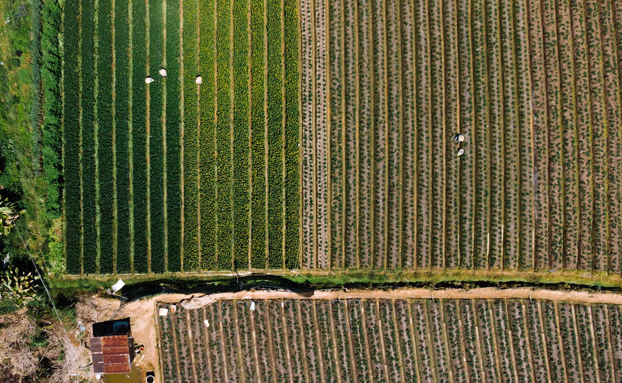
- Agricultural monitoring: Weekly or monthly mapping of farm fields at hundreds of acres per flight makes fixed-wing drones the standard in precision agriculture.
When Multirotor Wins
- Small sites (under 50 acres): The overhead of launching a fixed-wing drone isn’t justified for small areas.
- Close-up inspection: Multirotor drones can hover next to structures, fly close to building facades, and maneuver around obstacles.
- LiDAR missions: Most drone LiDAR payloads (DJI Zenmuse L2/L3) are designed for multirotor platforms.
- Urban environments: Takeoff and landing in confined spaces requires vertical flight capability.
Top Fixed-Wing Mapping Drones
senseFly eBee X
The eBee X has been the industry standard for professional fixed-wing mapping for years. It covers up to 500 hectares (1,235 acres) in a single flight with RTK accuracy. Compatible with a range of cameras including RGB, multispectral, and thermal. Popular with surveying firms, mining companies, and agricultural operations worldwide.
WingtraOne
WingtraOne combines fixed-wing efficiency with VTOL (vertical takeoff and landing) capability — eliminating the need for a runway or catapult. It flies like a fixed-wing drone but takes off and lands vertically like a multirotor. Coverage of 400+ hectares per flight with survey-grade accuracy. The VTOL hybrid design makes it one of the most versatile mapping platforms available.
Delair UX11
The Delair UX11 is designed for long-range operations with 4G/LTE connectivity for beyond-visual-line-of-sight (BVLOS) flights. It covers up to 1,400 hectares in a single flight with PPK accuracy. Popular for corridor mapping, mining, and large-area topographic surveys.
DJI Mavic 3 Multispectral
While technically a compact multirotor, the DJI Mavic 3M deserves mention as a bridge product — it carries both an RGB camera and a multispectral camera for agricultural mapping. For farms under 200 acres, it offers a more accessible entry point than dedicated fixed-wing platforms, though it cannot match fixed-wing coverage for larger operations.
Fixed-Wing Drone Mapping Deliverables
Fixed-wing drone mapping produces the same deliverables as multirotor photogrammetry:
- Orthomosaic maps (GeoTIFF) — Georeferenced, measurable aerial image maps
- Digital Elevation Models (DEM/DSM) — Terrain elevation data for grading, drainage, flood modeling
- Contour maps (DWG, SHP) — Elevation contour lines at specified intervals
- 3D mesh models (OBJ) — Textured 3D surface models
- NDVI/multispectral maps — Crop health indices for agricultural applications
- Volume calculations — Stockpile measurements, cut/fill quantities
All deliverables are compatible with ArcGIS, QGIS, AutoCAD Civil 3D, and standard GIS/CAD platforms.
Corridor Mapping with Fixed-Wing Drones
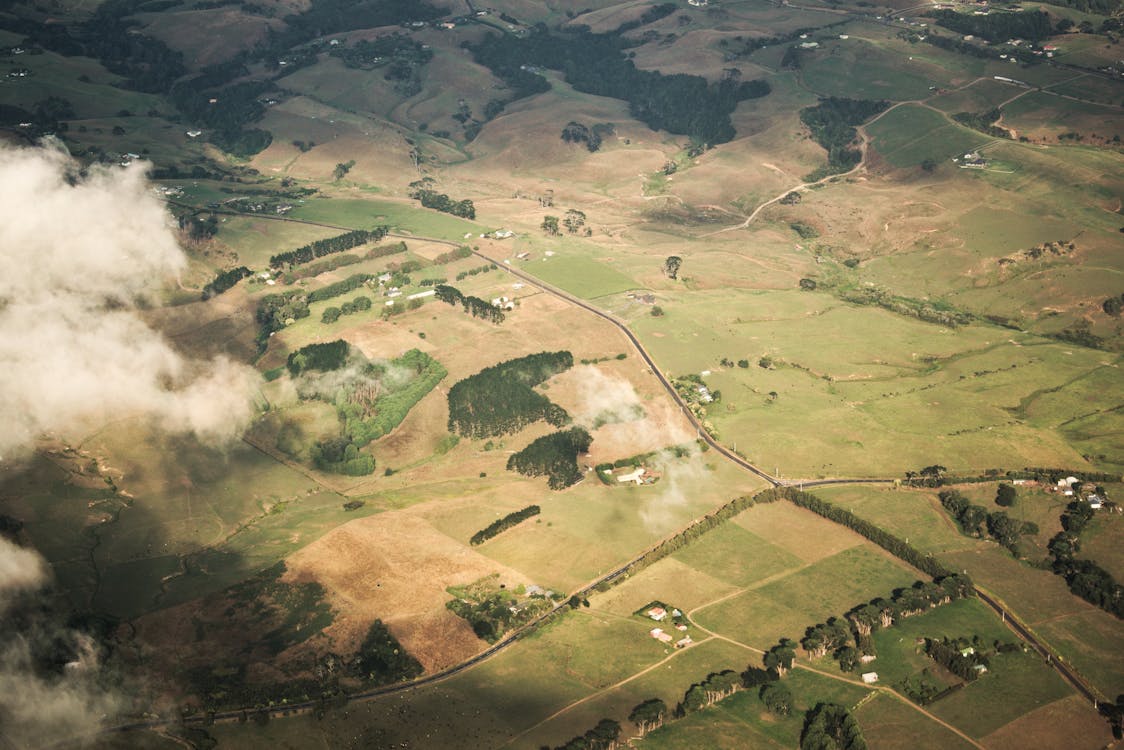
Corridor mapping is one of the strongest applications for fixed-wing drones. Linear projects such as power lines, pipelines, highways, railways, and waterways are naturally suited to fixed-wing flight paths.
Typical corridor mapping parameters:
- Corridor width: 200-1,000 feet (adjustable based on project needs)
- Coverage speed: 5-15 linear miles per flight
- GSD: 1-3 cm/pixel at standard altitude
- Deliverables: Orthomosaic, DEM, cross-section profiles, 3D model
For corridors exceeding 50 miles, helicopter LiDAR may be more efficient. THE FUTURE 3D provides both fixed-wing drone and helicopter LiDAR services to match corridor length and detail requirements.
Accuracy Considerations
Fixed-wing drone mapping accuracy depends on positioning method and ground control:
| Method | Horizontal Accuracy | Vertical Accuracy |
|---|---|---|
| Autonomous GPS | 1-3 meters | 2-5 meters |
| PPK (Post-Processed) | 2-5 cm | 3-8 cm |
| RTK (Real-Time) | 1-3 cm | 2-5 cm |
| RTK + GCPs | 1-2 cm | 2-3 cm |
For engineering and construction applications, RTK or PPK positioning is standard. GCPs add an additional layer of accuracy verification.
Cost of Fixed-Wing Drone Mapping
Fixed-wing drone mapping is priced based on area:
- Small sites (up to 10 acres): $1,500 - $3,000 (multirotor is typically used at this size)
- Medium sites (50-500 acres): $3,000 - $10,000+
- Large areas (500+ acres): $150 - $500 per acre
The per-acre cost decreases significantly as area increases — this is where fixed-wing drones offer the greatest value. A 1,000-acre survey that might cost $30,000-$60,000 with traditional methods can often be completed for $15,000-$25,000 with a fixed-wing drone.
Pricing varies by location, terrain, accuracy requirements, and deliverables. Get a custom quote →
Related Resources
- Aerial Survey & Mapping Overview
- Orthomosaic Mapping Guide
- Aerial LiDAR Guide
- Drone Survey Cost Guide
- Which aerial survey method do I need? (quiz)
THE FUTURE 3D provides fixed-wing drone mapping services for construction, mining, agriculture, and corridor projects across all 50 US states. Request a free quote → or call +1-347-998-1464.
Ready to Start Your Project?
Get a free quote and consultation from our 3D scanning experts.
Get Your Free Quote

