Orthomosaic vs Point Cloud: Which Do You Need?
Both orthomosaics and point clouds are standard outputs from aerial surveys, but they serve different purposes. Understanding when you need each — or both — helps you specify the right deliverables for your project and avoid paying for data you won’t use.
Quick Comparison
| Feature | Orthomosaic | Point Cloud |
|---|---|---|
| What it is | 2D georeferenced aerial image map | 3D dataset of measured XYZ coordinates |
| Dimensions | 2D (flat map) | 3D (with height/depth) |
| Visual quality | Excellent — photographic detail | Moderate — individual points |
| Measurement type | Area, distance, perimeter (2D) | Volume, height, cross-section (3D) |
| File size | Moderate (100 MB - 2 GB) | Large (1 GB - 50+ GB) |
| File format | GeoTIFF, ECW, KMZ | LAS, LAZ, E57 |
| Software needed | Any GIS (ArcGIS, QGIS, Google Earth) | Point cloud viewer (CloudCompare, ReCap) |
| Source | Photogrammetry only | Photogrammetry or LiDAR |
| Vegetation penetration | No | Yes (LiDAR only) |
When You Need an Orthomosaic
An orthomosaic is your best choice when you need:
- Visual documentation — A high-resolution aerial photo map for reports, presentations, and records
- 2D measurement — Measuring areas, distances, and perimeters directly on the map
- Progress monitoring — Before/after visual comparison of construction sites or environmental changes
- GIS integration — Adding aerial imagery to GIS projects alongside parcels, utilities, and other layers
- Stakeholder communication — Sharing an easy-to-understand visual with clients, regulators, or investors
Orthomosaics are delivered as GeoTIFF files that open in any GIS or CAD platform. They require no specialized software to view and interpret.
When You Need a Point Cloud
A point cloud is essential when you need:
- 3D measurement — Volumes (stockpiles, excavations), heights (buildings, structures), cross-sections
- Terrain modeling — Digital terrain models (DTM) and digital surface models (DSM) for design work
- Engineering deliverables — Contour maps, grading plans, cut/fill calculations
- BIM workflows — Point cloud data for import into Revit, AutoCAD, or BIM software
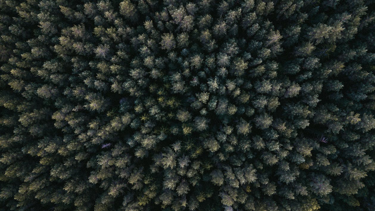
- Vegetation penetration — Mapping bare-earth terrain beneath tree canopy (LiDAR point clouds only)
Point clouds require specialized software (CloudCompare, Autodesk ReCap, Global Mapper) but provide full 3D measurement capability.
When You Need Both
Many projects benefit from both deliverables because they complement each other:
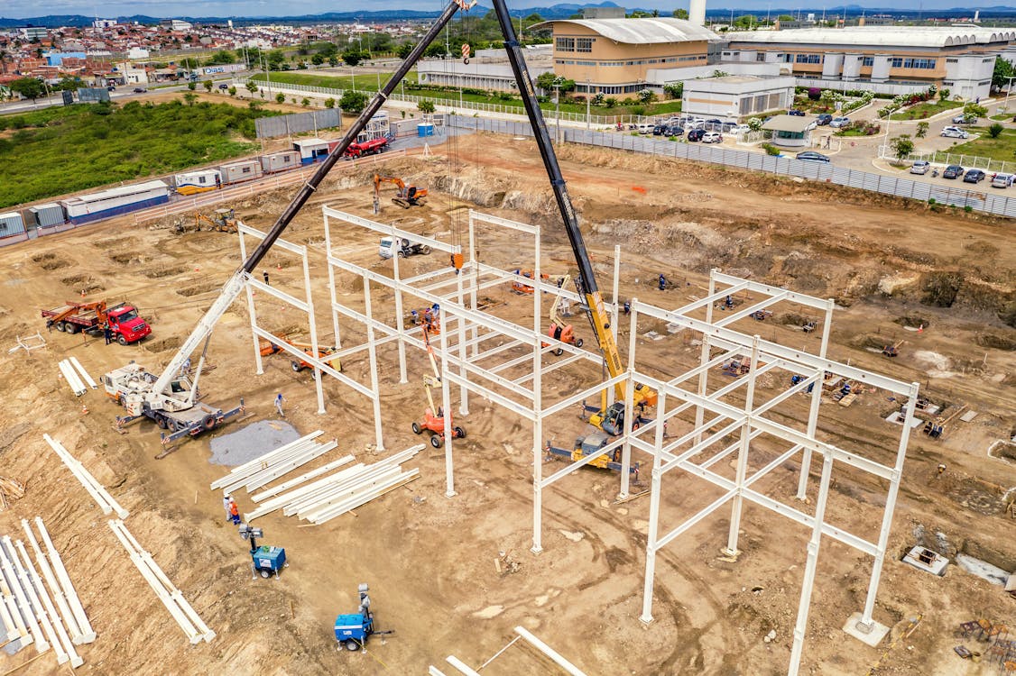
- Construction site surveys: Orthomosaic for visual progress documentation + point cloud for earthwork volume calculations
- Mining operations: Orthomosaic for pit photography + point cloud for stockpile volumes
- Land development: Orthomosaic for site planning overlays + point cloud for grading design
- Environmental monitoring: Orthomosaic for habitat mapping + point cloud for canopy height analysis
THE FUTURE 3D typically delivers both orthomosaics and point clouds from the same survey flight — the raw data supports both products. Adding a point cloud to an orthomosaic project has minimal additional cost since both come from the same captured images or LiDAR scans.
Cost Comparison
Most aerial survey providers (including THE FUTURE 3D) include both orthomosaic and point cloud deliverables in standard project pricing:
- Photogrammetry survey: $1,500-$10,000+ (includes orthomosaic + point cloud + DEM)
- LiDAR survey: $3,000-$15,000+ (includes point cloud + DEM; orthomosaic from simultaneous photos)
You rarely need to choose between them — both are produced from the same data capture.
Related Resources
- Orthomosaic Mapping Guide
- What is a Point Cloud?
- Aerial Survey & Mapping Overview
- Drone Survey Cost Guide
Need an aerial survey with orthomosaic and point cloud deliverables? Request a quote → or call +1-347-998-1464.
Ready to Start Your Project?
Get a free quote and consultation from our 3D scanning experts.
Get Your Free Quote

