3D laser scanning and traditional surveying are both measurement technologies that produce spatial data, but they approach the problem from fundamentally different directions. Understanding the trade-offs between them — in speed, accuracy, cost, deliverables, and applicability — is essential for selecting the right method for your project.
This comparison is based on real-world project data and industry experience, not manufacturer marketing claims. Both technologies have clear strengths and limitations, and the right choice depends entirely on what you need the data for.
Fundamental Differences
How Traditional Surveying Works
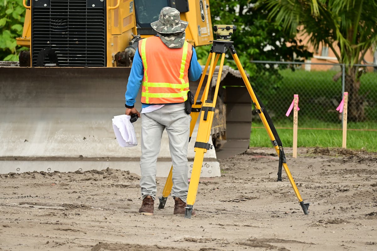
A traditional land or building survey uses instruments — primarily a total station, sometimes supplemented with a GPS/GNSS receiver — to measure discrete points. The surveyor identifies specific points of interest (corners, edges, feature locations, control points), aims the instrument at each point individually, and records the measurement.
The result is a set of precisely measured points, typically numbering in the dozens to low thousands for a building survey. Each point is intentionally selected by the surveyor based on their professional judgment about what needs to be documented.
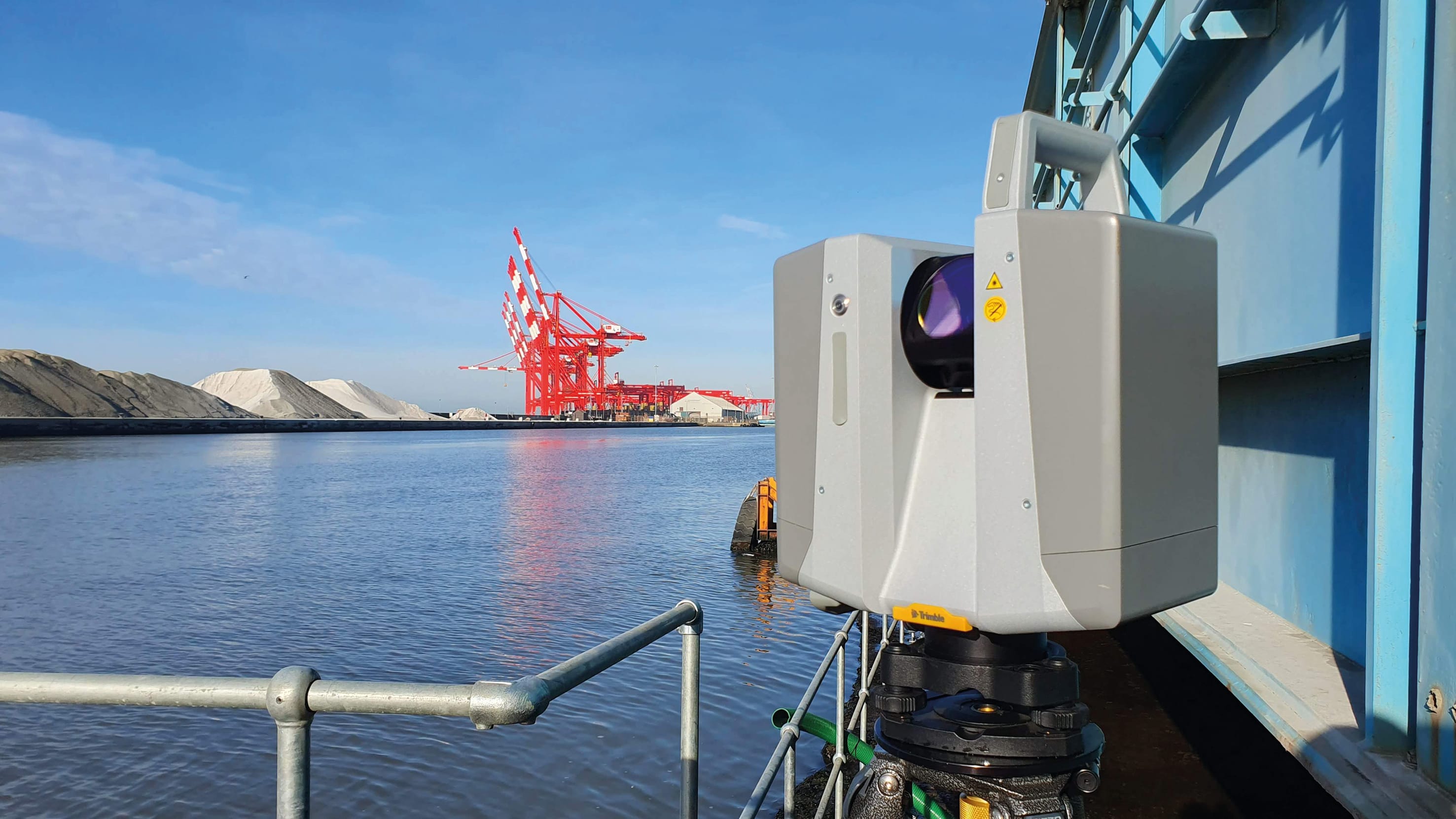
How 3D Laser Scanning Works
A 3D laser scanner captures millions of points automatically by sweeping a laser beam across every visible surface. At each scanner position, the instrument measures everything in its line of sight — walls, floors, ceilings, equipment, furniture, structural elements, MEP systems — without the operator needing to select individual points.
The result is a dense point cloud containing millions to billions of points. The data captures everything the scanner can see, whether or not it was specifically identified as important.
This fundamental difference — selective measurement versus comprehensive capture — drives every other comparison between the two methods.
Speed Comparison
Speed is where the difference between the two technologies is most dramatic, particularly as project size increases.
Small Project (Single Room or Small Area)
| Method | Field Time | Processing Time | Total Time |
|---|---|---|---|
| Traditional survey | 1-2 hours | 1-2 hours (CAD drafting) | 2-4 hours |
| 3D scanning | 30-60 minutes | 2-4 hours (registration + processing) | 2.5-5 hours |
For a small, well-defined scope — measuring the dimensions of a single room or verifying a few specific dimensions — traditional surveying is often faster overall because the setup time and processing overhead of scanning outweigh its speed advantage in the field.
Medium Project (10,000-50,000 SF Building)
| Method | Field Time | Processing Time | Total Time |
|---|---|---|---|
| Traditional survey | 2-4 days | 2-3 days | 4-7 days |
| 3D scanning | 1-2 days | 3-5 days | 4-7 days |
For medium-sized projects, field time favors scanning significantly (often 50% less), but processing time is longer, so the total project timeline is comparable. The difference is in the deliverables — the scan data is dramatically more comprehensive.
Large Project (100,000+ SF Building or Campus)
| Method | Field Time | Processing Time | Total Time |
|---|---|---|---|
| Traditional survey | 1-3 weeks | 1-2 weeks | 2-5 weeks |
| 3D scanning | 3-7 days | 1-2 weeks | 1.5-3 weeks |
For large projects, scanning is substantially faster overall. The field time advantage grows with project size because scanning captures data at a constant rate regardless of complexity, while traditional surveying time scales with the number of individual points that need to be measured.
The Scaling Factor
This is the critical distinction: traditional surveying time scales linearly with the number of features being documented. More walls, more MEP systems, more equipment — more individual measurements needed. 3D scanning time scales primarily with the number of scan positions needed for coverage, which grows much more slowly than the feature count.
In practical terms, a traditional surveyor measuring 100 specific points in a mechanical room might take 2-3 hours. A laser scanner captures the entire room — every pipe, valve, duct, conduit, and structural element — in 3-5 minutes per scan position, typically requiring 3-5 positions for a large mechanical room.
Accuracy Comparison
Accuracy comparisons require distinguishing between individual point accuracy and overall project accuracy.
Individual Point Accuracy
| Method | Typical Accuracy | Precision |
|---|---|---|
| Total station (1” instrument) | 2-3mm at 100m | Sub-millimeter angular |
| Total station (5” instrument) | 5-8mm at 100m | 1-2mm angular |
| Terrestrial laser scanner (high-end) | 1-2mm at 10m, 3-5mm at 50m | 1-3mm |
| Terrestrial laser scanner (mid-range) | 2-4mm at 10m, 5-10mm at 50m | 2-5mm |
For individual point measurements at moderate distances (under 100m), a high-quality total station is generally more accurate than a laser scanner. The total station’s advantage comes from its ability to precisely target specific points, while the scanner’s measurements include some inherent noise from the automated capture process.
Overall Project Accuracy
However, individual point accuracy does not tell the full story. In practice, two additional factors matter:
Completeness reduces error risk. A traditional survey measures selected points and the surveyor interpolates between them. If a wall bows, a floor slopes, or a pipe changes direction between measured points, the survey data will not reflect this. A laser scan captures the actual geometry continuously, eliminating interpolation errors.
Point density enables better downstream measurements. When an architect or engineer measures from scan data, they have millions of points to work with. They can identify exactly the right location to measure from, rather than being limited to the specific points the surveyor chose in the field.
For most AEC (architecture, engineering, construction) applications — renovation design, as-built documentation, facility management — the overall project accuracy of scanning is comparable to or better than traditional surveying despite the slightly lower individual point precision, because the comprehensive coverage eliminates interpolation errors and measurement gaps.
For control-survey applications — boundary surveys, construction layout, precision alignment, deformation monitoring — traditional surveying with a total station remains the gold standard because it provides the highest individual point accuracy with traceable geodetic control.
Cost Comparison
Cost is project-specific, but the following ranges represent typical commercial building documentation projects.
Direct Cost Comparison
| Project Size | Traditional Survey | 3D Scanning | Cost Ratio |
|---|---|---|---|
| Under 2,000 SF | $800 - $2,000 | $1,500 - $3,000 | Scanning 1.5-2x more |
| 2,000-10,000 SF | $2,000 - $6,000 | $2,500 - $6,000 | Roughly equal |
| 10,000-50,000 SF | $5,000 - $15,000 | $4,000 - $12,000 | Scanning 15-30% less |
| 50,000-200,000 SF | $12,000 - $40,000 | $8,000 - $25,000 | Scanning 30-40% less |
| Over 200,000 SF | $30,000 - $100,000+ | $15,000 - $50,000 | Scanning 40-60% less |
For small projects, scanning is typically more expensive than traditional surveying because the fixed costs of mobilization and processing represent a larger share of the total. As project size increases, scanning becomes progressively less expensive per square foot because field time scales more favorably.
Hidden Cost Factors
Beyond the direct service cost, consider these downstream cost impacts:
Re-measurement costs. If a traditional survey misses a critical measurement that is needed later in the design process, someone must return to the site to take additional measurements. With scan data, any measurement within the scanned area can be extracted from the point cloud at any time without returning to the site.
Design iteration costs. When design changes require different measurements from the existing conditions, scan data supports unlimited re-measurement. A traditional survey provides only the specific measurements that were commissioned.
Rework prevention. As-built documentation from scanning captures every surface, including the deviations and irregularities that cause rework when discovered during construction. Traditional surveys, by measuring only selected points, can miss the conditions that lead to field conflicts.
Deliverable Comparison

The deliverables from each method are fundamentally different in character.
Traditional Survey Deliverables
- 2D drawings — Floor plans, sections, elevations in CAD format (DWG, DXF)
- Coordinate data — Tabulated point coordinates (CSV, Excel)
- Control network — Established survey control points with adjusted coordinates
- Survey plat — Legally stamped document for boundary or title surveys
- Written report — Survey methodology, accuracy analysis, notes
3D Scanning Deliverables
- Point cloud data — Raw registered point cloud in standard formats (E57, LAS, RCP)
- Colorized point cloud — Point cloud with RGB color from integrated photography
- Derived measurements — Any measurement extractable from the point cloud
- Floor plans and sections — Derivable from the point cloud at any cut location
- Panoramic imagery — 360-degree photos from each scan position
- Quality report — Registration accuracy, coverage map, methodology
The fundamental difference is that traditional survey deliverables are finished products — the surveyor has already made the professional judgment calls about what to measure and how to represent it. Scanning deliverables are primarily raw data — a comprehensive digital record from which finished products can be derived.
This distinction matters because scan data has a longer useful life. Five years after a traditional survey, if you need a measurement that was not included in the original scope, you must resurvey. Five years after a scan, any measurement within the scanned area is still available in the point cloud.
When to Use Each Method
Use Traditional Surveying When:
- Boundary determination is required (property lines, easements, rights-of-way)
- Legal survey documents with professional stamps are needed
- Construction layout requires precise point coordinates for building placement
- Geodetic control must be established or verified
- Deformation monitoring requires sub-millimeter precision at specific points over time
- The project scope is very small and well-defined (a few specific measurements)
- Budget is limited and the project does not benefit from comprehensive spatial data
Use 3D Scanning When:
- As-built documentation of existing buildings is needed for renovation or facility management
- MEP coordination requires understanding existing conditions comprehensively
- The project requires understanding complex geometry (curved surfaces, irregular layouts, intricate structural systems)
- Multiple downstream users will need spatial data from the same building
- The building will undergo future projects that may require additional measurements
- Construction QA/QC verification against design models is needed
- Historic preservation requires comprehensive documentation of existing conditions
- The project scope is large enough that scanning’s efficiency advantage outweighs its fixed costs
Use Both When:
- The project requires both legal survey documentation and comprehensive as-built data
- Geodetic control is needed to georeference the scan data to a specific coordinate system
- Precision targets need sub-millimeter accuracy while the surrounding environment needs comprehensive documentation
- Site surveys combine property boundary work with building documentation
For a detailed side-by-side analysis of these technologies, see our laser scanning vs. traditional survey comparison.
The Convergence Trend
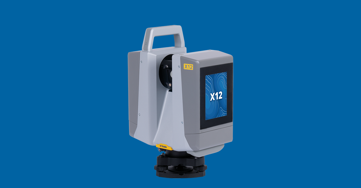
It is worth noting that the boundary between these technologies is blurring. Modern total stations include scanning functionality (scan stations), and modern laser scanners include survey-grade targeting capabilities. The Trimble X12, for example, combines high-speed scanning with survey-grade angular measurements.
This convergence means that for many projects, the choice is not strictly binary. A scanning crew can establish survey control with the same instrument that captures the point cloud, providing both the geodetic precision of traditional surveying and the comprehensive coverage of scanning in a single mobilization.
Frequently Asked Questions
Can a 3D scanner replace a licensed surveyor?
For boundary surveys, legal descriptions, and documents that require a professional land surveyor’s stamp — no. These are licensed professional activities that require specific legal authority. For building documentation, as-built drawings, and construction verification — scanning produces equal or better results than traditional methods for most applications. Many licensed surveyors now use 3D scanning as their primary data collection tool.
Is scan data legally admissible?
Yes. Point cloud data is used as evidence in construction disputes, insurance claims, and forensic investigations. The data is a factual record of physical conditions at a specific point in time. However, for boundary determination and property title work, a licensed surveyor’s professional opinion and stamped documents remain the legal standard.
Can I convert point cloud data to traditional 2D drawings?
Yes. 2D floor plans, sections, and elevations can be derived from point cloud data by taking horizontal or vertical slices through the point cloud and tracing the resulting geometry. This is a standard workflow in Revit, AutoCAD, and other AEC software. The resulting drawings are based on actual captured geometry rather than selected point measurements.
Which method has better ROI for renovation projects?
For renovation projects over approximately 5,000 square feet, scanning typically provides better ROI because: (1) the field work is faster, (2) the data supports unlimited re-measurement without return visits, (3) the comprehensive coverage reduces the risk of missing critical existing conditions, and (4) the data has long-term value for future maintenance and facility management.
Need help determining the right approach for your project? Get a quote from THE FUTURE 3D, or explore our full range of 3D laser scanning services. Our team can recommend the optimal combination of scanning and traditional survey methods based on your specific project requirements.
Ready to Start Your Project?
Get a free quote and consultation from our 3D scanning experts.
Get Your Free Quote

