
Aerial LiDAR vs Drone LiDAR: When to Use Each Platform
Aerial LiDAR captures topographic and structural data by firing laser pulses from an airborne platform — whether that’s a small multirotor drone, a fixed-wing drone, a helicopter, or a manned aircraft. The platform you choose determines how much area you can cover, how fast you can capture data, what sensors you can carry, and ultimately what the project costs.
This guide breaks down the three primary aerial LiDAR platforms: drone-mounted LiDAR, helicopter LiDAR, and manned aircraft LiDAR — with clear guidance on when each makes sense.
Quick Comparison
| Factor | Drone LiDAR | Helicopter LiDAR | Manned Aircraft LiDAR |
|---|---|---|---|
| Coverage/day | 50-300 acres | 50-200 sq miles | 200+ sq miles |
| Accuracy | 1-3 cm | 2-5 cm | 5-15 cm |
| Point density | 50-300+ pts/m² | 10-50 pts/m² | 5-20 pts/m² |
| Altitude | 100-400 ft AGL | 500-2,000 ft AGL | 1,000-6,000 ft AGL |
| Sensor weight | 0.5-2 kg | 5-25 kg | 10-50+ kg |
| Vegetation penetration | Good | Excellent | Good |
| Best for | Sites < 500 acres | Corridors, 500+ acres | Regional, 1,000+ sq mi |
| Price range | $3,000 - $15,000+ | Project-based | Project-based |
Drone-Mounted LiDAR
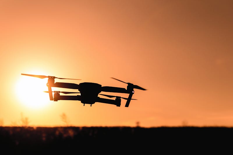
Drone LiDAR has become the most common aerial LiDAR method for projects under 500 acres. Modern drone LiDAR sensors like the DJI Zenmuse L2 and L3 combine a LiDAR scanner, RGB camera, and IMU in a single compact payload that mounts on standard enterprise drone platforms.
Strengths
- Highest point density: 50-300+ points per square meter — far denser than helicopter or aircraft-mounted sensors at the same cost
- Best accuracy for small areas: 1-3 cm vertical accuracy with RTK/PPK positioning
- Fastest deployment: No airport or helipad needed. Launch from any open area
- Lowest cost: $3,000-$15,000 for most projects (vs. $25,000+ for helicopter)
- Highest resolution: Lower flight altitude produces higher-detail data
Limitations
- Limited coverage: Battery life limits flights to 30-45 minutes, covering 50-300 acres per flight
- Smaller sensors: Lighter LiDAR sensors have shorter range and lower pulse rates than helicopter-mounted units
- Airspace restrictions: FAA Part 107 limits altitude to 400 ft AGL and requires visual line of sight (waivers available)
- Weather sensitivity: Stronger wind limits affect small drone platforms more than helicopters
Best Use Cases
- Construction site topographic surveys (5-500 acres)
- Forestry inventory and canopy analysis (small parcels)
- Flood modeling and drainage design
- Archaeological site documentation
- Mine site mapping and volume calculations
- Utility right-of-way surveys (short corridors)
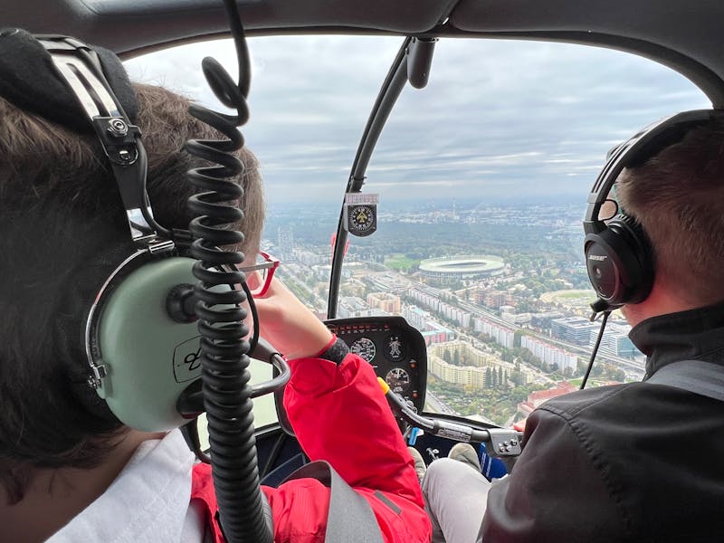
Helicopter LiDAR
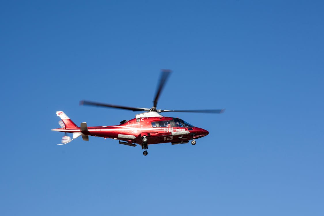
Helicopter LiDAR uses larger, more powerful sensors mounted on manned helicopters. These systems can survey vast areas and long corridors that would be impractical with drones. THE FUTURE 3D provides helicopter LiDAR survey services for projects requiring large-area or corridor coverage.
Strengths
- Massive coverage: 50-200 square miles per day — 100x the coverage of a drone
- Longer corridors: Survey 50-500+ miles of pipeline, power line, or highway in a single campaign
- More powerful sensors: Riegl VUX series, Leica ALS systems, and Optech sensors offer higher pulse rates (up to 2 million pulses/second) and longer range
- Better vegetation penetration: Higher pulse rates and multiple return capability improve bare-earth extraction
- No FAA drone restrictions: Operates under standard manned aircraft rules — no altitude limits within approved flight plans
Limitations
- Higher cost: Helicopter mobilization, fuel, pilot, and sensor rental increase project costs significantly
- Lower point density at altitude: Flying higher reduces points per square meter (typically 10-50 pts/m²)
- Noise and community impact: Helicopter operations are louder and more visible than drones
- Weather windows: Requires VFR conditions and lower wind thresholds than fixed-wing aircraft
Best Use Cases
- Power line and pipeline corridor mapping (50-1,000+ miles)
- Large-area topographic surveys (1,000+ acres)
- Coastal and shoreline mapping
- Transportation corridor surveys (highways, railways)
- Forest inventory over large tracts (10,000+ acres)
- Emergency response (flood mapping, wildfire damage assessment)
Manned Aircraft LiDAR
Fixed-wing manned aircraft carry the largest LiDAR sensors at the highest altitudes, covering the most area per flight hour. This platform is used for regional and statewide mapping programs where coverage efficiency is the priority over point density.
Strengths
- Maximum coverage: 200+ square miles per day — ideal for county, state, or regional mapping
- Highest efficiency for large areas: Lowest cost per square mile for projects exceeding 100 square miles
- Proven workflows: Decades of operational history with established accuracy standards
- Stable platform: Fixed-wing aircraft provide smoother, more consistent data capture than helicopters in turbulence
Limitations
- Lowest resolution: Higher altitude means fewer points per square meter (typically 5-20 pts/m²)
- Lower accuracy: 5-15 cm vertical accuracy at standard flight parameters
- Airport dependency: Requires runway access for takeoff and landing
- Highest minimum project size: Not cost-effective for areas under 10-20 square miles
Best Use Cases
- Statewide or regional topographic mapping programs
- Floodplain mapping (FEMA, USGS standards)
- National-scale terrain model updates
- Large-scale forestry assessment (100,000+ acres)
Decision Framework: Which Platform to Choose
Choose Drone LiDAR when:
- Survey area is under 500 acres
- You need the highest point density (50-300+ pts/m²)
- Centimeter-level accuracy is critical
- Budget is under $15,000
- Fast turnaround (3-7 business days) is needed
Choose Helicopter LiDAR when:
- Survey area exceeds 500 acres or is a long corridor (50+ miles)
- You need vegetation penetration over very large areas
- Drone airspace restrictions apply (near airports, in restricted zones)
- The project requires rapid mobilization across multiple sites
Choose Manned Aircraft LiDAR when:
- Coverage area exceeds 100 square miles
- Regional or statewide mapping is the goal
- Lower point density (5-20 pts/m²) is acceptable
- The project is part of a government or institutional mapping program
Can You Combine Platforms?
Yes. Many projects benefit from a multi-platform approach. For example:
- Helicopter LiDAR for a 200-mile pipeline corridor to capture the overall alignment
- Drone LiDAR for detailed surveys at each pump station, valve site, and river crossing
- This combination provides both macro-level corridor data and micro-level facility detail
THE FUTURE 3D coordinates multi-platform aerial LiDAR surveys to deliver the right level of detail at every project scale.
Related Resources
- Aerial Survey & Mapping Overview — Complete guide to all aerial survey methods
- What is a Point Cloud? — Understanding LiDAR deliverables
- Orthomosaic Mapping Guide — When to use photogrammetry instead
- Terrestrial vs Airborne LiDAR — Ground-based vs aerial comparison
- Drone Survey Cost Guide — Pricing breakdown
Need an aerial LiDAR survey? Request a free quote → or call +1-347-998-1464. THE FUTURE 3D provides drone, helicopter, and manned aircraft LiDAR services across all 50 US states.
Ready to Start Your Project?
Get a free quote and consultation from our 3D scanning experts.
Get Your Free Quote

