Drone Topographic Survey: How It Works & What It Costs
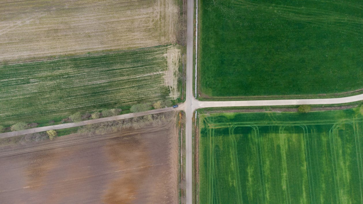
A drone topographic survey captures the elevation and shape of a land surface using an airborne drone equipped with cameras (photogrammetry) or LiDAR sensors. The resulting data produces digital elevation models, contour maps, and 3D terrain representations used for site design, grading, drainage planning, and earthwork calculations.
Drone topographic surveys have largely replaced traditional ground surveys for areas larger than 5-10 acres, delivering comparable accuracy at a fraction of the time and cost.
How It Works

1. Ground Control Points (GCPs)
Before flight, surveyors place GCP targets across the site — marked points with precisely known coordinates measured by GNSS/RTK equipment. GCPs anchor the photogrammetric or LiDAR solution to real-world coordinates. Typical distribution: 5-10 GCPs per 100 acres.
2. Drone Flight
The drone flies a planned grid pattern at 200-400 feet altitude, capturing overlapping photographs (photogrammetry) or firing laser pulses (LiDAR) across the entire site. RTK or PPK positioning records the precise drone location at each exposure.
3. Data Processing
Software processes the raw data into:
- Dense point cloud — millions of 3D-measured points representing the terrain surface
- Digital Terrain Model (DTM) — bare-earth elevation with vegetation removed
- Digital Surface Model (DSM) — top-of-surface elevation including vegetation and structures
- Contour map — elevation contour lines at specified intervals (0.5ft, 1ft, 2ft)
4. Deliverables
Final deliverables are exported in industry-standard formats:
- GeoTIFF (DEM/DSM raster)
- LAS/LAZ (point cloud)
- DWG/DXF (contours for CAD)
- SHP/GeoJSON (GIS vector)
- Orthomosaic (georeferenced aerial imagery)
Photogrammetry vs LiDAR for Topographic Surveys
| Factor | Photogrammetry | LiDAR |
|---|---|---|
| Accuracy | 2-5 cm vertical | 1-3 cm vertical |
| Vegetation | Cannot see through canopy | Penetrates canopy to map bare earth |
| Visual output | Excellent (RGB orthomosaic) | Point cloud (colorized) |
| Cost | $1,500-$10,000 | $3,000-$15,000+ |
| Best for | Open terrain, construction sites | Forested areas, dense vegetation |
For sites with heavy vegetation, LiDAR is essential — photogrammetry can only map what the camera can see.
Accuracy Standards
Professional drone topographic surveys meet ASPRS (American Society for Photogrammetry and Remote Sensing) accuracy standards:
- With GCPs + RTK: 1-3 cm horizontal, 2-5 cm vertical
- RTK only (no GCPs): 3-5 cm horizontal, 5-8 cm vertical
- Autonomous GPS: 1-3 meter accuracy (not survey-grade)
For engineering design work, RTK + GCPs is the standard. Licensed surveyor certification is available as an add-on for projects requiring stamped deliverables.
Applications
- Site design: Existing conditions survey for grading design, building pad layout, drainage planning
- Earthwork volumes: Cut/fill calculations for bid estimation and progress payment verification
- Drainage analysis: Watershed delineation, flow paths, low-point identification
- Construction monitoring: Regular topo surveys track site progress against design grade
- Erosion monitoring: Temporal surveys quantify material loss or deposition
- Flood modeling: Terrain data feeds hydraulic models for floodplain analysis
Pricing
| Project Size | Photogrammetry | LiDAR |
|---|---|---|
| Up to 10 acres | $1,500 - $3,000 | $3,000 - $5,000 |
| 10-50 acres | $3,000 - $10,000 | $5,000 - $15,000 |
| 500+ acres | $150-$300/acre | $150-$500/acre |
Pricing varies by location, terrain, and deliverables. These are average US rates. Get a custom quote →
Related Resources
- Aerial Survey & Mapping Overview
- Orthomosaic Mapping Guide
- Aerial LiDAR Guide
- Drone Survey Cost Guide
- Aerial Survey Cost Estimator
Need a drone topographic survey? Request a free quote → or call +1-347-998-1464. THE FUTURE 3D provides drone photogrammetry and LiDAR surveys across all 50 US states.
Ready to Start Your Project?
Get a free quote and consultation from our 3D scanning experts.
Get Your Free Quote

