Reality capture is one of those terms that gets used constantly in architecture, engineering, and construction but rarely gets a clear definition. Everyone talks about it, project managers request it, and equipment manufacturers market it — but what does it actually mean in practice?
This guide provides a straightforward explanation of reality capture technology, covers the major methods used across the industry, explains what each one is best suited for, and helps you understand which approach fits your project needs.
Defining Reality Capture
Reality capture is the process of digitally recording the physical world — a building, a site, a landscape, an object — as accurate, measurable 3D data. The goal is to create a digital representation that faithfully mirrors real-world conditions with enough precision to support measurement, analysis, design, and documentation workflows.
The term is intentionally broad because it encompasses multiple technologies:
- 3D laser scanning (terrestrial LiDAR)
- Photogrammetry (aerial and terrestrial)
- Structured light scanning
- Mobile mapping (indoor and outdoor)
- LiDAR (airborne and mobile)
What unites these technologies is their purpose: converting physical reality into digital data that professionals can work with remotely, share across teams, and use as a foundation for design, construction, and management decisions.
The outputs of reality capture include point clouds, 3D meshes, orthomosaic maps, textured models, and — when paired with modeling work — BIM models and digital twins.
The Core Technologies
1. Terrestrial Laser Scanning (TLS)

Terrestrial laser scanning is the workhorse of reality capture in the AEC industry. A tripod-mounted scanner emits millions of laser pulses per second, measuring the precise distance from the scanner to every visible surface. The result is a dense point cloud — a three-dimensional dataset of measured points — that captures the exact geometry of the scanned environment.
How it works: The scanner rotates 360 degrees on its axis, firing a laser beam that bounces off surrounding surfaces. Each returned pulse is recorded as a point with X, Y, Z coordinates, intensity values, and (with integrated cameras) RGB color. Modern scanners like the Leica RTC360 and FARO Focus Premium capture up to 2 million points per second.
Accuracy: Typically 1-2mm at ranges up to 130 meters.
Best for:
- Interior building documentation
- Complex industrial facilities
- Historical and heritage structures
- As-built documentation for renovations
- MEP system documentation
Limitations:
- Line-of-sight only — cannot see through walls or around corners
- Requires multiple scan setups to cover an entire building
- Reflective surfaces (glass, mirrors, polished metal) can cause noise
- Relatively slow for very large outdoor areas
For a deeper explanation, see our guide on how 3D scanning works.
2. Photogrammetry
Photogrammetry reconstructs 3D geometry from overlapping 2D photographs. Software algorithms identify matching features across multiple images taken from different angles and compute the 3D position of each feature point. The result is a 3D point cloud, mesh, or textured model.
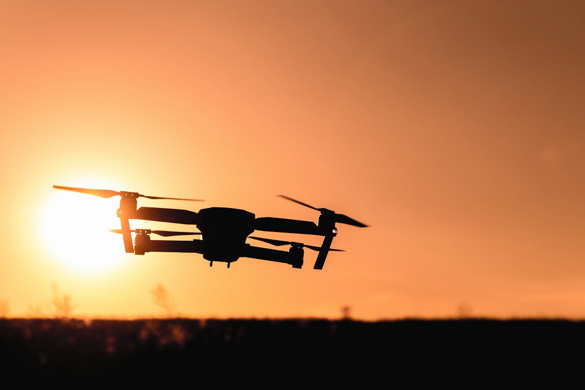
How it works: A camera (mounted on a drone, handheld, or on a tripod) captures hundreds to thousands of overlapping photographs of the subject. Software like Pix4D, Agisoft Metashape, or DroneDeploy processes these images using Structure from Motion (SfM) algorithms to reconstruct the 3D scene.
Accuracy: Typically 10-50mm for drone-based aerial photogrammetry with ground control points. Close-range photogrammetry can achieve sub-millimeter accuracy for small objects.
Best for:
- Large site mapping and topographic surveys
- Building facade documentation
- Orthomosaic map generation
- Volumetric calculations (stockpiles, earthwork)
- Cultural heritage documentation (especially exterior)
- Construction progress monitoring
Limitations:
- Accuracy depends heavily on lighting conditions and surface texture
- Struggles with featureless or reflective surfaces
- Processing is computationally intensive and time-consuming
- Requires ground control points for geo-referenced accuracy
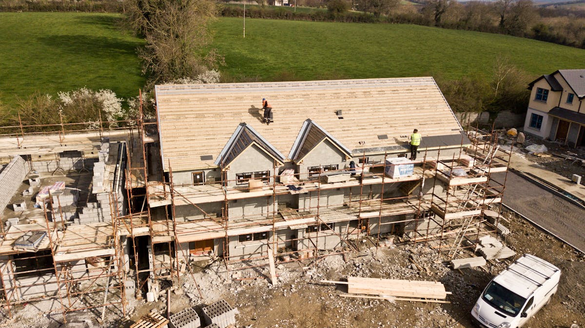
THE FUTURE 3D offers drone photogrammetry alongside laser scanning for projects that benefit from aerial coverage.
3. Structured Light Scanning
Structured light scanning projects known patterns (stripes, grids, or coded light) onto an object’s surface. A camera captures how the projected pattern deforms across the surface geometry, and software calculates the 3D shape from those deformations.
How it works: A projector casts a sequence of light patterns onto the subject while one or two cameras record the distorted patterns. The deformation of each pattern line reveals the surface’s 3D contour. Multiple captures from different angles are stitched together for complete coverage.
Accuracy: Very high — typically 0.01-0.1mm for industrial-grade systems.
Best for:
- Small to medium object scanning (industrial parts, artifacts)
- Quality control and inspection in manufacturing
- Reverse engineering of mechanical components
- Cultural artifact documentation
- Medical and dental applications
Limitations:
- Limited range (typically under 2 meters)
- Sensitive to ambient lighting conditions
- Not practical for large-scale building documentation
- Requires controlled scanning environments
4. Mobile Mapping
Mobile mapping combines LiDAR sensors, cameras, GNSS receivers, and inertial measurement units (IMUs) on a moving platform — a vehicle, a backpack, a handheld device, or a trolley. The system captures 3D data continuously as it moves through a space.
How it works: The platform moves through the environment while sensors continuously capture point data and imagery. SLAM (Simultaneous Localization and Mapping) algorithms track the platform’s position and build a 3D map in real-time. The NavVis VLX is a leading example for indoor mobile mapping.
Accuracy: Typically 5-15mm for indoor mobile mapping systems.
Best for:
- Large-footprint buildings (warehouses, hospitals, airports)
- Rapid documentation of entire facilities
- Corridor-heavy environments
- Street-level mapping and urban documentation
- As-built surveys where speed is prioritized over maximum accuracy
Limitations:
- Lower accuracy than static terrestrial scanners
- Drift accumulates over long traverses
- Requires loop closure for best accuracy
- Point density is lower than static scanning
5. Airborne LiDAR
Airborne LiDAR mounts a laser scanner on an aircraft or drone to capture large-area topographic data from above. The system fires laser pulses toward the ground, measuring the distance to the surface below. Combined with GNSS and IMU data, each return is mapped to a precise geographic coordinate.
How it works: A laser scanner on a drone or aircraft fires pulses downward at rates of 100,000 to 1,000,000+ pulses per second. Each pulse that returns from a surface is recorded with precise timing and the aircraft’s position, allowing calculation of the ground point’s 3D coordinate.
Accuracy: Typically 20-50mm vertically, 50-100mm horizontally.
Best for:
- Large-area topographic surveys
- Corridor mapping (roads, pipelines, transmission lines)
- Forest canopy and vegetation analysis
- Floodplain and watershed mapping
- Mining and quarry volumetrics
Limitations:
- Limited interior detail (cannot penetrate buildings)
- Expensive equipment and operation costs
- Requires GNSS base station for accurate positioning
- Cannot capture building interiors
Choosing the Right Method
| Factor | Laser Scanning | Photogrammetry | Structured Light | Mobile Mapping | Airborne LiDAR |
|---|---|---|---|---|---|
| Accuracy | 1-2mm | 10-50mm | 0.01-0.1mm | 5-15mm | 20-50mm |
| Range | 0.5-350m | Unlimited (drone) | 0.1-2m | Indoor/outdoor | 50-5000m altitude |
| Speed | Moderate | Fast (capture) / Slow (processing) | Slow | Very fast | Very fast |
| Cost | $$$$ | $$ | $$$ | $$$ | $$$$ |
| Indoor | Excellent | Limited | Excellent (small) | Excellent | N/A |
| Outdoor | Good | Excellent | Poor | Good | Excellent |
| Best scale | Building | Site | Object | Building/campus | Region |
The decision often comes down to three questions:
- What is the size of the area? Small objects favor structured light. Buildings favor laser scanning or mobile mapping. Large sites favor photogrammetry or airborne LiDAR.
- What accuracy do you need? Sub-millimeter requirements point to structured light. Millimeter accuracy points to terrestrial laser scanning. Centimeter accuracy opens up photogrammetry and mobile mapping.
- What is the time constraint? When speed is critical, mobile mapping and drone photogrammetry are fastest in the field. When accuracy is critical, terrestrial laser scanning is the standard.
Reality Capture Outputs
Reality capture technologies produce several types of output data:
Point clouds — The most common output. Collections of measured 3D points with coordinates, color, and intensity data. Delivered in formats like E57, LAS, RCP/RCS, and PTS. Point clouds are the foundation for nearly all downstream workflows. Learn more in our guide on what is a point cloud.
3D meshes — Continuous surface models created by connecting point cloud data into triangulated surfaces. Used for visualization, 3D printing, and applications requiring watertight geometry.
Orthomosaic maps — Geometrically corrected aerial photographs stitched together into a single, measurable map image. Standard output from drone photogrammetry projects.
Textured 3D models — Mesh models with photographic texture applied for photorealistic appearance. Used for visualization, virtual tours, and heritage documentation.
Digital twins — When reality capture data is combined with sensor data and BIM models, the result is a digital twin — a dynamic, real-time virtual replica of a physical asset. Learn more about digital twins vs BIM.
Common Use Cases in AEC
Renovation and Retrofit Documentation
Reality capture replaces manual measurement for existing building documentation. A laser scan of a building being renovated provides the design team with accurate existing conditions — wall positions, floor elevations, ceiling heights, MEP routing — without the errors and omissions inherent in manual surveys.
Construction Progress Monitoring
Regular reality capture during construction allows project managers to compare actual built conditions against the design model. This catches deviations early, documents progress for stakeholders, and provides a permanent record of hidden conditions (structural framing, MEP rough-in) before they are covered by finishes.
Facility Management and Operations
Reality capture creates the as-built foundation for facility management systems. When combined with BIM models and sensor data, it enables space management, maintenance planning, and capital project planning based on accurate building data rather than outdated drawings.
Heritage Preservation
Reality capture documents historic structures with a level of detail and accuracy that traditional surveying cannot match. Point clouds and textured models of heritage buildings serve as permanent digital records and support restoration planning.
How THE FUTURE 3D Uses Reality Capture
THE FUTURE 3D deploys multiple reality capture technologies depending on what each project requires. Our equipment inventory includes terrestrial laser scanners (Leica RTC360, FARO Focus Premium), mobile mapping systems (NavVis VLX), and drone platforms for photogrammetry and aerial LiDAR.
We deliver BIM-conversion-ready 3D laser scan data in E57, RCP, LAS, and OBJ formats. Whether your project needs millimeter-accuracy interior documentation, large-site aerial mapping, or rapid whole-building capture, we match the right reality capture technology to your requirements.
Explore our 3D laser scanning services and drone photogrammetry services to learn more about our capabilities.
Frequently Asked Questions
Is reality capture the same as 3D scanning?
3D scanning is one form of reality capture, but reality capture is a broader term. It includes laser scanning, photogrammetry, structured light scanning, mobile mapping, and airborne LiDAR. All of these are reality capture technologies; 3D laser scanning is the most common one used in building documentation.
How accurate is reality capture data?
Accuracy varies by technology. Terrestrial laser scanning achieves 1-2mm. Drone photogrammetry achieves 10-50mm. Mobile mapping achieves 5-15mm. Structured light scanning achieves sub-millimeter accuracy for small objects. The right technology depends on your accuracy requirements.
What software do I need to view reality capture data?
Free viewers include Autodesk ReCap (for RCP/RCS files) and CloudCompare (open source, supports most point cloud formats). For professional work, Leica Cyclone, FARO SCENE, and Trimble RealWorks offer advanced analysis capabilities. Most BIM platforms (Revit, ArchiCAD) can import point clouds directly.
How long does a reality capture project take?
Field capture for a typical commercial building takes one to three days with laser scanning. Processing takes an additional two to five days. Drone photogrammetry can capture a large site in hours, but processing may take one to three days. Mobile mapping can capture an entire building in a single day.
Can reality capture data be converted to BIM?
Yes, but not automatically. Reality capture produces point clouds and meshes — raw geometric data. Converting this to an intelligent BIM model requires skilled human modeling in software like Revit. THE FUTURE 3D delivers the scan data; BIM conversion is performed by your team or a specialized BIM modeling firm. See our point cloud vs BIM guide for more detail.
Ready to capture your building or site? Get a quote from THE FUTURE 3D or explore our services to find the right reality capture approach for your project. Not sure if scanning is right for your situation? Try our 3D scanning assessment tool or browse our glossary of 3D scanning and BIM terminology.
Ready to Start Your Project?
Get a free quote and consultation from our 3D scanning experts.
Get Your Free Quote

