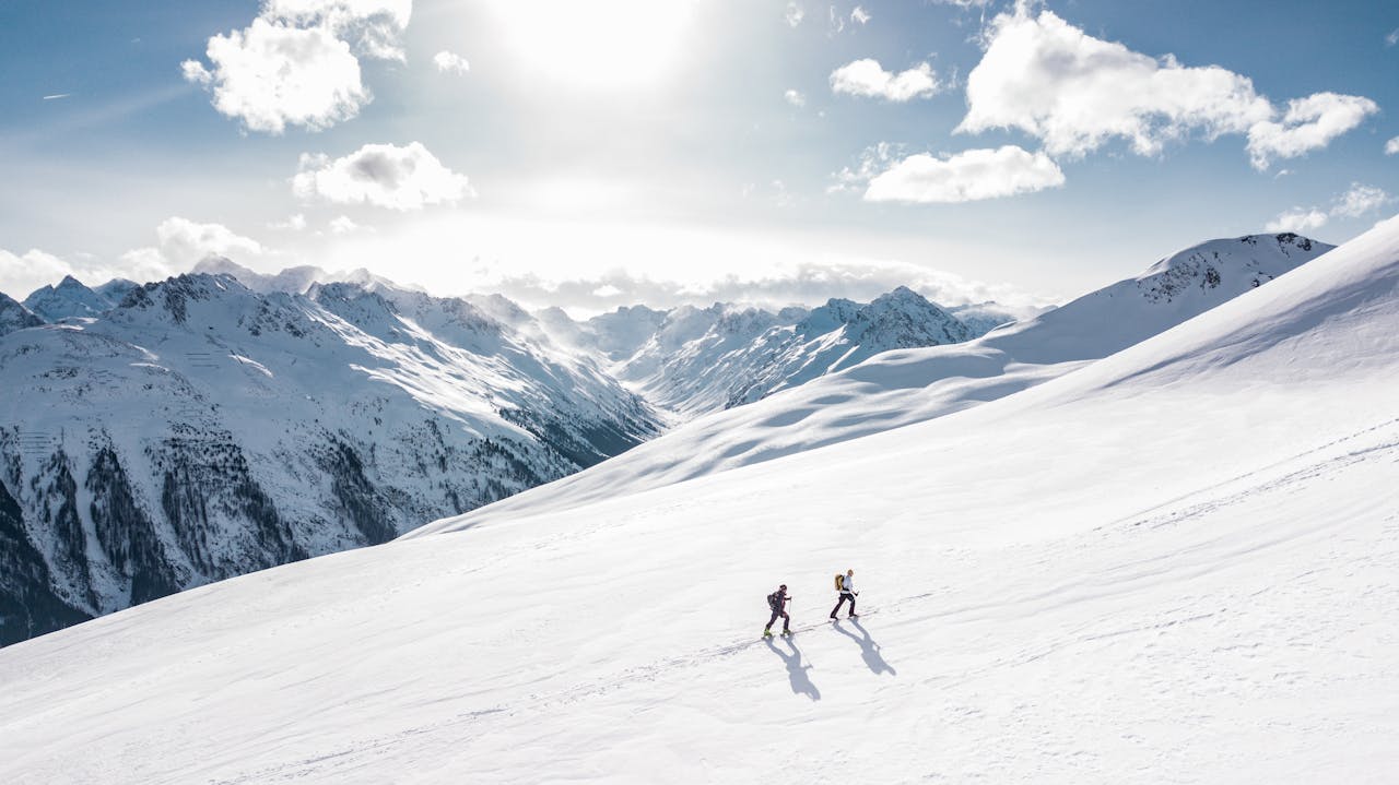
At the Zincton Mountain Resort development in British Columbia, a solo surveyor captured 740 acres of mountain terrain at 400 feet altitude in approximately 120 minutes using a LiDAR drone. The resulting dataset — with sub-5cm vertical accuracy — provided the topographic foundation for access road design using Civil 3D.
That project demonstrates the defining advantage of drone LiDAR for ski resort terrain: massive area coverage at survey-grade accuracy, delivered in hours instead of weeks, through forested mountain terrain where ground surveys and photogrammetry cannot match the results.
Why LiDAR Beats Photogrammetry for Mountain Terrain
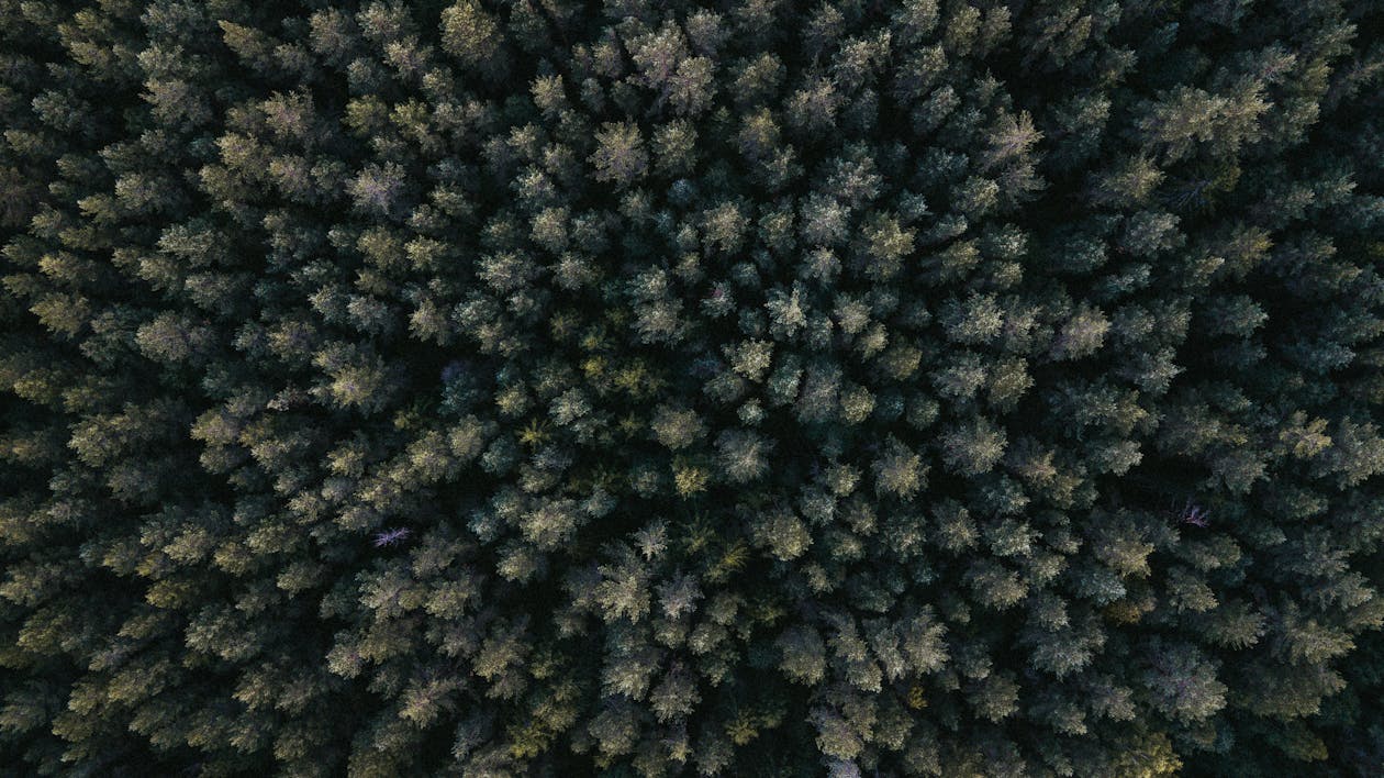
The distinction between LiDAR and photogrammetry is critical for ski resort work. Mountain terrain is dominated by dense vegetation — conifers, deciduous forest, alpine scrub — that covers the ground surface that engineers and planners actually need to measure.
The Canopy Penetration Advantage
LiDAR fires laser pulses that pass through gaps in the tree canopy to reach the ground. Each pulse can register up to 5 returns — the first from the canopy top, intermediate returns from branches, and the final return from the ground surface.
This produces two distinct datasets from a single flight:
- Digital Surface Model (DSM): The top of everything, including trees and structures
- Digital Terrain Model (DTM): The bare earth, with all vegetation digitally removed
For ski resort planning, the DTM is the critical deliverable. Trail routing, road design, grading, and drainage all depend on knowing the actual ground surface — not the canopy above it.
Why Photogrammetry Falls Short
Photogrammetry reconstructs 3D surfaces from overlapping photographs. On forested mountain terrain:
- The camera sees tree canopy, not the ground
- Under dense conifer canopy, zero ground surface is visible
- The resulting surface model represents tree height, not terrain elevation
- Ground-truthing reveals 5-15 meter errors in elevation under forested areas
For ski resort work, photogrammetry is useful for visual documentation (orthomosaics, textured models) but inadequate for terrain engineering.
Trail Design Through Forested Terrain
Ski trail design is fundamentally a terrain engineering problem. Trail designers need:
Slope Classification
LiDAR terrain data is processed to classify every square meter of the mountain by gradient:
- Beginner terrain (green): 6-25% grade
- Intermediate terrain (blue): 25-40% grade
- Expert terrain (black): 40%+ grade
- Cliff bands and obstacles: Identified by abrupt grade changes
This classification reveals where each difficulty level naturally exists on the mountain — before any clearing or grading is done.
Clearing Optimization
Trail clearing (removing trees to create ski runs) is expensive — $5,000-$20,000+ per acre depending on timber density and terrain access. LiDAR data optimizes clearing by:
- Identifying natural clearings and thin canopy areas that require less work
- Routing trails through terrain features that minimize earthwork
- Calculating timber volume to be removed (the DSM minus DTM gives tree height; combined with stem density from the point cloud, this estimates volume)
Drainage and Erosion Planning
Mountain trails concentrate water flow during snowmelt and rain events. The DTM enables:
- Flow accumulation analysis showing where water concentrates on proposed trail alignments
- Culvert sizing based on contributing watershed area
- Erosion risk assessment at grade transitions and trail crossings
Avalanche Risk Mapping
Avalanche hazard assessment depends on terrain data that only LiDAR can provide in forested mountain environments:
Slope Angle Analysis
Avalanche start zones are characterized by slope angles between 25-60 degrees (most common: 35-45 degrees). LiDAR terrain data enables:
- Complete slope angle mapping across the entire resort footprint
- Identification of all potential start zones, including those hidden under dense forest canopy
- Size estimation of potential avalanche paths (start zone area correlates with avalanche size)
Runout Path Modeling
Once an avalanche releases, its path and stopping point depend on terrain geometry below the start zone. The DTM provides:
- Continuous terrain profile from start zone to valley floor
- Terrain features that channelize or disperse avalanche flow
- Deposition zone identification (where the slope angle drops below the friction threshold)
- Building and infrastructure exposure assessment
Vegetation Assessment
Dense mature forest can anchor snowpack and reduce avalanche risk. The LiDAR point cloud provides:
- Canopy density mapping (areas of thin canopy are more susceptible)
- Tree height distribution (taller, older trees provide better anchoring)
- Gap analysis (openings in the canopy where avalanches can initiate)
Snow Depth Measurement
One of the most innovative applications of LiDAR for ski resorts is snow depth monitoring through repeat surveys:
The Method
- Pre-season survey (fall, before snowfall): Capture the bare-earth DTM
- Mid-season survey (during winter operations): Capture the snow surface DSM
- Subtraction: Snow surface minus bare earth = snow depth at every point
What This Reveals
- Snow distribution patterns across the resort
- Areas of natural accumulation (wind-loaded slopes, terrain pockets)
- Areas of thin coverage (wind-exposed ridges, south-facing aspects)
- Snow farm effectiveness (where artificial snowmaking deposits accumulate)
- Early and late season coverage assessment for operations planning
Operational Value
Snow depth data supports:
- Snowmaking resource allocation (target areas with thin natural coverage)
- Trail opening/closing decisions based on actual measured coverage
- Grooming optimization (focus resources on areas with adequate depth)
- Season planning (how much terrain has adequate coverage at different snowfall levels?)
Equipment for High-Altitude Operations
Mountain operations present specific equipment challenges:
Altitude Performance
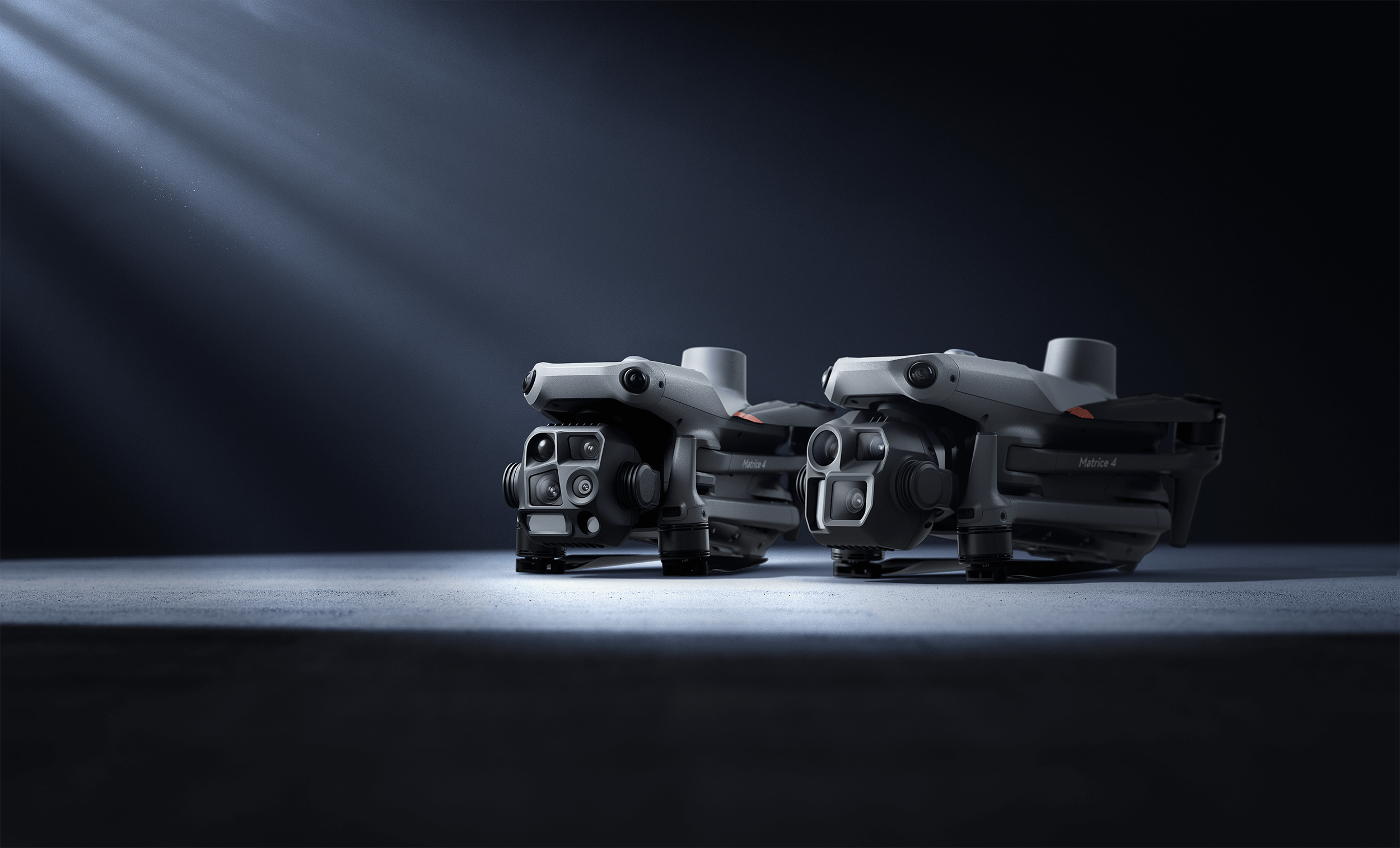
The DJI Matrice 4E operates at altitudes up to 6,000 meters ASL — sufficient for most ski resort developments. Key considerations:
- Reduced air density at altitude decreases propeller efficiency and flight time
- Plan for 25-35 minute flights at high altitude (vs 42 minutes at sea level)
- Battery performance declines in cold temperatures — keep batteries warm before flight
- Wind speeds increase with altitude — plan flights for calm conditions
Cold Weather Operations
Ski resort surveys often operate in cold conditions:
- Pre-warm batteries to 20°C+ before launch
- Carry spare batteries in insulated cases
- Monitor battery voltage closely during flight (cold reduces capacity)
- Land with higher reserve than warm-weather operations
Flight Planning at Scale
The Zincton project demonstrates the efficiency: 740 acres at 400 feet AGL in 120 minutes. Key parameters:
- Flight altitude: 120m (400 ft) AGL — terrain-following mode to maintain consistent altitude above the sloping ground
- Speed: 10-12 m/s
- Sidelap: 30-40%
- Point density: 50-100 pts/m² (sufficient for sub-5cm DTM accuracy)
Frequently Asked Questions
How much does a ski resort LiDAR survey cost? Survey costs vary with area and terrain complexity. A typical 500-1,000 acre resort survey costs $15,000-$30,000 including field work, processing, and engineering-grade deliverables. Larger areas benefit from lower per-acre costs.
When is the best time to survey a ski resort? For bare-earth terrain data: late summer or early fall after snowmelt, when the ground surface is fully exposed and deciduous trees have leaf cover (LiDAR still penetrates). For snow depth measurement: mid-winter during stable snow conditions.
Can LiDAR surveys be done in winter? Yes, with limitations. Winter surveys capture the snow surface, not the bare earth. This is valuable for snow depth measurement (when compared to a pre-season bare-earth survey) but not for terrain engineering. Battery performance and flight time are reduced in cold conditions.
What accuracy does ski resort terrain mapping achieve? With RTK/PPK positioning, LiDAR DTMs achieve ±3-5cm vertical accuracy on bare ground and ±5-10cm under moderate canopy. This meets the requirements for trail design, road engineering, and avalanche assessment.
Explore our ski resort terrain mapping services and LiDAR drone mapping applications guide. For technology comparisons, see photogrammetry vs LiDAR.
Ready to Start Your Project?
Get a free quote and consultation from our 3D scanning experts.
Get Your Free Quote

