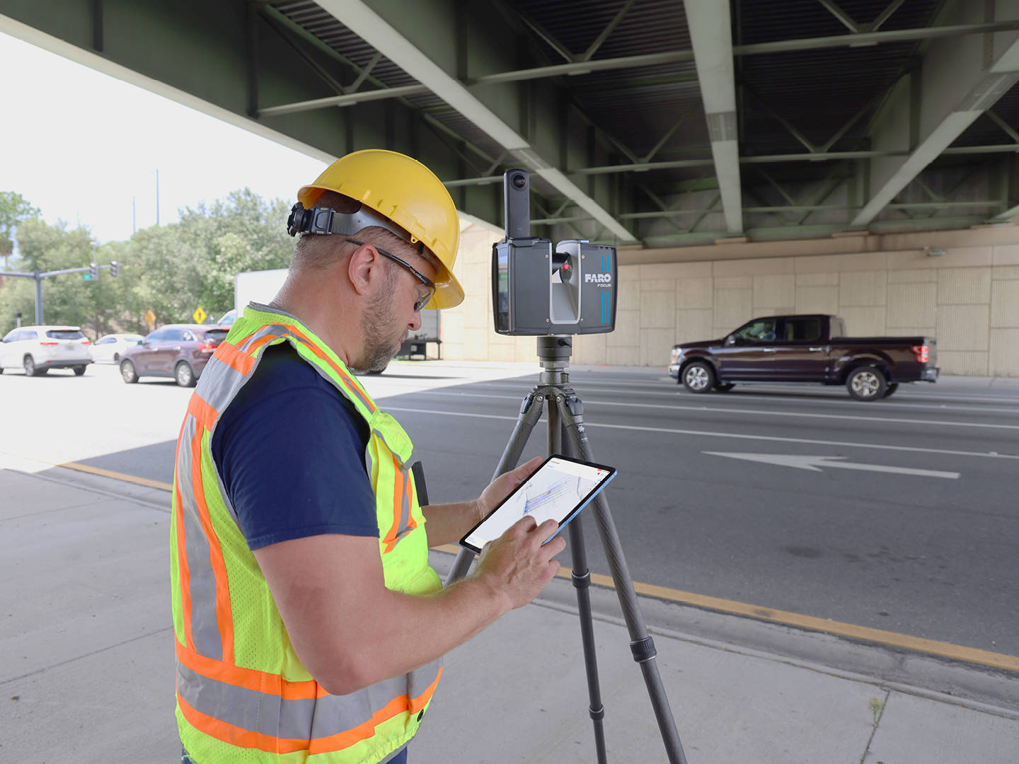
Matterport’s Pro3 camera includes a LiDAR sensor. Professional 3D laser scanners like the Trimble X12 also use LiDAR. So can Matterport replace dedicated laser scanners for architecture, engineering, and construction (AEC) work?
The short answer is no — not for measurement-critical applications. But the longer answer is more nuanced, because there are valid AEC use cases where Matterport is not just adequate but actually the better choice.
This guide provides an honest comparison of what each technology can and cannot do in AEC workflows.
Accuracy: The Core Difference
This is the fundamental distinction that determines which tool is appropriate:
| Specification | Matterport Pro3 | Trimble X12 | NavVis VLX3 |
|---|---|---|---|
| Accuracy | ~20mm @ 10m | ±2mm @ 20m | ±5mm (±3mm w/ control) |
| Range | 100m | 365m | Indoor focus |
| Point Density | Low-moderate | Very high (2.1M pts/sec) | Moderate |
| Scan Registration | Automatic (visual) | Survey-grade (GNSS) | SLAM + control |
| Scan Speed | ~20 sec/position | ~3 min/position | Walking speed |
| Output | 3D mesh + panoramas | Dense point cloud | Point cloud + panoramas |
The Matterport Pro3 achieves approximately 20mm accuracy at 10 meters — roughly 10 times less precise than the Trimble X12’s ±2mm at 20 meters. This difference is not a minor specification detail. It determines whether the data can be used for:
- Construction verification (is the built condition within tolerance?)
- Coordination (will this MEP system clear that structural beam?)
- Fabrication (can we manufacture components based on this data?)
- Legal boundary work (are these dimensions legally defensible?)
For any of these applications, Matterport’s accuracy is insufficient. Professional laser scanning is required.
Where Matterport Works in AEC
Despite its accuracy limitations, Matterport has legitimate and valuable roles in AEC workflows:
Progress Documentation
Regular Matterport scans (weekly or bi-weekly) create a visual timeline of construction progress. This is valuable for:
- Owner updates — project owners can remotely review progress without site visits
- Visual communication — the 3D tour format is more intuitive than photos or reports for non-technical stakeholders
- Dispute context — visual evidence of conditions at specific dates
- Marketing — documenting the construction process for the completed project’s marketing materials
For progress documentation, the relevant question is not “is the beam exactly 2.4 meters from the floor?” but rather “has the drywall been installed on the second floor?” Matterport answers the second question effectively.
Existing Conditions Visualization
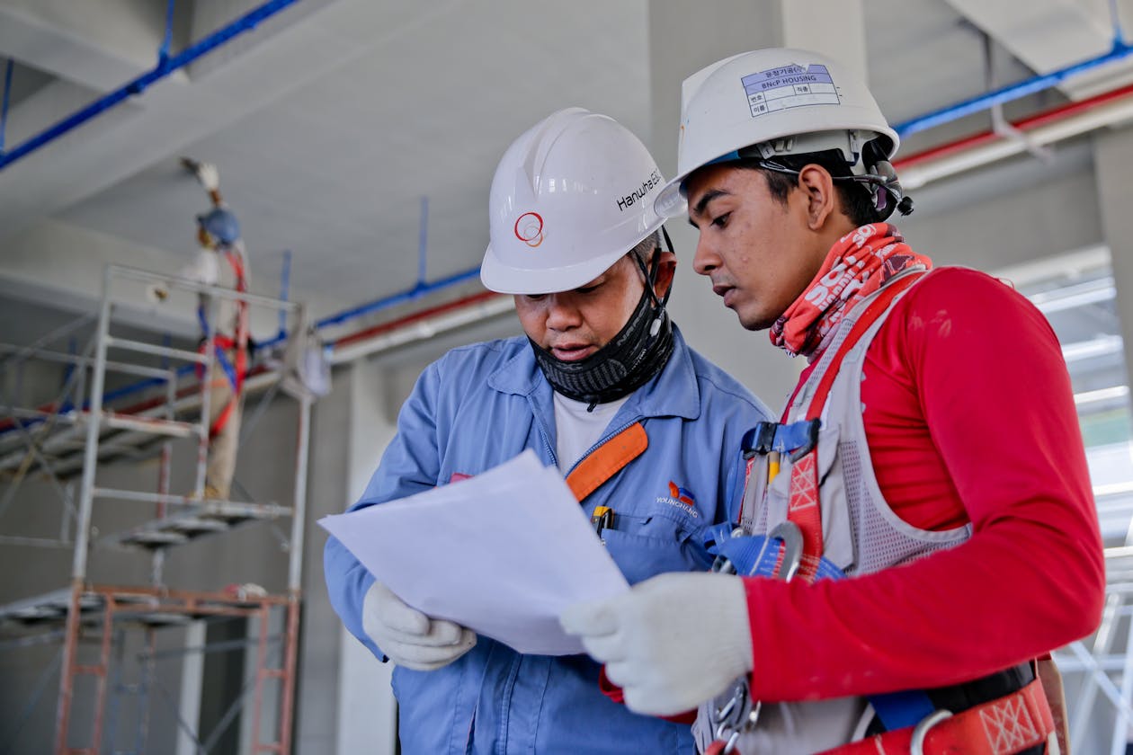
Before renovations, a Matterport scan of existing conditions gives architects and designers an intuitive 3D reference for design planning. They can virtually walk through the space, understand the layout and spatial relationships, and identify design opportunities — all without being on-site.
This is a visualization and communication tool, not a measurement tool. The design team still needs accurate as-built dimensions from professional laser scanning for their actual design work.
Client Presentations
AEC firms use Matterport tours to present completed projects to prospective clients. A 3D walkthrough of a completed construction project is far more compelling than a portfolio of 2D photographs. The interactive nature allows prospects to explore the space at their own pace and focus on details relevant to their own projects.
Facility Management Handover
After construction is complete, a Matterport tour of the finished facility serves as a navigable reference for facility managers, maintenance teams, and building operators. It helps new team members orient to the building and locate systems and equipment.
Where Matterport Falls Short in AEC
Measurement-Critical Applications
If anyone will measure from the data, build from it, or use it for coordination, Matterport is not the right tool:
Construction verification: Checking if concrete was poured to the correct elevation, if steel is placed at the specified location, or if MEP rough-in matches the design — all require millimeter-level accuracy.
Clash detection: Coordinating MEP systems in tight ceiling plenums requires knowing exact positions and dimensions. A 20mm margin of error can mean the difference between a system fitting and a costly rework.
Fabrication from scan data: If prefabricated components will be manufactured based on as-built scan data, accuracy must be within fabrication tolerances — typically ±3-5mm.
Point Cloud Deliverables
AEC workflows often require dense point clouds in standard formats (E57, RCP, LAS) for import into Autodesk Revit, AutoCAD, Navisworks, or other BIM/CAD platforms. While Matterport offers an E57 export as an add-on, the point cloud density and quality is significantly lower than what a professional laser scanner produces.
Professional point clouds from a Trimble X12 contain billions of points with sub-millimeter detail, enabling precise modeling, clash detection, and construction verification. Matterport’s point cloud is derived from its lower-resolution depth data and is suitable for reference but not for engineering work.
Large-Scale Scanning
The Matterport Pro3’s 100-meter range and point-by-point capture method make it impractical for:
- Large industrial facilities (50,000+ sq ft)
- Multi-story atriums and open structures
- Exterior building documentation
- Infrastructure (bridges, tunnels, highways)
For these applications, mobile SLAM scanners like the NavVis VLX3 or MLX (scanning at walking speed at 200,000-300,000 sq ft per day) or terrestrial scanners like the Trimble X12 (20,000-30,000 sq ft per day with survey-grade accuracy) are the appropriate tools.
The Best of Both Worlds: Combining Technologies
The most effective AEC documentation strategy uses both technologies for their respective strengths:
| Task | Best Tool | Why |
|---|---|---|
| As-built measurements | Trimble X12 | ±2mm accuracy, dense point cloud |
| Progress walkthrough | Matterport Pro3 | Fast, intuitive, stakeholder-friendly |
| Point cloud for BIM | Trimble X12 / NavVis | Engineering-grade data |
| Client presentation | Matterport Pro3 | Best interactive experience |
| Large facility capture | NavVis VLX3 | 200,000+ sqft/day |
| Facility management | Matterport Pro3 | Navigable reference |
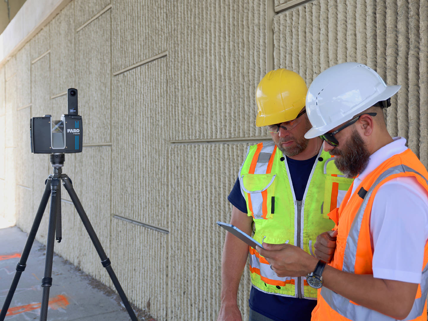
At THE FUTURE 3D, this is exactly the approach we take. We deploy the right technology for each specific need:
- Trimble X12 (±2mm) for survey-grade 3D laser scanning when accuracy is critical — delivering BIM-conversion-ready point cloud data in E57, RCP, LAS, and OBJ formats
- NavVis VLX3 for rapid large-facility capture at 200,000-300,000 sq ft per day
- Matterport Pro3 for virtual tours and visual documentation when the goal is communication and marketing
This multi-technology approach ensures each project component uses the most appropriate (and cost-effective) tool for its specific purpose.
Cost Comparison for AEC Projects
For a 15,000 sq ft commercial renovation project requiring both documentation and visualization:
| Deliverable | Matterport Only | Laser Scanning Only | Combined Approach |
|---|---|---|---|
| Visual tour for owner | Included | Not practical | Matterport |
| Point cloud for BIM | Low quality | Professional grade | Laser scanning |
| As-built measurements | ~20mm accuracy | ±2mm accuracy | Laser scanning |
| Progress updates | Practical (fast) | Slow and expensive | Matterport |
| Total coverage quality | Marketing grade | Engineering grade | Both |
The combined approach costs more than either technology alone but delivers the most complete documentation package. For most AEC projects, the additional cost of Matterport progress tours alongside professional laser scanning is modest relative to the total project value.

Questions to Ask Before Choosing
When deciding whether Matterport, professional scanning, or both are needed for an AEC project, answer these questions:
- Will anyone measure from this data? If yes, professional scanning is required.
- Will data feed into BIM/CAD workflows? If yes, professional scanning is required.
- Is the goal visual communication or technical documentation? Visual = Matterport. Technical = professional scanning.
- What is the accuracy tolerance? Under 10mm = professional scanning. Over 20mm = Matterport may suffice.
- Who is the audience? Non-technical stakeholders = Matterport. Engineers and designers = professional scanning.
- How large is the space? Under 10,000 sq ft, both are practical. Over 50,000 sq ft, consider mobile SLAM (NavVis) for the scanning component.
Key Takeaways
-
Matterport cannot replace professional LiDAR for measurement-critical AEC work. The 20mm accuracy is approximately 10x less precise than the ±2mm standard.
-
Matterport has valid AEC applications — progress documentation, stakeholder communication, client presentations, and facility management.
-
The best AEC documentation combines both technologies — professional scanning for engineering data and Matterport for visual communication.
-
Cost the right tool, not the cheapest tool. Using Matterport where professional scanning is needed can lead to rework costs that far exceed the savings.
-
Point cloud quality matters for BIM. Matterport’s E57 export is adequate for reference but insufficient for engineering-grade BIM modeling.
-
Consider your audience. Non-technical stakeholders respond better to Matterport’s intuitive 3D tours. Engineers need the dense point cloud data from professional scanners.
Need the right scanning technology for your AEC project? Contact THE FUTURE 3D for a consultation. We deploy Matterport, Trimble X12, and NavVis VLX3 based on your specific accuracy and documentation requirements.
Ready to Start Your Project?
Get a free quote and consultation from our 3D scanning experts.
Get Your Free Quote

