If you have spent any time around surveying, construction, or engineering projects in the last decade, you have almost certainly heard the term “LiDAR point cloud.” It gets used in project specifications, RFPs, and planning meetings across the AEC industry — but what exactly is it, and why does it matter for the work you do?
This guide covers everything AEC professionals need to know about LiDAR point clouds: how they are created, what makes them different from photogrammetry point clouds, where they are used, and what it costs to get one for your project.
What Is a LiDAR Point Cloud?
A LiDAR point cloud is a collection of millions — or billions — of individual data points, each representing a precise location in three-dimensional space. These points are generated by a LiDAR (Light Detection and Ranging) sensor, which fires rapid laser pulses at surrounding surfaces and measures the time it takes for each pulse to return.
Every point in the cloud carries at minimum an X, Y, and Z coordinate. Most also include intensity values (the strength of the reflected laser signal), timestamps, return number (relevant for vegetation penetration), and classification codes (ground, building, vegetation, etc.). When captured with an integrated camera, RGB color values can be assigned to each point as well.
The result is a spatially accurate 3D representation of the scanned environment — whether that is a building interior, a construction site, a corridor of highway, or an entire forested watershed. Unlike a photograph, which captures only a 2D projection, a point cloud preserves the measured geometry of every visible surface.
A single terrestrial LiDAR scan position can generate 10-20 million points. A full building scan might contain 500 million to several billion points. An aerial LiDAR survey of a 100-acre site can produce tens of billions of points depending on point density settings.
How LiDAR Creates Point Clouds
LiDAR sensors all work on the same fundamental principle — time-of-flight measurement of laser pulses — but the platform they are mounted on determines the scale, resolution, and application of the resulting point cloud.
Terrestrial LiDAR (Ground-Based Scanning)
Terrestrial laser scanners like the Trimble X12, FARO Focus Premium, and Leica RTC360 are mounted on tripods and positioned at multiple locations throughout a building or site. Each scan position captures a 360-degree point cloud of its surroundings, typically measuring surfaces up to 100-350 meters away with accuracy in the 1-4 millimeter range.
The individual scan positions are then registered (aligned) into a single unified point cloud using survey targets, natural feature matching, or SLAM algorithms. For building interiors, a typical project requires one scan position for every 200-400 square feet of floor area — meaning a 50,000 square foot building might need 125-250 scan positions.
Terrestrial LiDAR excels at capturing building interiors, structural details, MEP systems, and any environment where millimeter-level accuracy matters. It is the standard for as-built documentation, renovation planning, and Scan-to-BIM workflows.

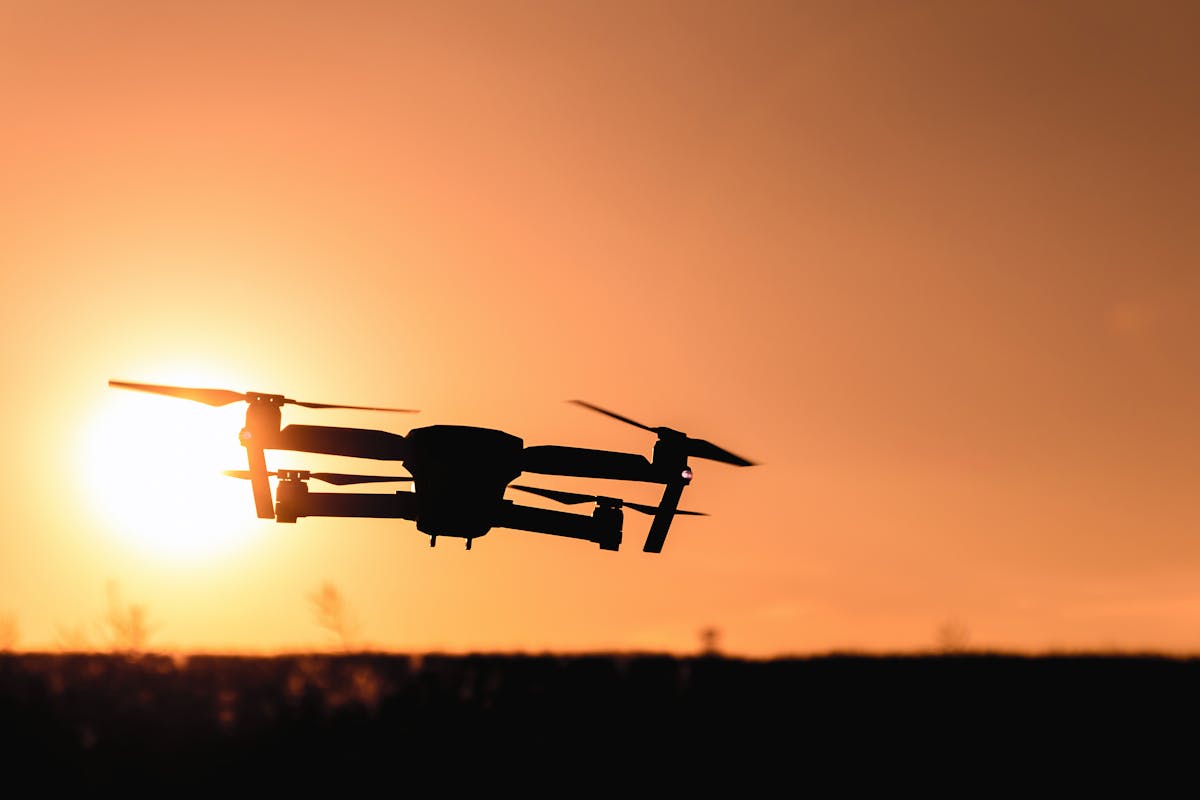
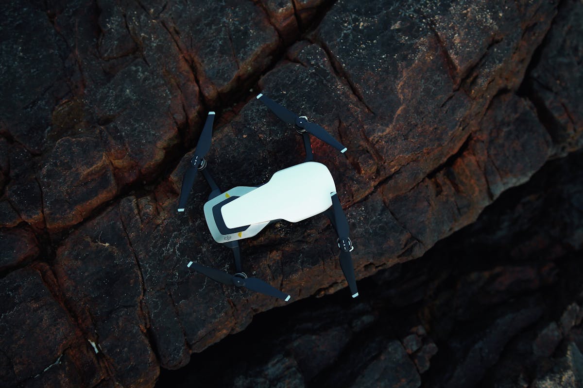
Aerial LiDAR (Drone-Mounted and Manned Aircraft)
Aerial LiDAR sensors — such as the DJI Zenmuse L2, Riegl miniVUX, or YellowScan Mapper+ — are mounted on drones or fixed-wing aircraft and capture point clouds from above. The sensor fires laser pulses toward the ground while the aircraft follows a planned flight path, and a GPS/IMU system records the precise position and orientation of the sensor at every moment.
Aerial LiDAR achieves vertical accuracy of 1-3 centimeters and horizontal accuracy of 3-5 centimeters when combined with ground control points or RTK/PPK positioning. Point densities typically range from 10 to 100+ points per square meter, depending on altitude and flight speed.
One of aerial LiDAR’s unique advantages is vegetation penetration. Because the laser pulse can pass through gaps in tree canopy and register multiple returns (first return from leaves, last return from ground), aerial LiDAR can map bare-earth terrain beneath dense vegetation — something photogrammetry cannot do.
Aerial LiDAR is the standard for topographic surveying, corridor mapping (roads, pipelines, power lines), flood modeling, and large-area site documentation. Our drone photogrammetry service page covers more on aerial data capture methods.
Mobile LiDAR (SLAM-Based Scanning)
Mobile LiDAR systems like the NavVis VLX3 and Leica BLK2GO use SLAM (Simultaneous Localization and Mapping) technology to capture point clouds while the operator walks through a space. These systems sacrifice some accuracy (typically 5-10mm versus 1-4mm for tripod-based scanners) but dramatically increase capture speed — up to 200,000-300,000 square feet per day compared to 20,000-30,000 for tripod scanners.
Mobile LiDAR is ideal for rapid documentation of large facilities, warehouses, retail spaces, and campus environments where speed matters more than sub-millimeter precision.
LiDAR Point Cloud vs Photogrammetry Point Cloud
Both LiDAR and photogrammetry produce point clouds, but they use fundamentally different capture methods and have distinct strengths.
| Feature | LiDAR Point Cloud | Photogrammetry Point Cloud |
|---|---|---|
| Capture method | Active laser measurement (time-of-flight) | Passive camera imagery (triangulation from overlapping photos) |
| Accuracy | 1-4mm (terrestrial), 1-3cm (aerial) | 1-3cm (aerial with GCPs), lower in complex geometry |
| Vegetation penetration | Yes — multiple returns capture ground beneath canopy | No — only captures visible surfaces |
| Light dependency | None — works in complete darkness | Requires ambient light; affected by shadows and reflections |
| Texture/color | Limited without integrated camera | Naturally photorealistic (built from photos) |
| Indoor performance | Excellent | Challenging — requires many overlapping photos and good lighting |
| Cost | Higher equipment and mobilization cost | Lower equipment cost, higher processing time |
| Best for | Buildings, interiors, vegetated terrain, infrastructure | Exposed sites, facades, large open areas, visual documentation |
In practice, many projects use both technologies together. A construction site might be mapped with aerial photogrammetry for visual orthomosaics and stockpile volumes, while the building itself is scanned with terrestrial LiDAR for millimeter-accurate as-built data.
Applications in AEC
LiDAR point clouds serve as foundational reference data across architecture, engineering, and construction workflows.
Construction Documentation and Verification
Point clouds captured during construction provide a measured record of what was actually built versus what was designed. By overlaying the point cloud against the design model, project teams can identify deviations early — before they become expensive rework. This verification process is especially critical for MEP coordination, structural steel placement, and concrete formwork.
Surveying and Topography
Aerial LiDAR is the gold standard for topographic surveys over large areas. The resulting point clouds can be processed into digital terrain models (DTM), digital surface models (DSM), contour maps, and volumetric calculations. For sites with heavy vegetation, LiDAR’s ability to penetrate canopy and map bare-earth terrain makes it indispensable.
Renovation and As-Built Documentation
Before any renovation project begins, the existing conditions need to be accurately documented. A LiDAR point cloud captures the building as it actually exists today — including all the modifications, settling, and undocumented changes that have occurred since original construction. This data feeds directly into as-built documentation workflows and provides the foundation for design development.
Infrastructure Inspection
Bridges, highways, rail corridors, dams, and utility networks can all be documented with LiDAR point clouds for condition assessment, clearance verification, and maintenance planning. The measured 3D geometry allows engineers to detect deformation, settlement, and wear that manual inspection methods might miss.
Historic Preservation
Heritage structures require documentation methods that do not contact or disturb the building. LiDAR scanning captures every surface detail — from ornamental stonework to structural timber framing — without any physical interaction. The resulting point cloud becomes a permanent digital record of the structure’s condition at a specific point in time.
LiDAR Equipment Used in AEC
The equipment used to generate LiDAR point clouds varies significantly depending on the project requirements.
Terrestrial Laser Scanners
- Trimble X12 — Survey-grade scanner with 2mm accuracy at 20m. Industry workhorse for commercial and industrial scanning.
- FARO Focus Premium — Long-range scanner (up to 350m) with IP54 weather rating and built-in HDR camera.
- Leica RTC360 — Compact scanner with automated target-based registration and 360-degree imaging.
- Trimble X9 — Mid-range option balancing portability and accuracy.
Aerial LiDAR Payloads
- DJI Zenmuse L2 — Integrated LiDAR + RTK payload for DJI Matrice series drones. Point rate of 240,000 points/second, 3cm accuracy.
- Riegl miniVUX — Survey-grade airborne LiDAR for manned and unmanned aircraft.
- YellowScan Mapper+ — Lightweight LiDAR payload optimized for drone surveying over large areas.
Mobile SLAM Scanners
- NavVis VLX3 — Wearable mobile mapper for rapid indoor scanning at 200,000+ sqft/day.
- Leica BLK2GO — Handheld SLAM scanner for fast interior capture and documentation.
Data Formats and Processing
LiDAR point clouds are stored and exchanged in several industry-standard formats.
- E57 — Open standard format supported by virtually all point cloud software. Widely used for interoperability between scanning, processing, and modeling platforms.
- LAS/LAZ — The standard format for airborne LiDAR data, widely supported in GIS and surveying software. LAZ is the compressed version.
- RCP/RCS — Autodesk formats optimized for use in Revit, AutoCAD, and ReCap. RCP is the project file; RCS files contain the actual point data.
- PLY/PTS/XYZ — Simple text-based formats listing raw coordinate data. Useful for data exchange but less efficient for large datasets.
Processing a raw LiDAR point cloud typically involves:
- Registration — Aligning individual scan positions into a unified coordinate system
- Cleaning — Removing noise, artifacts, and unwanted objects (people, temporary equipment)
- Classification — Tagging points by type (ground, building, vegetation, utility) — especially important for aerial data
- Coordinate referencing — Tying the point cloud to a real-world coordinate system (state plane, UTM, local grid)
- Export — Delivering the processed point cloud in the formats required by the project team
Software commonly used for LiDAR processing includes Trimble RealWorks, FARO SCENE, Leica Cyclone, Autodesk ReCap, DJI Terra, and open-source options like CloudCompare.
Cost Considerations
The cost of acquiring a LiDAR point cloud depends on the type of scanning, project size, and required deliverables. For a detailed breakdown, see our 3D scanning cost guide.
Terrestrial LiDAR Scanning
- Single space or small area: $1,000 - $2,000
- Residential building: $2,000 - $6,000
- Commercial building: $3,000 - $15,000
- Industrial facility: $10,000 - $100,000+
- Per square foot (commercial): $0.20 - $0.70/sqft
Aerial LiDAR Surveying
- Small sites (up to 10 acres): $3,000 - $10,000
- Large areas (10-50 acres): $3,000 - $10,000+
- Per acre (500+ acres): $150 - $300/acre
- Detailed surveys: $400 - $500/acre
Pricing varies by location based on local market conditions, regulations, and project logistics. Contact us for a project-specific quote.
What Affects Cost
Several factors drive the final price of a LiDAR point cloud project:
- Project size and complexity — More scan positions or larger flight areas mean more time on site
- Required accuracy — Survey-grade accuracy requires more rigorous field procedures and processing
- Deliverable formats — Basic point cloud delivery is faster; classified, georeferenced datasets with QA reports take more processing time
- Site access — Difficult access conditions (occupied buildings, active construction, restricted airspace) add logistical complexity
- Geographic location — Rates in major metros like NYC or San Francisco differ from smaller markets
Frequently Asked Questions
How many points are in a typical LiDAR point cloud?
It depends on the project. A single room scanned with a terrestrial laser scanner might contain 20-50 million points. A full commercial building can contain 500 million to several billion points. An aerial survey of a 100-acre site might produce 10-50 billion points depending on density settings. The file sizes can range from a few hundred megabytes to several hundred gigabytes.
Can a LiDAR point cloud be used in Revit?
Yes. LiDAR point clouds in RCP/RCS format can be imported directly into Revit as reference data. The point cloud appears in the model space, and designers or BIM modelers can trace over it to create intelligent BIM elements. E57 files can be converted to RCP using Autodesk ReCap. For more on how point clouds and BIM models work together, see our guide on point clouds vs BIM models.
What is the difference between LiDAR and laser scanning?
LiDAR (Light Detection and Ranging) is the underlying technology — it uses laser pulses to measure distances. “Laser scanning” and “3D scanning” are broader terms that describe the application of LiDAR technology to capture spatial data. In common industry usage, the terms are largely interchangeable. Our guide on how 3D scanning works covers the technology in more detail.
How long does it take to capture a LiDAR point cloud?
Terrestrial scanning of a commercial building typically takes 1-5 days of field work depending on building size and complexity. Aerial LiDAR can cover 100+ acres in a single flight session (30-60 minutes). Point cloud processing and delivery of cleaned, registered data typically adds 1-2 business days for standard projects.
Does LiDAR work outdoors and indoors?
Yes. Terrestrial LiDAR scanners work in both environments. They excel indoors because they are unaffected by lighting conditions — they generate their own laser light. Outdoors, they perform well but can be affected by rain, fog, or highly reflective surfaces. Aerial LiDAR is designed exclusively for outdoor use and performs well in most weather conditions except heavy rain.
Need a LiDAR point cloud for your next project? Get a quote from THE FUTURE 3D or learn more about our 3D laser scanning services.
Ready to Start Your Project?
Get a free quote and consultation from our 3D scanning experts.
Get Your Free Quote

