DJI Terra V5.0+ is the first mainstream drone mapping software to integrate Gaussian Splatting (3DGS) — a 3D reconstruction technique that produces photorealistic, real-time renderable scenes from standard drone photographs. This guide covers everything professionals need to know: licensing, workflow, performance, output formats, and how DJI Terra fits within the broader GS ecosystem.
What Is Gaussian Splatting?
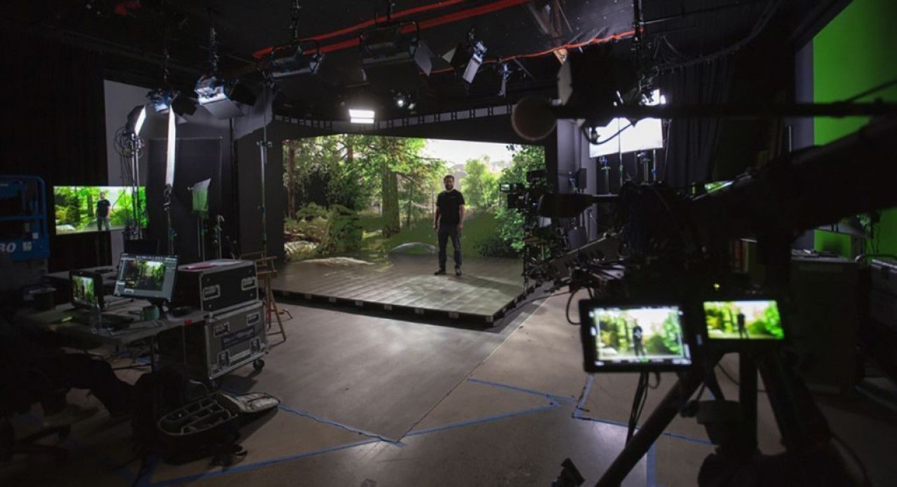
Gaussian Splatting, introduced by Kerbl et al. at SIGGRAPH 2023, represents 3D scenes as millions of overlapping Gaussian ellipsoids rather than triangulated meshes or neural network weights. The result is photorealistic visual quality at real-time rendering speeds (100+ FPS) — a combination that neither mesh photogrammetry nor NeRF (Neural Radiance Fields) achieves simultaneously.
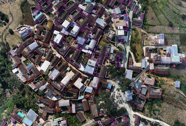
DJI Terra V5.0+ brought GS processing to the drone photogrammetry workflow. Operators fly standard aerial missions with DJI enterprise drones, import the imagery into Terra, and produce GS reconstructions alongside traditional mesh and point cloud outputs.
DJI Terra Licensing for GS
Gaussian Splatting requires the DJI Terra Flagship license — the Standard and Pro tiers do not include GS reconstruction.
Flagship license pricing:
- Permanent license: approximately $2,800–$4,400
- Annual subscription: approximately $2,800–$3,080/year
- Education and Cluster licenses also support GS
The Flagship license unlocks GS alongside all other Terra capabilities: mesh reconstruction, point cloud generation, orthomosaic mapping, and volumetric analysis. If you already use Terra Flagship for photogrammetry, GS processing is included at no additional cost.
Drone-to-GS Workflow: Step by Step
1. Flight Planning & Capture
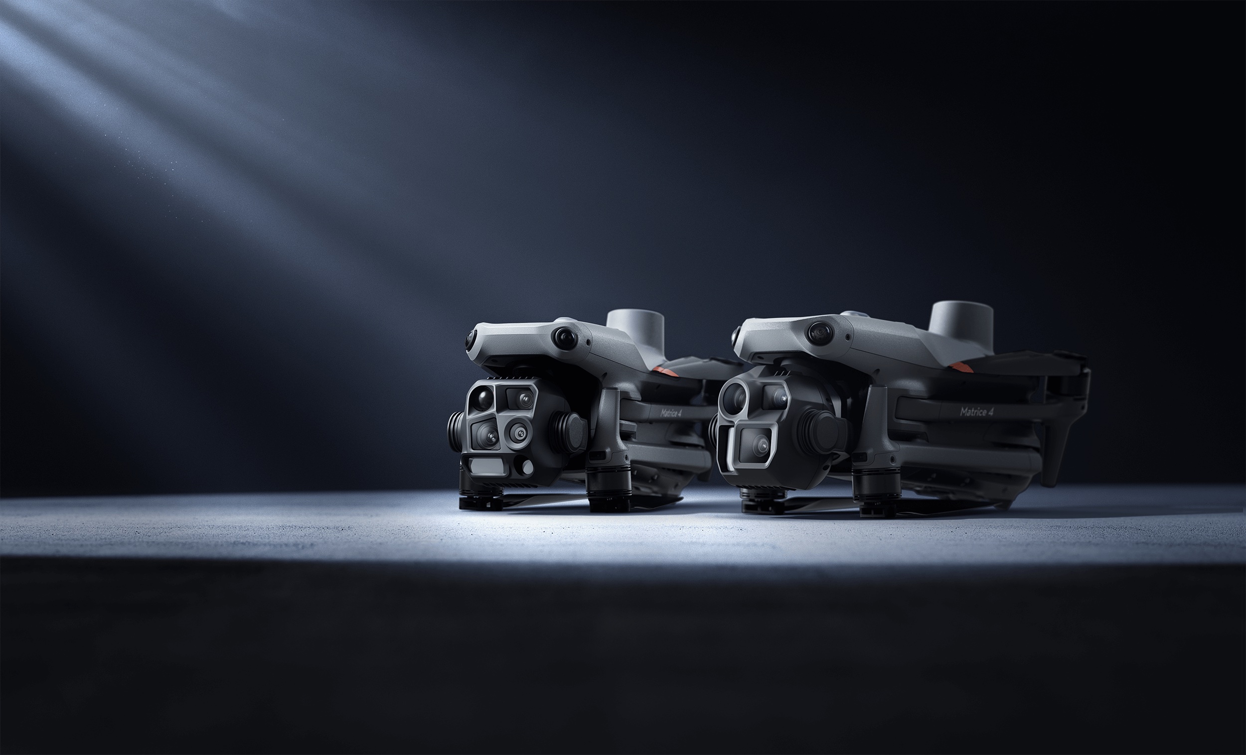
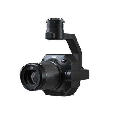
Use any DJI enterprise drone with a compatible camera. THE FUTURE 3D uses the DJI Matrice 4E with Zenmuse P1 (45MP full-frame mechanical shutter) for maximum GS quality. Key capture parameters:
- Overlap: 80%+ front overlap, 70%+ side overlap (more overlap = better GS quality)
- Flight pattern: Oblique grid or double-grid with multiple camera angles
- Altitude: Lower altitude = more detail, but more images to process
- RTK positioning: Centimeter-accurate georeferencing for the output
2. Import & GS Reconstruction
Import images into DJI Terra V5.0+ Flagship. Select the Gaussian Splatting reconstruction option (separate from mesh reconstruction). Terra runs Structure from Motion (SfM) first, then GS optimization.
Processing performance: approximately 500 images per hour on recommended hardware. A 2,000-image building capture processes in roughly 4 hours.
Hardware requirements:
- GPU: NVIDIA RTX 8GB VRAM minimum, 24GB recommended (RTX 4090)
- RAM: 64GB minimum, 128GB recommended for large datasets
- Storage: NVMe SSD for processing scratch space
3. Output & Export
DJI Terra produces three GS-specific output formats:
| Format | Use Case | Viewer |
|---|---|---|
| 3DTiles | Web viewing with LOD streaming | Cesium, Google Earth |
| PLY (Gaussian Splats) | Engine import (UE5, Unity, Blender) | SplatForge, SuperSplat |
| GeoTIFF | Georeferenced 2D projection | GIS platforms |
3DTiles is the strongest delivery format — it streams through Cesium web viewers with level-of-detail management, meaning even large city-scale GS scenes load progressively in a browser.
GS Accuracy: What to Expect
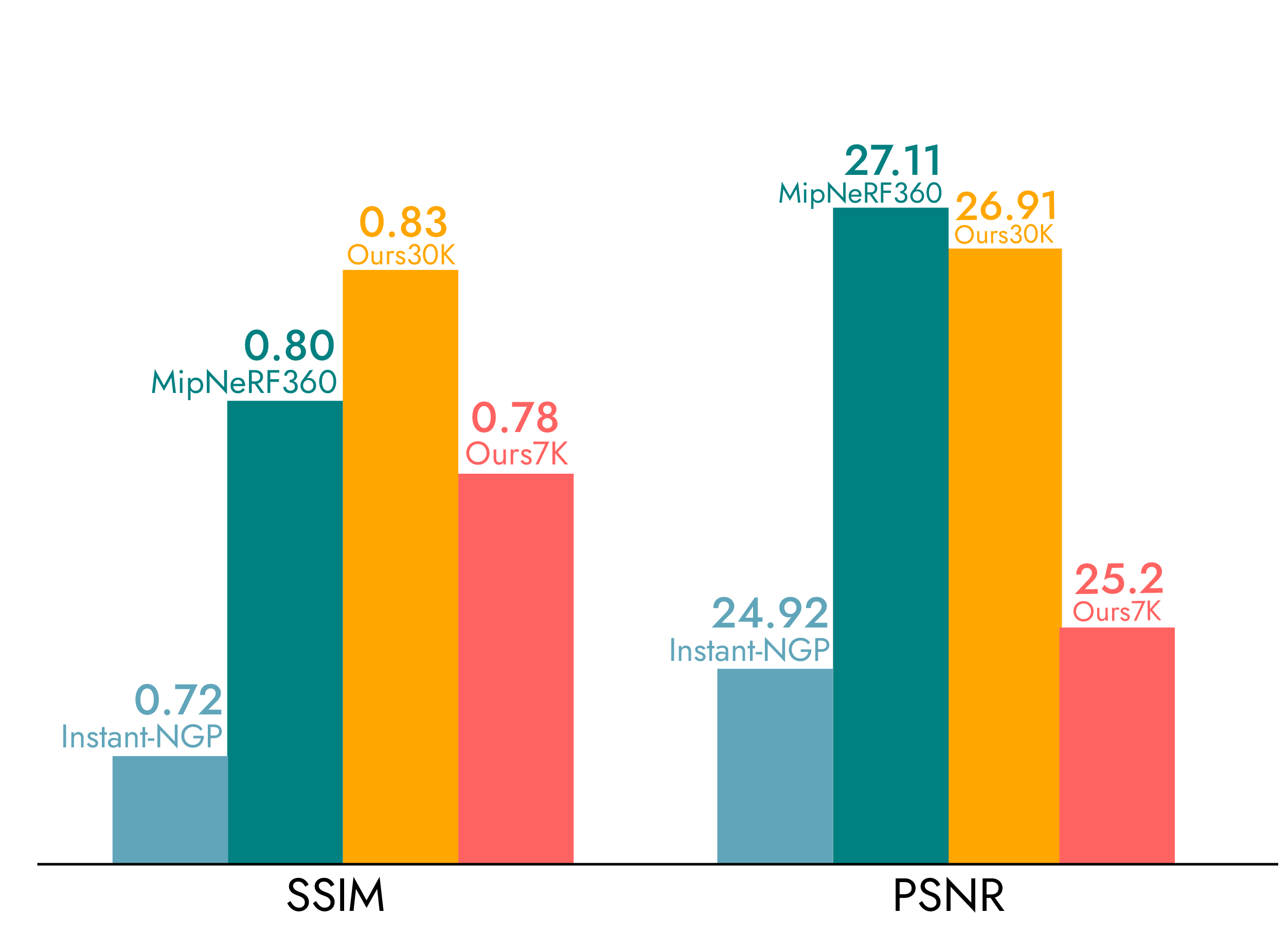
Independent testing (plainconcepts.com, 2024) found a mean geometric error of 7.82cm (standard deviation 11.49cm) when comparing GS reconstructions to ground-truth LiDAR data.
This makes GS visualization-grade, not survey-grade. GS excels at:
- Photorealistic building documentation and marketing
- Client presentations and stakeholder engagement
- Virtual production environments (100+ FPS rendering)
- Public-facing heritage and urban planning models
For engineering measurement, dimensional analysis, or BIM workflows, GS must be paired with LiDAR (e.g., Trimble X12 at ±1mm @ 10m / ±2mm @ 20m). THE FUTURE 3D delivers both from a single site visit — GS for visual quality, LiDAR for dimensional precision.
The Broader GS Ecosystem
DJI Terra is not the only GS processing tool. Understanding the ecosystem helps professionals choose the right combination:
Capture tools:
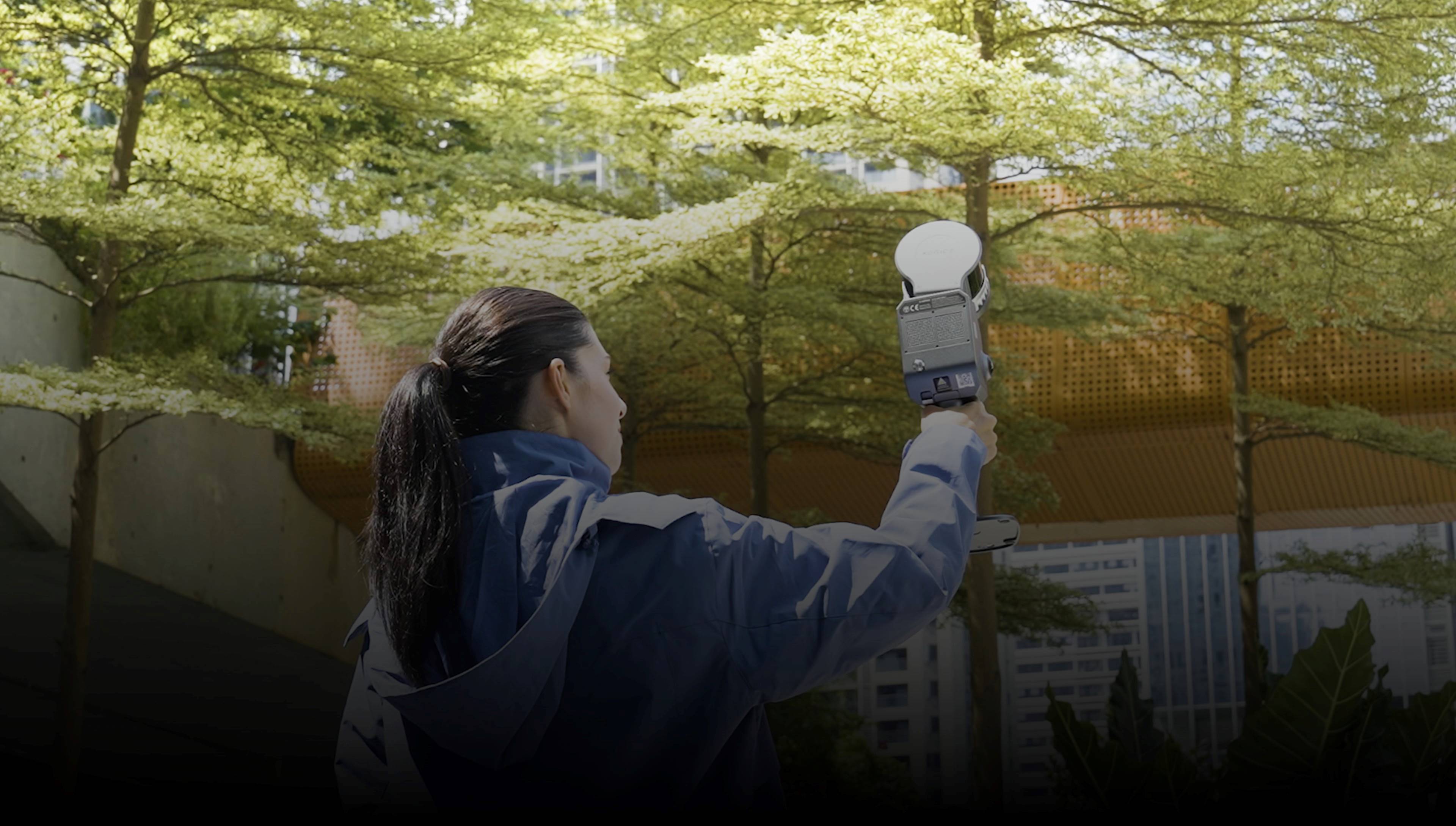
- Xgrids L2 Pro — 32-channel LiDAR handheld scanner (640K pts/sec, ±1-2cm). LCC software produces GS directly from handheld scans with Unity, Unreal Engine, and WebGL SDKs. Best for ground-level interior/walkthrough capture.
- Polycam — iOS/Android app for smartphone GS capture using device LiDAR. Free tier available. Good for quick site references before professional capture.
- Luma AI — Free iOS app and cloud processing for creating Gaussian Splats from casual photos. Consumer-grade but useful for proof-of-concept.
Editing tools:
- SuperSplat — Open-source web-based GS editor (by PlayCanvas). Clean artifacts, crop boundaries, merge captures. No installation required.
- SplatForge — Blender add-on for real-time editing of 16M+ Gaussian Splats. Color grading, scene composition, and export for VFX and game engine pipelines.
- PostShot — Post-processing optimization for GS file sizes and streaming performance.
Alternative processing:
- Nerfstudio — Open-source NeRF toolkit. Alternative neural rendering approach for scenes where GS may produce artifacts (reflective surfaces, transparent materials).
Delivery:
- Cesium — Open-source 3DTiles platform. The standard for web-based GS viewing with LOD streaming.
DJI Terra GS vs Standard Photogrammetry
| Feature | Standard Photogrammetry | DJI Terra GS |
|---|---|---|
| Visual quality | Good (textured mesh) | Photorealistic (splats) |
| Rendering speed | Requires pre-rendering | 100+ FPS real-time |
| Geometric accuracy | 1–3cm (with GCPs) | 7.82cm mean error |
| CAD/BIM support | Yes (E57, RCP, OBJ) | No (PLY splats only) |
| Web delivery | Requires conversion | Native 3DTiles/Cesium |
| Processing time | ~500 images/hour | ~500 images/hour |
| License required | Standard ($999+) | Flagship ($2,800+) |
Bottom line: GS is not a replacement for photogrammetry — it is an additional output for projects where visual quality and real-time rendering matter more than geometric precision. Professional services like THE FUTURE 3D deliver both from the same drone capture.
Supported Drones
DJI Terra GS works with all DJI enterprise drones that Terra supports:
- DJI Matrice 4E (M4E) — recommended for GS with Zenmuse P1
- DJI Matrice 350 RTK
- DJI Mavic 3 Enterprise
- Any DJI drone with compatible imaging payload
For optimal GS quality, the Zenmuse P1 (45MP full-frame) provides the highest resolution input imagery. The Zenmuse L3 (LiDAR + RGB) enables LiDAR-fused GS reconstruction in Terra V5.1+.
V5.1 Update: LiDAR Fusion
DJI Terra V5.1 added the ability to fuse Zenmuse L3 LiDAR point clouds with visible light imagery during GS reconstruction. This improves geometric accuracy in areas where photogrammetry alone struggles — dense vegetation, deep shadows, and complex overhangs. The L3 provides 14MP RGB plus LiDAR depth data in a single flight.
When to Hire a Professional GS Service
DIY GS capture via Polycam or Luma AI works for quick references and proof-of-concept. But professional projects require:
- FAA Part 107 licensed drone operators for commercial aerial capture
- DJI Terra Flagship license ($2,800–$4,400) — not cost-effective for occasional use
- Workstation-grade hardware (RTX 4090 + 128GB RAM for large projects)
- Quality control: SuperSplat and SplatForge scene editing, artifact removal, boundary cropping
- Hybrid delivery: GS + LiDAR from the same mobilization
THE FUTURE 3D provides professional GS services starting at $2,250 per project, with GS processing priced at 1.5× standard photogrammetry rates. We use the DJI M4E + Zenmuse P1 for aerial capture and Trimble X12 (±1mm @ 10m / ±2mm @ 20m) for ground-level LiDAR. The Xgrids L2 Pro is in our evaluation pipeline for handheld GS walkthrough capture.
Output Formats and Standards
GS outputs are rapidly being standardized:
- OpenUSD (Universal Scene Description) — Pixar’s scene format now supports GS primitives, enabling cross-platform exchange between DCC tools
- glTF 2.0 — Khronos Group’s 3D format is adding GS extension support for web and mobile delivery
- 3DTiles — OGC standard for streaming large 3D datasets, natively supported by DJI Terra GS output
These standards mean GS scenes captured today will remain accessible and interoperable as the ecosystem matures.
Frequently Asked Questions
Does DJI Terra Standard support Gaussian Splatting?
No. GS requires the Flagship license ($2,800–$4,400 permanent). Standard and Pro tiers produce mesh photogrammetry and point clouds but not Gaussian Splats.
What is the maximum image count for DJI Terra GS?
DJI Terra handles up to 30,000 images for city-scale GS reconstruction. Larger datasets require Cluster license for distributed processing.
Can I use GS output in Revit or AutoCAD?
No. GS PLY files cannot be imported into CAD/BIM software. For BIM workflows, use the point cloud outputs (E57, RCP) from the same Terra project. The Xgrids L2 Pro scanner includes an LCC for Revit plugin that bridges some GS-to-BIM workflows.
How does GS processing time compare to mesh?
Roughly equivalent — approximately 500 images per hour for both GS and mesh reconstruction on recommended hardware. GS is a separate processing pass, so running both doubles the total processing time.
Is Gaussian Splatting the same as NeRF?
No. NeRF encodes scenes in neural network weights (implicit representation), while GS uses explicit Gaussian ellipsoids. GS renders significantly faster (100+ FPS vs seconds per frame for NeRF) and is easier to edit. GS has largely superseded NeRF for real-time visualization applications.
Professional Gaussian Splatting services are available from THE FUTURE 3D — among the first US providers offering hybrid GS + LiDAR workflows. Get a quote or explore our GS Cost Estimator.
Ready to Start Your Project?
Get a free quote and consultation from our 3D scanning experts.
Get Your Free Quote