Aerial Campus Tours: Drone Photography for Schools
Ground-level virtual tours excel at showcasing interior spaces. But for campuses with sprawling grounds, athletic fields, and multiple buildings, an aerial perspective tells a story that interior tours alone cannot.
Drone photography and videography provide bird’s-eye views of your campus that create an immediate emotional impact — the kind of “wow” moment that makes families imagine their child there.
Why Aerial Campus Photography Matters
Show the Full Campus
A ground-level tour shows one room at a time. An aerial view reveals the entire campus — buildings, fields, courtyards, parking, surrounding neighborhood — in a single frame. This context helps families understand the scale and setting of your institution.
Create Marketing Assets
Aerial footage serves multiple purposes:
- Website hero videos — Cinematic flyover for your homepage
- Social media content — Drone shots consistently outperform ground-level photos
- Virtual open house intros — Start with an aerial flyover, then dive into interior tours
- Printed materials — Aerial campus photos for brochures and viewbooks
Campus Planning
Beyond marketing, aerial photography supports facility planning:
- Roof condition assessment
- Parking and traffic flow analysis
- Campus landscaping documentation
- Construction progress monitoring

What We Capture
Photography
- High-resolution aerial photos from multiple angles and altitudes
- Campus overview shots
- Building-specific angles
- Athletic facility documentation
Videography
- Cinematic flyover footage
- Slow reveal approaches
- Orbiting shots around key buildings
- Smooth transitions from aerial to ground-level
Photogrammetry
- 3D terrain models of campus grounds
- Orthomosaic maps (accurate overhead views)
- Elevation data for planning
Equipment and Safety
We use professional DJI drone systems with certified FAA Part 107 pilots. Our standard platforms include the DJI Mavic 3 Enterprise for high-resolution photography and cinematic video, and the DJI Matrice 350 RTK paired with photogrammetry payloads for accurate 3D campus models and orthomosaic maps. All flights follow FAA regulations for operating near schools and populated areas:
- FAA Part 107 licensed pilots — Commercial certification required for all drone operators
- Airspace authorization — Many schools and universities are located near airports or within controlled airspace. We obtain LAANC (Low Altitude Authorization and Notification Capability) authorization in advance for any flights in controlled airspace zones. This is a common requirement for campuses near municipal or regional airports.
- Insurance — Full liability coverage for drone operations
- School coordination — Flights scheduled during low-activity periods
- Noise considerations — Modern DJI drones operate at reasonable noise levels, but we still coordinate with the school to notify nearby residents and staff about scheduled flight times. For campuses in residential neighborhoods, we keep flight durations focused and efficient to minimize any disturbance.
Pricing
| Service | Price |
|---|---|
| Aerial photography (campus overview) | $1,500+ |
| Aerial videography (cinematic flyover) | $1,500+ |
| Combined photo + video package | $2,500+ |
| Full campus photogrammetry (3D model) | $3,000+ |
Aerial services are often combined with interior Matterport scanning for a complete campus documentation package.
Best Time to Fly
Timing matters for aerial campus photography — both the season and the time of day significantly affect the quality of the final product.
Seasonal considerations: Spring and fall offer the best campus aesthetics for most regions. Spring brings green lawns, blooming trees, and a campus that looks fresh and inviting. Fall provides dramatic autumn colors that photograph beautifully from above — red and gold tree canopies framing campus buildings create some of the most compelling aerial shots possible. Avoid mid-summer when campus may appear empty, parking lots are bare, and lawns may be dry or brown depending on the region. Winter can work for campuses in mild climates, but snow-covered campuses in northern states require careful planning around weather windows.
Time of day: Golden hour — the first hour after sunrise and the last hour before sunset — provides the most cinematic lighting for aerial photography and video. Long shadows add depth and dimension to buildings. Harsh midday sun flattens the image and creates strong shadows that obscure architectural details. For campuses with east-west oriented buildings, morning light often works best; for campuses with prominent south-facing facades, late afternoon provides the most flattering illumination.
Calendar coordination: Coordinate drone flights with the school calendar. Avoid standardized testing weeks when administrators are focused on logistics and noise sensitivity is heightened. Commencement and homecoming weekends can provide opportunities to capture the campus with attractive event staging in place, but flight scheduling must account for increased foot traffic and event logistics.
Privacy and Consent
Privacy is a critical consideration for drone operations at schools, and responsible operators plan for it from the start.
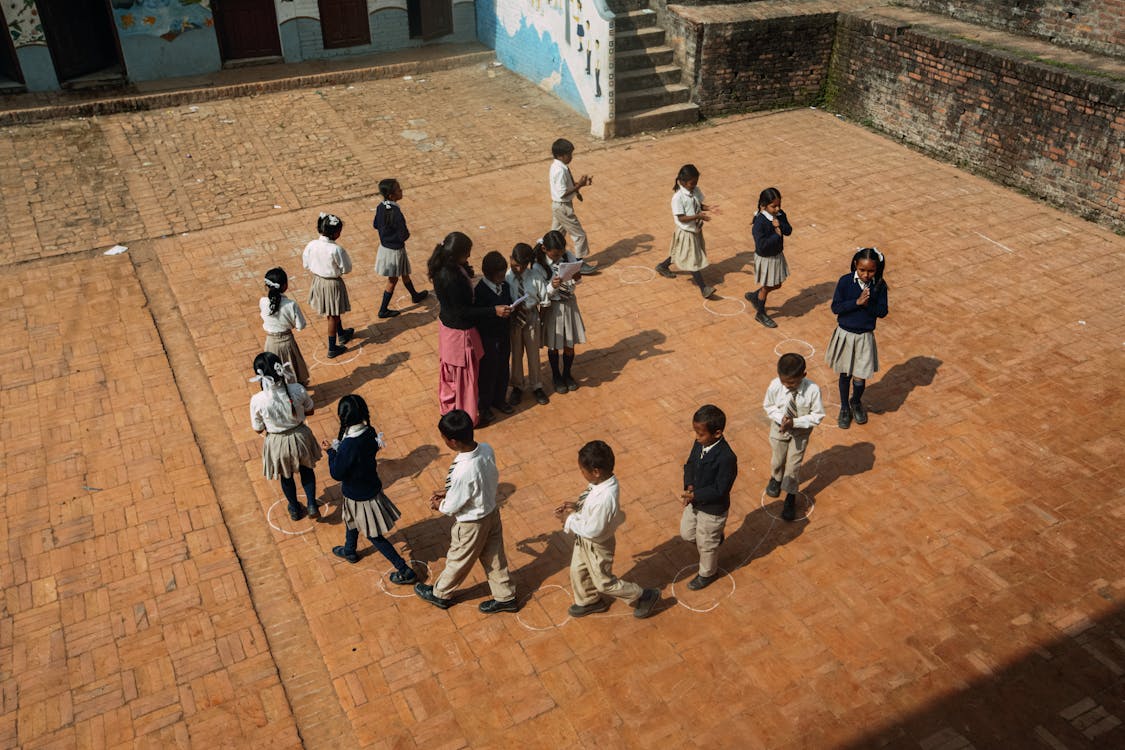
Drone flights should be scheduled to avoid capturing identifiable individuals, particularly students. The most straightforward approach is to fly during weekends, school breaks, or early morning hours before students and staff arrive on campus. This eliminates privacy concerns entirely and also produces cleaner footage without random pedestrians in the frame.
FERPA (Family Educational Rights and Privacy Act) applies to K-12 schools and universities that receive federal funding. While aerial photography from standard drone altitudes rarely captures identifiable student details, schools should be aware that FERPA obligations extend to any media that could identify students in educational settings. Flying when campus is empty sidesteps this issue completely.
Schools should notify parents and staff in advance of scheduled drone operations. A simple email or announcement — “Professional aerial photography will take place on Saturday, March 22 from 7:00 AM to 10:00 AM” — is sufficient. This prevents concerned calls from parents or neighbors who see a drone operating over the campus. Some schools include drone photography notification in their annual media consent forms, which provides standing authorization for future flights.
For schools near residential areas, notifying adjacent homeowners is a courtesy that prevents complaints and builds goodwill. A brief note explaining the purpose and duration of the flight is usually all that is needed.
Combining Aerial and Ground-Level Tours
The most comprehensive campus experience packages aerial drone footage with Matterport interior 3D scans. This combination provides both the big picture and the detail — aerial footage establishes geographic context and campus scale, while interior virtual tours let viewers explore individual buildings room by room.
The experience works like this: a prospective family starts with a cinematic aerial flyover of the entire campus. They see the layout — academic buildings clustered around a central quad, athletic facilities to the south, dormitories to the east, the surrounding neighborhood and transportation access. This aerial perspective answers questions about campus size, setting, and proximity to the surrounding community.
From the aerial view, the family can then “enter” individual buildings via embedded Matterport virtual tours. They click on the science building and walk through the chemistry lab. They click on the dormitory and explore a typical student room. The transition from aerial to ground-level creates a seamless experience that mimics an actual campus visit — arriving from above, then walking inside.
This combination is especially effective for large campuses with five or more buildings. A ground-level tour alone cannot convey the spatial relationships between buildings — how far is the dorm from the dining hall? Is the library close to the science building? These questions are instantly answered by the aerial view. And an aerial view alone cannot show the quality of interior spaces — the well-equipped lab, the comfortable common room, the modern library. Together, they tell the complete story.
Getting Started
Ready to showcase your campus from above?
- Contact us — Request a quote including aerial services
- Site assessment — We evaluate airspace, flight paths, and logistics
- Schedule the flight — Weather-dependent, typically 2-4 hours
- Receive your content — Edited photos and video within 7-10 business days
Related resources:
Ready to Start Your Project?
Get a free quote and consultation from our 3D scanning experts.
Get Your Free Quote

