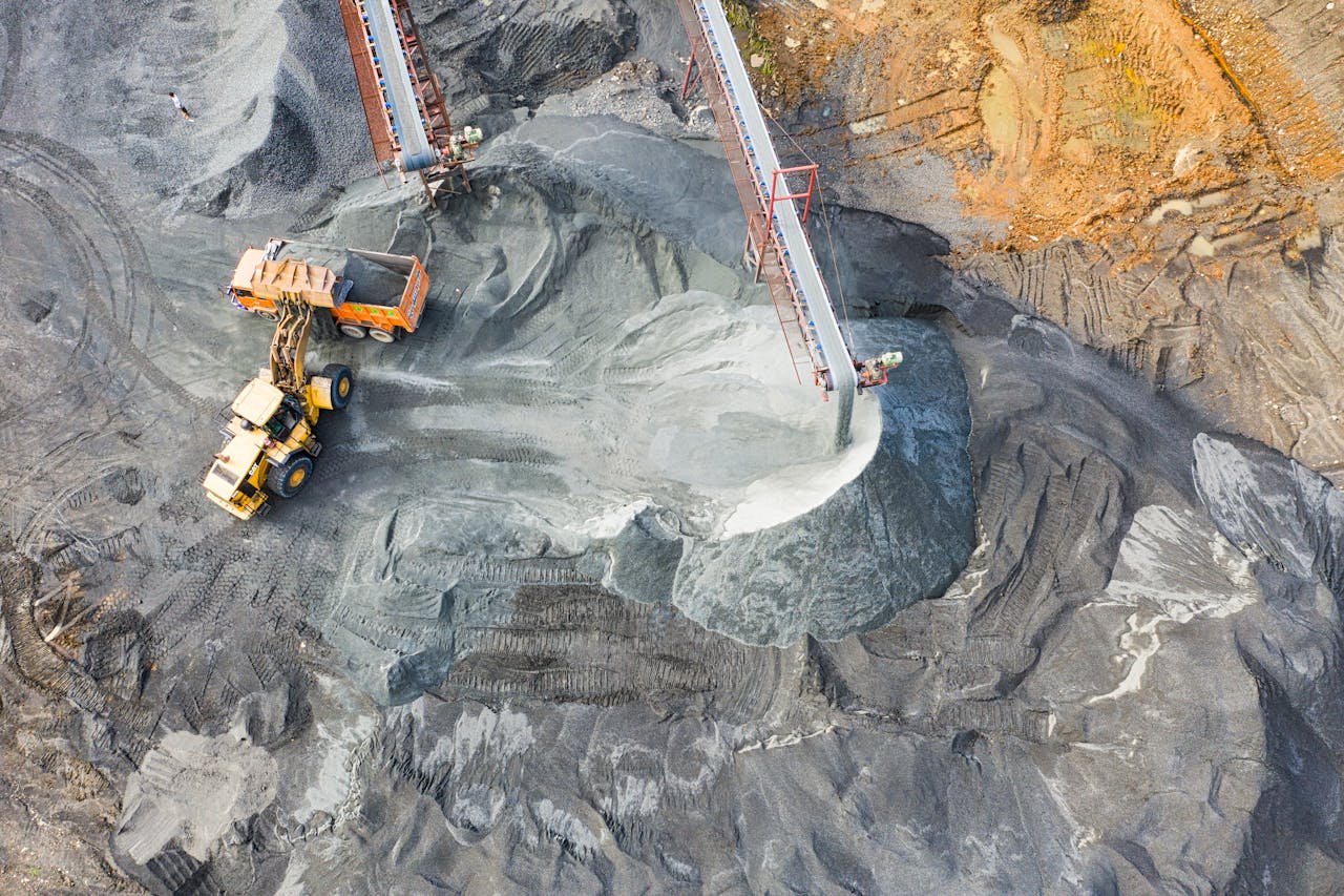
Mining and quarry operations need regular volumetric surveys to track material inventory, verify extraction quantities, and maintain regulatory compliance. Traditional ground-based surveys require shutting down active areas while survey crews physically walk the stockpiles — creating operational disruptions that cost thousands of dollars per hour in lost production.
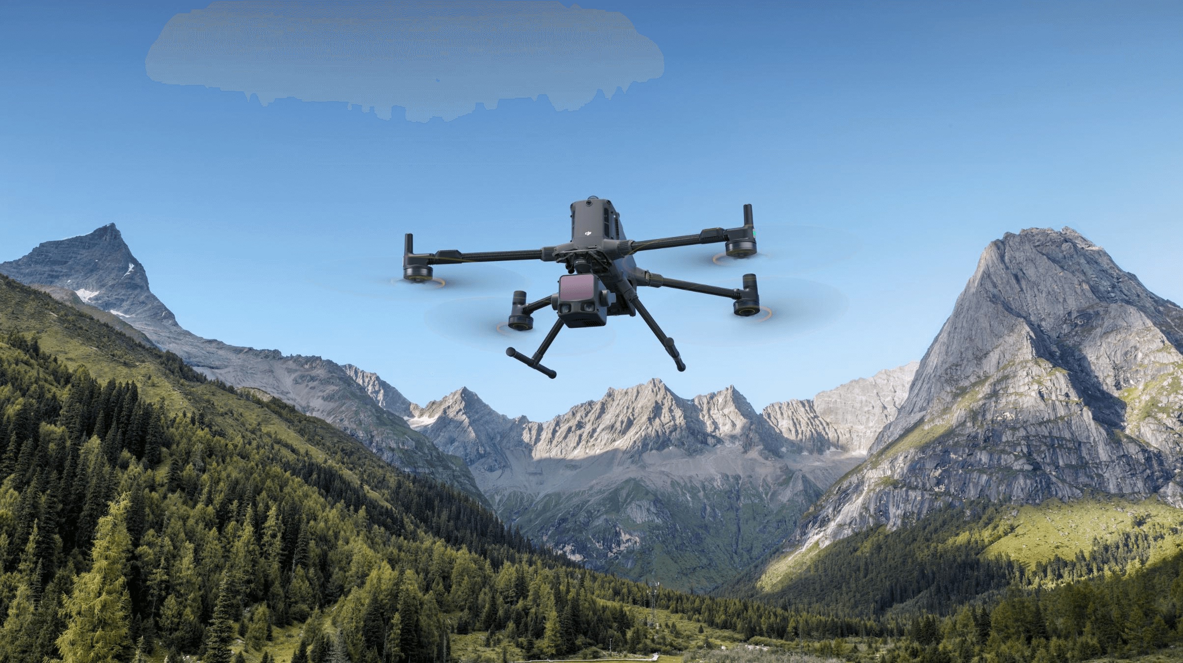
Drone LiDAR surveys eliminate these shutdowns entirely. The drone operates at 60-100 meters above the site, capturing complete volumetric data while extraction, hauling, and processing operations continue uninterrupted below.
Why Mining Operations Need Drone LiDAR
The Shutdown Problem
Traditional stockpile measurement requires:
- Halting all vehicle movement in the survey area (safety requirement)
- Survey crew physically accessing each stockpile (climbing equipment, safety gear)
- 4-8 hours minimum per stockpile group (setup, measurement, data collection)
- Full operational restart after survey completion
For an active pit producing $5,000-$20,000+ per hour in material value, every hour of shutdown directly reduces revenue.
The Drone LiDAR Solution
A drone LiDAR survey captures:
- Complete stockpile geometry from above, no ground access required
- Entire site coverage in 30-90 minutes of flight time
- Data while operations continue (no shutdown, no lost production)
- Centimeter-accurate surface models for volume calculation
Stockpile Measurement with 1-3% Accuracy
Drone LiDAR stockpile measurement achieves 1-3% volumetric accuracy — meeting or exceeding the requirements for inventory reconciliation, regulatory reporting, and financial accounting.
How Volume Is Calculated
- LiDAR survey captures the stockpile surface: The Zenmuse L3 payload fires 240,000 laser pulses per second, creating a dense 3D point cloud of every stockpile surface
- Ground surface is established: The natural ground surface beneath and around the stockpile is captured or interpolated from surrounding terrain
- Volume is computed: The difference between the stockpile surface and the ground surface gives the material volume in cubic meters or cubic yards
- Density conversion: Volume is converted to tonnage using the material’s bulk density (measured or standard value for the material type)
Accuracy Factors
| Factor | Impact | How to Optimize |
|---|---|---|
| RTK/PPK positioning | ±2-5cm vertical | Always use RTK base station |
| Point density | Higher density = better surface definition | Fly at 60-80m, moderate speed |
| Ground surface definition | Critical for base surface accuracy | Include clear ground areas in flight |
| Material density assumption | Directly affects tonnage calculation | Use measured density, not estimates |
| Stockpile shape complexity | Irregular shapes need higher density | Multiple flight angles for complex piles |
Weekly and Monthly Volume Tracking
The real power of drone LiDAR for mining is not a single measurement — it is the ability to survey frequently at low cost, creating a time series of volumetric data.
Pre/Post-Blast Models
Surveying before and after blasting operations captures:
- Exact volume of material fragmented
- Blast pattern effectiveness (did the blast achieve the designed fragmentation?)
- Overbreak and underbreak measurement
- Muck pile geometry for loading equipment planning
Overburden Tracking
Monitoring overburden removal tracks every cubic meter from the pit face to the dump:
- Volume removed per shift/day/week
- Equipment productivity (cubic meters per hour per machine)
- Contractor payment verification (volume-based contracts)
- Permit compliance (total material moved vs permitted limits)
Inventory Reconciliation
Monthly volumetric surveys reconcile:
- Material extracted (pit survey)
- Material in stockpile (stockpile survey)
- Material shipped (weigh bridge records)
- Discrepancies that indicate measurement error, material loss, or unrecorded movement
LiDAR vs Photogrammetry for Mining
Both LiDAR and photogrammetry produce volumetric data from drone platforms, but their performance differs in mining environments:
Where LiDAR Excels
- Shadowed faces: Vertical pit walls and deep stockpile sides create shadows where photogrammetry struggles to reconstruct geometry. LiDAR is unaffected by shadows.
- Homogeneous textures: Uniform material surfaces (coal, dark aggregate, wet surfaces) lack the visual texture that photogrammetry needs for feature matching. LiDAR measures distance regardless of surface texture.
- Dusty conditions: Active mining creates airborne dust that reduces photographic quality. LiDAR pulses penetrate moderate dust conditions.
- Low-light timing: LiDAR operates effectively in early morning, late evening, or overcast conditions when photographic lighting is poor.
Where Photogrammetry Excels
- Visual documentation: Photogrammetry produces visual products (orthomosaics, textured models) that are useful for reporting and communication
- Color classification: Material types can sometimes be distinguished by color in photogrammetric imagery
- Cost: Photogrammetry payloads are less expensive than LiDAR payloads
Recommendation for Mining
For stockpile measurement where accuracy is the priority, LiDAR is the preferred technology. For projects requiring both volumetric accuracy and visual documentation, combine LiDAR (Zenmuse L3) and photogrammetry (Zenmuse P1) flights on the same platform.
Equipment for Mine-Site Surveying
| Component | Specification | Purpose |
|---|---|---|
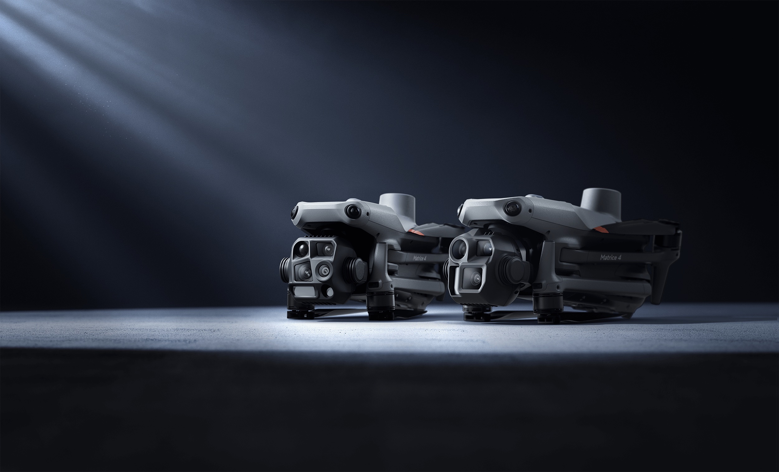
| DJI Matrice 4E | 42-min flight, IP55, RTK | Platform |
| Zenmuse L3 | 5 returns, 250m range | LiDAR payload |
| Zenmuse P1 | 45MP full-frame | Photogrammetry (optional) |
| RTK base station | Centimeter positioning | Survey-grade accuracy |
| DJI Terra / processing software | Volume computation | Deliverable generation |
Flight Planning for Mining
| Parameter | Typical Value |
|---|---|
| Flight altitude | 60-100m AGL |
| Speed | 8-12 m/s |
| Overlap | 30-50% sidelap |
| Point density | 100-200 pts/m² |
| Coverage rate | 0.5-1.5 km² per flight |
| Stockpile survey (10 piles) | 30-60 minutes |
Cost Savings: Eliminating Third-Party Survey Shutdowns
The financial case for drone LiDAR in mining is driven by two factors: lower survey cost and eliminated shutdown cost.
| Cost Category | Traditional Survey | Drone LiDAR |
|---|---|---|
| Survey crew (per day) | $2,000-$4,000 | $3,000-$5,000 |
| Shutdown cost (per survey) | $5,000-$40,000+ | $0 |
| Survey frequency (practical) | Monthly or quarterly | Weekly or bi-weekly |
| Data density | 500-2,000 points per pile | 50,000-500,000 points per pile |
| Annual cost (monthly surveys) | $84,000-$528,000 | $36,000-$60,000 |
The shutdown cost alone often exceeds the entire cost of the drone survey. For operations where shutdown costs are $10,000+ per event, drone LiDAR pays for itself on the first survey.
Regulatory Compliance Documentation
Mining operations face regulatory requirements for:
- Volume reporting: Periodic reports on material extracted and remaining reserves
- Environmental monitoring: Pit progression documentation, reclamation progress
- Safety documentation: Pit wall slope monitoring, bench geometry verification
- Financial reporting: Inventory valuation based on verified volumes
Drone LiDAR surveys produce the documented, repeatable, and auditable measurements that regulatory agencies require. Each survey is georeferenced, timestamped, and produced with a documented methodology — providing a defensible record.
Frequently Asked Questions
How accurate are drone stockpile measurements? With RTK/PPK positioning, drone LiDAR achieves 1-3% volumetric accuracy for well-defined stockpiles. This meets or exceeds requirements for inventory reconciliation and regulatory reporting.
Can drones fly during active mining operations? Yes. Drone surveys operate at 60-100m altitude, well above ground-level equipment and personnel. Standard safety protocols include notification of site personnel, defined flight zones, and maintenance of minimum separation from active equipment. See our mining drone LiDAR services.
How often should stockpiles be surveyed? Weekly surveys provide optimal inventory tracking. Monthly surveys are sufficient for regulatory compliance. The low cost of drone surveys makes frequent measurement practical.
What about dust interference with LiDAR? Moderate dust conditions do not significantly affect LiDAR accuracy. Heavy dust (visibility below 100m) may reduce effective range. Survey timing can be planned around high-dust activities like blasting.
Explore our mining and quarry drone LiDAR services and niche project cost estimator. For technical context, read about drone LiDAR surveying.
Ready to Start Your Project?
Get a free quote and consultation from our 3D scanning experts.
Get Your Free Quote

