Port and harbor infrastructure operates in two domains simultaneously — above the waterline and below it. Wharves, cranes, warehouses, and loading equipment exist in the air. Channel depths, berth profiles, and seabed conditions exist underwater. Comprehensive port documentation requires technology that captures both.
THE FUTURE 3D combines terrestrial laser scanning, drone LiDAR, and bathymetric echo sounder technology — including the BathyLogger BL200 single-beam echo sounder — to deliver complete above-water and below-water documentation of marine infrastructure.
Why Ports Need Combined Bathymetric and Topographic Data
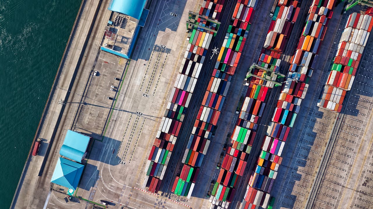
Ports are among the most infrastructure-dense environments in the built world. Within a single facility:
- Above water: Container cranes, gantry systems, warehouse structures, conveyor systems, road and rail infrastructure, administrative buildings, security perimeters
- At the waterline: Wharf faces, fender systems, bollard positions, loading ramps, floating equipment
- Below water: Channel depths, berth profiles, seabed conditions, subsea pipelines, scour patterns around structures
Design and maintenance decisions at ports almost always span the water boundary. A wharf expansion project needs both the topographic survey of the land side and the bathymetric survey of the berth side. A dredging project needs the channel profile (below water) and the disposal site assessment (above water). A structural assessment of a wharf needs the visible structure (above water) and the foundation condition (below water).
Above-Water Infrastructure Scanning
Port topographic scanning uses the same terrestrial and aerial methods as other industrial facilities, with specific adaptations for the marine environment.
Wharf and Pier Documentation
Terrestrial laser scanning captures:
- Wharf deck geometry (surface elevations, drainage grades, loading areas)
- Crane rail positions and gauge measurements
- Bollard positions and load ratings
- Fender system geometry (critical for berth planning)
- Edge conditions (copings, curbs, safety barriers)
- Utility connections (power, water, fuel bunkering points)
Crane and Equipment Scanning
Port cranes are among the largest and most complex structures in any scanning project:
- Ship-to-shore (STS) gantry cranes: 80-140 meters tall, spanning 50-65 meters
- Rail-mounted gantry (RMG) cranes: Automated stacking equipment in container yards
- Mobile harbor cranes: Tracked or wheeled cranes with variable positions
Scanning these structures requires multiple scan positions and aerial LiDAR to capture the full geometry from base to boom tip.
Warehouse and Storage Documentation
Port warehouses and container storage areas:
- Building dimensions and structural grid
- Door openings and loading dock positions
- Internal clearances for container handling equipment
- Roof condition (from aerial LiDAR)
- Ground surface condition and drainage
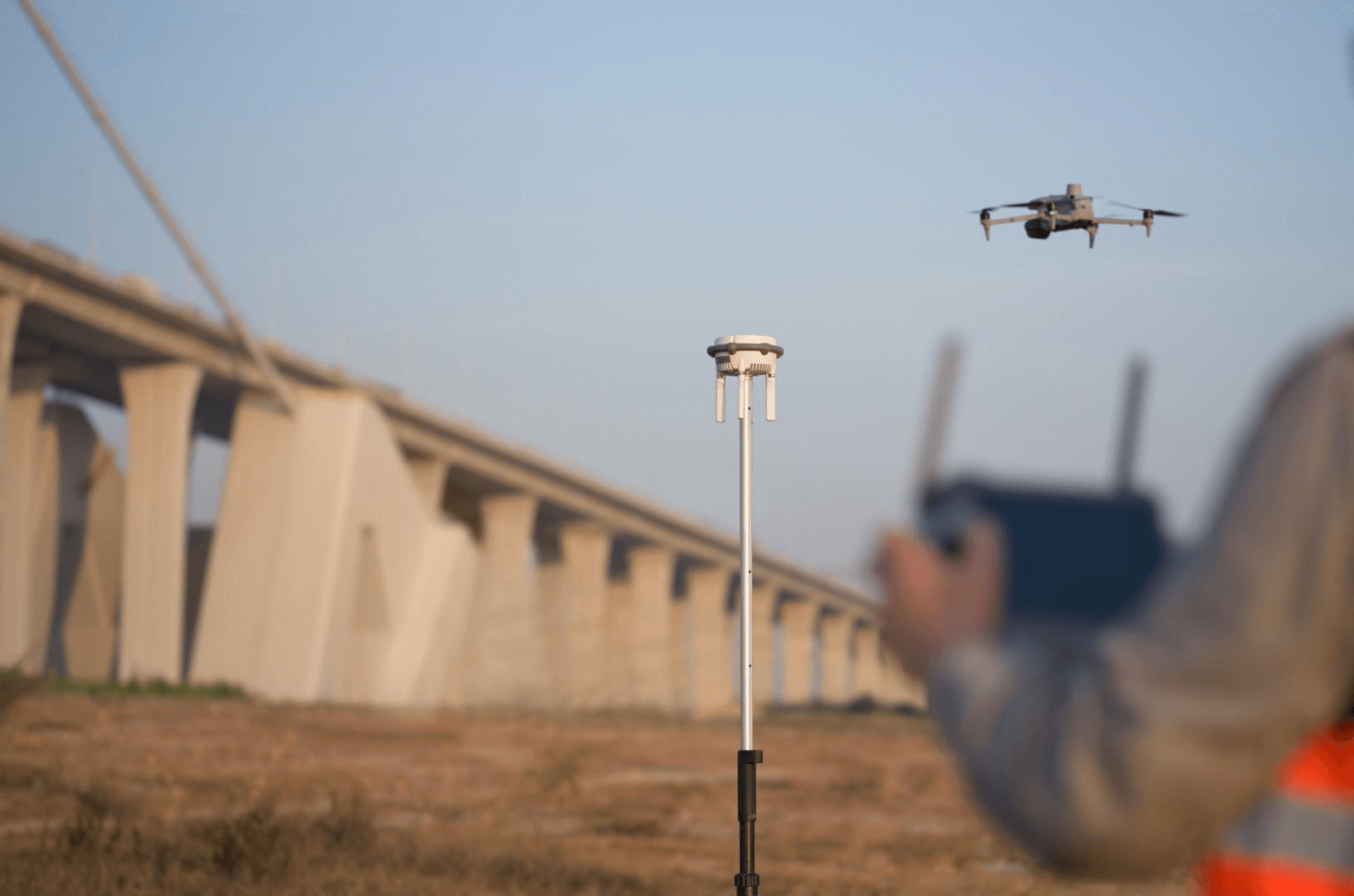
Drone LiDAR for Site-Wide Coverage
The DJI Matrice 4E with Zenmuse L3 captures the complete port site:
- Georeferenced point cloud of all surface infrastructure
- Road and rail alignment documentation
- Security perimeter mapping
- Stormwater drainage patterns across the facility
Below-Water Bathymetric Surveying
Bathymetric surveying captures the underwater portion of the port environment. This data is essential for:
- Channel depth verification (do vessel drafts clear the seabed?)
- Berth depth documentation (can the target vessels safely berth?)
- Dredging volume calculations (how much material must be removed?)
- Scour monitoring around wharf structures (is the seabed eroding around foundations?)
- Subsea infrastructure mapping (pipelines, cables, outfalls)
The BathyLogger BL200: Our Bathymetric Equipment
THE FUTURE 3D’s bathymetric capability includes the BathyLogger BL200 single-beam echo sounder — a precision depth measurement instrument designed for survey-grade underwater profiling.
BathyLogger BL200 Specifications:
| Parameter | Specification |
|---|---|
| Frequency | 200 kHz |
| Depth range | 0.4 - 100 meters |
| Depth accuracy | 0.01m ± 0.1% of depth |
| Beam width | 9° (narrow beam for focused measurement) |
| Output | NMEA DBT (depth below transducer) |
| Battery | 8000 mAh, 24-hour continuous operation |
| Construction | Stainless steel, marine grade |
| Certification | CE, IEC 60945 (marine equipment standard) |
| Compatibility | Trimble, Leica, Topcon, Hypack, Hydromagic |
| Origin | Made in USA |
The BL200’s narrow 9° beam provides focused depth measurement directly below the transducer, minimizing the footprint on the seabed for precise depth profiling. At 100 meters depth, the measurement accuracy is ±0.11 meters (0.01m base + 0.1% of 100m).
How Bathymetric Data Is Collected
The echo sounder is mounted on a survey vessel (boat, kayak, or autonomous surface vehicle) and towed along systematic survey lines:
- Survey line planning: Parallel lines spaced at 5-25 meter intervals across the survey area
- Position recording: RTK GPS records the horizontal position of each depth measurement
- Depth recording: The echo sounder measures depth at 10-50 Hz (10-50 measurements per second)
- Tide correction: Depth measurements are corrected for tidal variation to produce chart datum elevations
- Processing: Position and depth data are combined to create a bathymetric surface model
Integration with Topographic Data
The bathymetric surface model is integrated with the above-water LiDAR data using common survey control points at the waterline. The result is a seamless 3D model that extends from the upland areas, across the wharf deck, down the wharf face, and across the seabed — a complete cross-section of the port infrastructure.
Dredging Volume Calculations
Dredging is one of the largest capital expenditures at ports. Volume calculations directly determine project costs:
Pre-Dredge Survey
A bathymetric survey before dredging establishes the existing seabed elevation across the dredge area. Combined with the target depth (the design channel or berth depth), the difference gives the volume of material to be removed.
Post-Dredge Survey
After dredging is complete, a second bathymetric survey verifies:
- The design depth was achieved everywhere
- No high spots remain that restrict vessel drafts
- Dredge slopes meet the specified angle
- The actual volume removed matches the contractor’s claimed volume
Volume Accuracy
With RTK positioning and the BL200’s ±0.01m depth accuracy, dredging volume calculations typically achieve 3-5% accuracy — sufficient for contractor payment verification and regulatory reporting.
Maintenance Dredging Monitoring
Ports with sedimentation issues conduct regular bathymetric surveys to monitor:
- Shoaling rate in channels and berths
- Sedimentation patterns that predict where dredging will be needed
- Effectiveness of sediment management structures (jetties, training walls)
Security and Perimeter Documentation
Port security is governed by the International Ship and Port Facility Security (ISPS) Code, which requires documented physical security measures:
What Scanning Captures for Security
- Perimeter fence alignment and condition
- Access control point positions and gate dimensions
- Camera and sensor positions (verified sightline coverage)
- Lighting positions and coverage patterns
- Waterside security barriers and positions
AI-Integrated Security Planning
The 3D model of the port serves as the spatial framework for security analytics:
- Camera coverage mapping (which areas are monitored, which have blind spots?)
- Intrusion detection sensor placement optimization
- Access control point traffic flow modeling
- Emergency response route planning
Equipment Stack for Port Projects
Complete port documentation typically requires:
| Equipment | Application | Coverage |
|---|---|---|
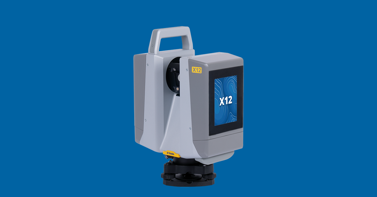
| Trimble X12 | Wharf structures, cranes | Terrestrial, long-range |
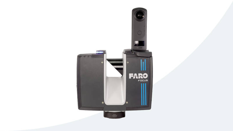
| FARO Focus Premium | Warehouse interiors, MEP | Terrestrial, detailed |
| NavVis VLX3 | Administrative areas, warehouses | Mobile, rapid coverage |
| DJI M4E + Zenmuse L3 | Site-wide aerial, roofs | Aerial LiDAR |
| DJI M4E + Zenmuse P1 | Visual documentation | Aerial photogrammetry |
| BathyLogger BL200 | Channel and berth depths | Bathymetric survey |
| RTK base station | All sensors | Centimeter positioning |
Frequently Asked Questions
How much does port 3D scanning cost? A comprehensive port scan — including terrestrial, aerial, and bathymetric surveys — typically costs $30,000-$100,000+ depending on facility size. Smaller marina or harbor projects start at $10,000-$20,000. Use our cost estimator for guidance.
Can bathymetric and topographic surveys be done simultaneously? Yes, with coordination. The drone LiDAR and terrestrial scanning teams work the above-water infrastructure while the bathymetric survey vessel covers the channel and berth areas. Shared control network ensures data integration.
What depth can the BathyLogger BL200 measure? The BL200 measures depths from 0.4 meters to 100 meters, covering the range needed for harbor and channel surveys. The 200 kHz frequency is optimized for shallow-water precision. Deeper water (100m+) requires lower-frequency equipment.
How is tide accounted for in bathymetric surveys? Depth measurements are time-stamped and corrected using tidal observation data from a nearby tide gauge or predicted tidal model. All depths are reduced to a common datum (typically chart datum or MLLW) for consistency.
Can you scan active port facilities? Yes. Terrestrial scanning is performed around active operations with standard safety coordination. Drone operations require port authority approval and coordination with vessel traffic. Bathymetric surveys can operate alongside vessel movements with appropriate safety measures.
Explore our port and harbor 3D scanning services and BathyLogger BL200 equipment page. For project budgeting, use our niche project cost estimator or request a quote.
Ready to Start Your Project?
Get a free quote and consultation from our 3D scanning experts.
Get Your Free Quote

