The Power Of Drone Photogrammetry For Building Inspection
In the evolving landscape of construction and building management, the drive for efficiency, safety, and precision has never been more critical. At THE FUTURE 3D, we stand at the forefront of integrating cutting-edge technologies into everyday operations, revolutionizing how buildings are inspected, maintained, and managed. One such technology that is changing the game is drone photogrammetry, a method that harnesses the capabilities of UAVs (Unmanned Aerial Vehicles) to collect high-resolution imagery for detailed analysis.
What is Drone Photogrammetry?
Drone photogrammetry involves the use of drones equipped with advanced imaging technologies to capture a series of photographs from various angles around a building. These images are then processed using specialized software to create detailed 3D models and maps. This innovative approach offers unparalleled precision in inspecting buildings, infrastructures, and even entire cityscapes, making it an indispensable tool for architects, engineers, and construction managers.
How It’s Done
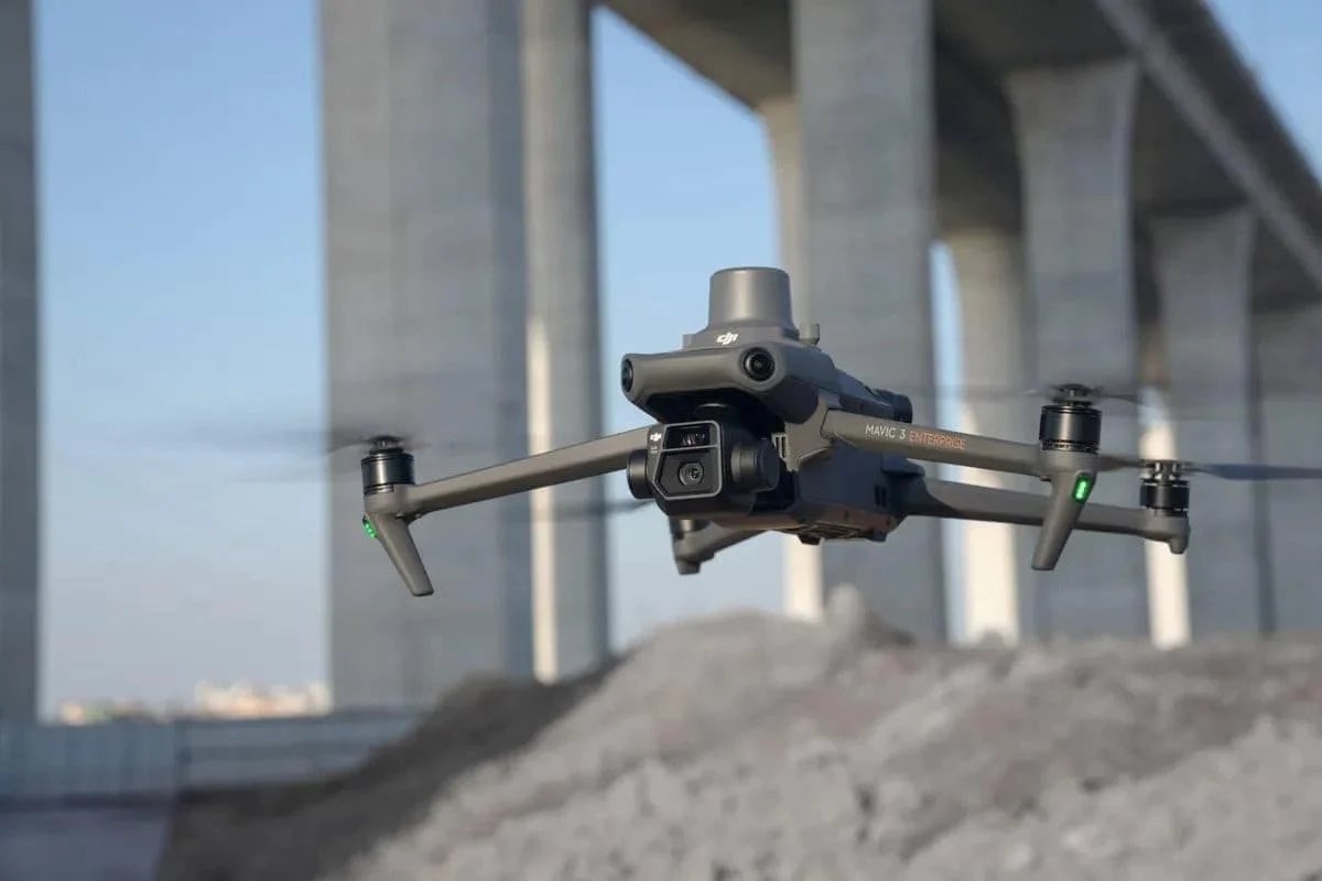
The process begins with a drone, such as the DJI Mavic 3 Enterprise RTK, taking flight to capture high-quality images from predetermined flight paths. These images are intricately stitched together using software solutions like DroneDeploy or Pix4D, creating highly accurate 3D representations of the structures.
Applications and Clients
Drone photogrammetry is versatile, finding applications in a wide array of projects - from the inspection of high-rise buildings in urban centers like Miami, FL, and New York to monitoring construction progress in sprawling residential developments across Los Angeles and nationwide. It serves an essential role in:
- Structural inspections and maintenance
- Pre-construction site surveys
- Monitoring construction progress
- Roof inspections
- Infrastructure analysis
This technology is particularly beneficial for clients ranging from construction companies and real estate developers to governmental bodies and architectural firms, providing them with detailed insights that were previously unattainable without significant time and financial investment.
Why Use Drone Photogrammetry?
The advantages of drone photogrammetry are manifold:
- Enhanced Safety: It significantly reduces the need for manual inspections in hard-to-reach areas, thereby minimizing risk.
- Cost Efficiency: Drone inspections are faster and less labor-intensive, reducing operational costs.
- Precision and Accuracy: The technology offers detailed and accurate data, aiding in better decision-making.
- Time-saving: Quick deployment and rapid data collection mean that projects can move forward without delay.
By incorporating drone photogrammetry into their operations, companies can not only enhance the efficiency and safety of their projects but also gain a competitive edge in the market.
Leading Industry Tools
To achieve the best results in drone photogrammetry, utilizing top-tier tools and software is paramount. Here are some recommendations:
- DJI Mavic 3 Enterprise RTK - Ideal for capturing precise, high-resolution images.
- DroneDeploy - Offers comprehensive drone mapping solutions.
- Pix4D - Specializes in creating accurate 3D models from drone-captured images.
- Skand - Provides innovative solutions for analyzing and managing the resulting data.
Locations We Serve
At THE FUTURE 3D, our services span across key locations, including Miami, FL; New York; New Jersey; Connecticut; Los Angeles; and nationwide across the U.S. Our team of experts is equipped to bring the benefits of drone photogrammetry to your next project, regardless of its location.
Conclusion
Drone photogrammetry is more than just a technological innovation; it’s a strategic asset that can significantly enhance the quality, safety, and efficiency of building inspections. As the industry evolves, THE FUTURE 3D remains committed to offering cutting-edge solutions to our clients, ensuring that they stay ahead in a competitive landscape.
For those looking to integrate drone photogrammetry into their operations, partnering with a leader in the field is essential. Visit our website at www.thefuture3d.com to discover how we can transform your project management and inspection processes with the power of drone technology.
Ready to Start Your Project?
Get a free quote and consultation from our 3D scanning experts.
Get Your Free Quote


