Corridor Mapping with Drones: Power Lines, Pipelines & Roads
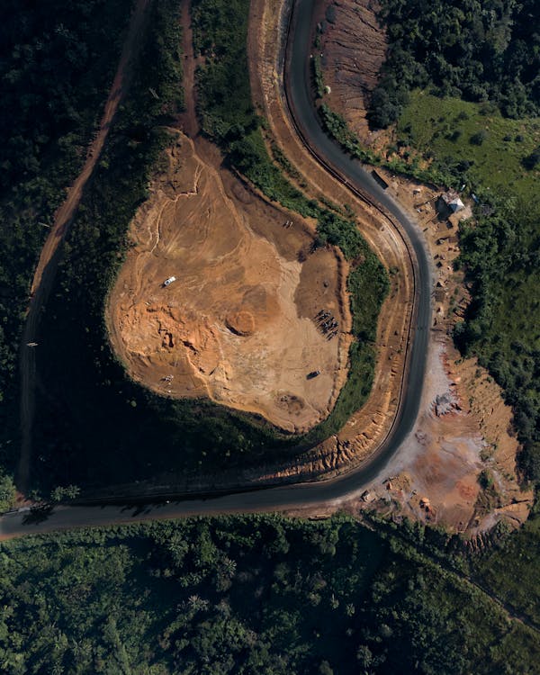
Corridor mapping is the aerial survey of linear infrastructure — power lines, pipelines, highways, railways, canals, and fiber optic routes. These projects stretch for miles or hundreds of miles, making traditional ground surveying impractical and expensive.
Drones and helicopters have transformed corridor mapping by providing fast, safe, and cost-effective data capture along any linear feature.
What is Corridor Mapping?
Corridor mapping captures geospatial data along a defined linear path, typically 200-1,000 feet wide. The resulting datasets document the corridor’s terrain, vegetation, structures, and utilities for planning, maintenance, compliance, and inspection.
Standard corridor mapping deliverables:
- Georeferenced orthomosaic of the entire corridor
- LiDAR point cloud (classified: ground, vegetation, wires, structures)
- Digital terrain model (DTM) for bare-earth elevation
- Digital surface model (DSM) for vegetation and structure heights
- Cross-section profiles at defined intervals
- Vegetation encroachment analysis (for power lines)
- Clearance measurements (wire-to-ground, wire-to-vegetation)
Corridor Mapping Platforms

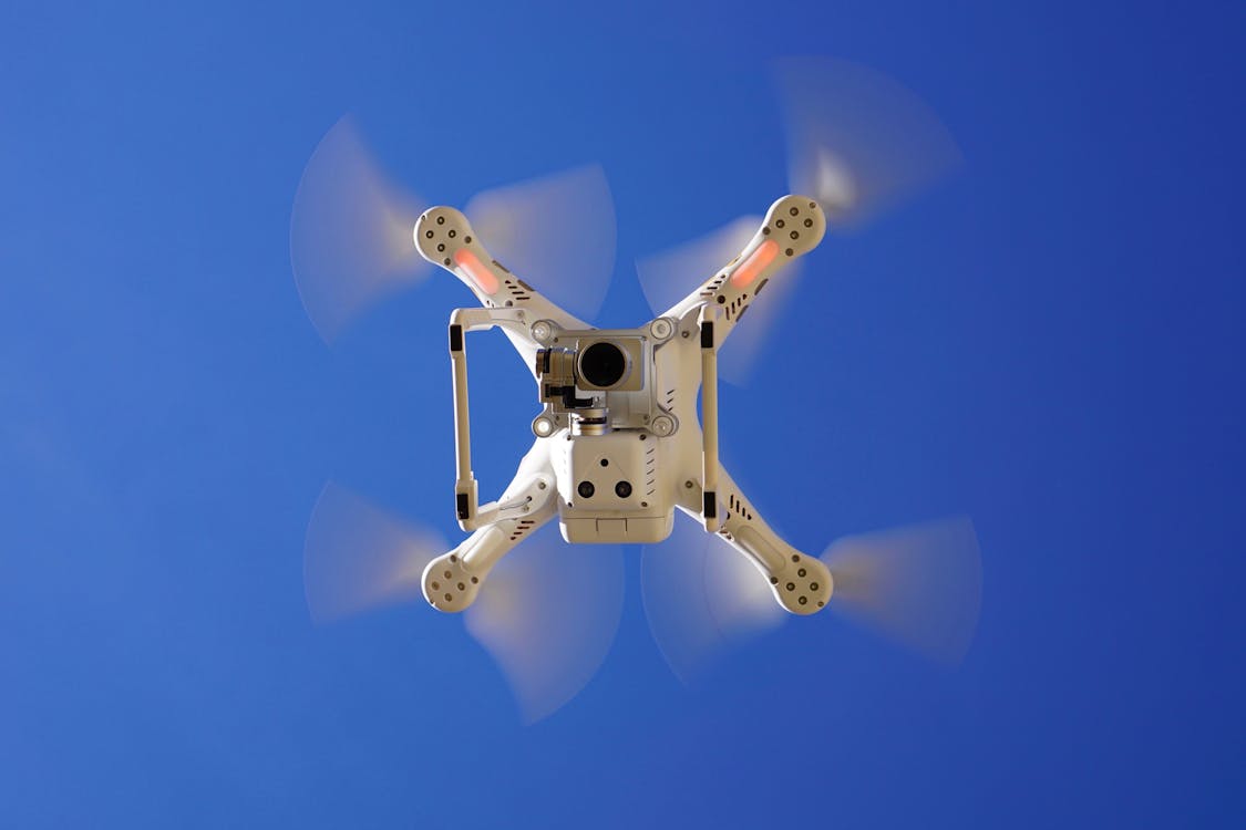
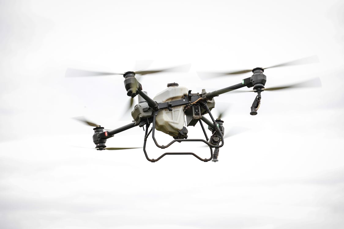
Multirotor Drones (Short Corridors)
Best for corridors under 5 miles. DJI Mavic 3 Enterprise or M350 RTK with photogrammetry or LiDAR payload. Flight time limits corridor length per battery.
Fixed-Wing Drones (Medium Corridors)
Best for 5-50 mile corridors. senseFly eBee X or WingtraOne covers 5-15 linear miles per flight at 40-60 mph. Efficient for pipeline right-of-ways and road surveys.
Helicopter LiDAR (Long Corridors)
Best for 50-1,000+ mile corridors. Manned helicopter with Riegl VUX or Leica ALS sensor covers 50-200 linear miles per day at 100+ mph. The industry standard for transmission line surveys.
Power Line Corridor Mapping
Power line surveys are one of the most common corridor mapping applications. LiDAR captures wire geometry, tower/pole positions, vegetation proximity, and ground clearance — all critical for maintaining safe operating conditions.
Key measurements:
- Wire-to-ground clearance at every span
- Wire-to-vegetation clearance (triggers trimming when too close)
- Tower/pole lean and foundation condition
- Sag analysis under different temperature/load scenarios
- Right-of-way boundary encroachment detection
Utilities use corridor mapping data for vegetation management planning, outage prevention, NERC compliance, and capital improvement programs.
Pipeline Corridor Mapping
Pipeline operators map corridors for route planning, construction monitoring, integrity management, and regulatory compliance. LiDAR detects unauthorized encroachment, erosion risk, and ground movement along the pipeline right-of-way.
Highway & Road Corridor Mapping
Transportation agencies use corridor mapping for road design surveys, pavement condition assessment, drainage analysis, and right-of-way documentation. Fixed-wing drones or helicopters capture entire highway segments in hours rather than weeks of ground survey.
Cost Considerations
- Short corridors (< 5 mi): $3,000-$10,000 drone survey
- Medium corridors (5-50 mi): $150-$500/mile drone or helicopter
- Long corridors (50+ mi): Helicopter LiDAR, project-based pricing
Pricing varies by corridor width, deliverables, accuracy requirements, and location. Get a quote →
Related Resources
- Aerial Survey & Mapping Overview
- Aerial LiDAR Guide
- Fixed-Wing Drone Mapping Guide
- Drone Survey Cost Guide
Need corridor mapping for your pipeline, power line, or transportation project? Request a quote → or call +1-347-998-1464.
Ready to Start Your Project?
Get a free quote and consultation from our 3D scanning experts.
Get Your Free Quote

