
Aerial Survey Cost Guide: What You’ll Actually Pay in 2026
Aerial survey pricing depends on three things: the method you choose, the area you need covered, and the accuracy your project requires. This guide breaks down real service pricing for drone photogrammetry, drone LiDAR, and helicopter/manned aircraft LiDAR — so you can budget accurately before requesting quotes.
Important: All pricing on this page reflects average U.S. service rates. Actual costs vary by metro area based on provider availability, permit requirements, and project logistics. Get a custom quote for your project →
Drone Photogrammetry Pricing
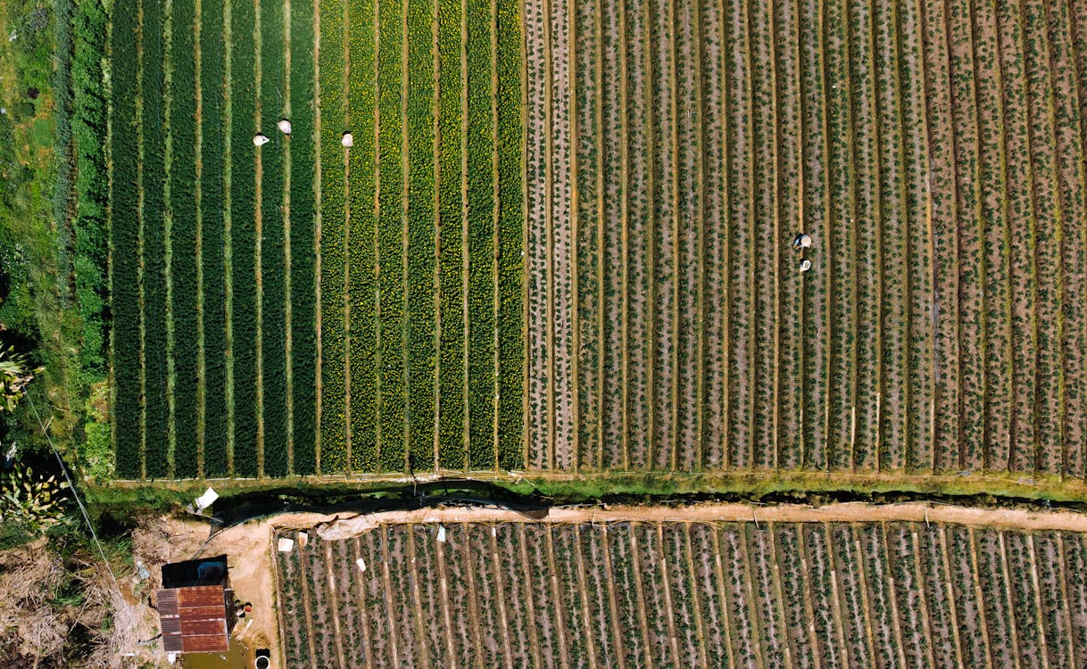
Drone photogrammetry uses overlapping aerial photographs to create orthomosaics, 3D models, digital surface models, and volume calculations. It is the most cost-effective aerial survey method for open, well-lit sites.
What It Costs
| Project Size | Price Range | Typical Use Cases |
|---|---|---|
| Small sites (up to 10 acres) | $1,500 – $3,000 | Construction sites, small properties, rooftop surveys |
| Large areas (10–50+ acres) | $3,000 – $10,000+ | Agriculture, mining, solar farms |
| Corridor / linear projects | $3,000 – $10,000+ | Roads, pipelines, utility corridors |
What’s Included
- RTK/PPK-corrected aerial imagery (1–3 cm accuracy)
- Orthomosaic map (GeoTIFF)
- Digital surface model (DSM) and/or digital terrain model (DTM)
- Contour lines and volume calculations (if requested)
- Deliverables in GeoTIFF, DWG, or formats compatible with ArcGIS, QGIS, and AutoCAD Civil 3D
When Photogrammetry Is the Right Choice
Choose drone photogrammetry when your site is open (minimal tree canopy), you need photorealistic visual output, and your budget is under $5,000 for moderate acreage. Photogrammetry cannot see through vegetation — if your site has significant tree cover, drone LiDAR or aerial LiDAR is required.
Drone LiDAR Pricing
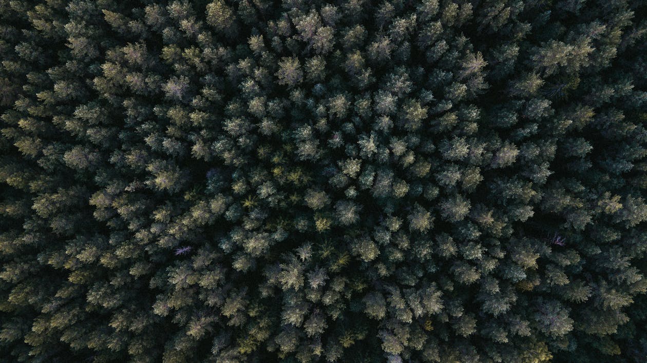
Drone LiDAR uses active laser pulses to capture precise 3D terrain data, including ground elevation beneath tree canopy. It is the only aerial method that penetrates vegetation to map bare-earth terrain.
What It Costs
| Project Size | Price Range | Notes |
|---|---|---|
| Minimum project | $3,000+ | Small site surveys, single-day mobilization |
| Complex / industrial | Up to $15,000+ | Large facilities, dense vegetation |
| Large areas (500+ acres) | $150 – $300 per acre | Volume pricing for extensive surveys |
| Detailed surveys | $400 – $500 per acre | High-density point clouds, engineering-grade accuracy |
What’s Included
- Classified point cloud data (LAS/LAZ) with ground, vegetation, and structure classes
- Digital terrain model (DTM) showing bare-earth elevation
- Digital surface model (DSM)
- Contour lines and breaklines
- Deliverables compatible with ArcGIS, QGIS, AutoCAD Civil 3D, and Revit
When LiDAR Is the Right Choice
Choose drone LiDAR when your site has vegetation that obscures the ground, you need bare-earth terrain models, the project requires consistent accuracy regardless of lighting conditions, or you need to capture terrain data for floodplain studies, forestry, or utility corridor mapping. For a deeper comparison, see our Photogrammetry vs LiDAR guide.
Helicopter and Manned Aircraft LiDAR Pricing
For projects exceeding 500–1,000 acres or corridors longer than 5–10 miles, helicopter or manned aircraft LiDAR becomes the most efficient option. These platforms carry high-powered sensors (Riegl VUX-series, Leica ALS) that capture data from 500 to 5,000+ feet AGL, covering thousands of acres per sortie.
What It Costs
Helicopter and aircraft LiDAR projects are custom-quoted based on:
- Total project area or corridor length
- Required accuracy and point density specifications
- Terrain complexity and vegetation density
- Aircraft positioning and mobilization distance
- Regulatory requirements and airspace coordination
THE FUTURE 3D operates helicopter and manned aircraft LiDAR for large-scale projects. Contact us for a project-specific quote →
When Aircraft LiDAR Is the Right Choice
Choose manned aircraft LiDAR when your project covers more than 500 acres, involves corridors longer than 5–10 miles (transmission lines, pipelines, railways), requires USGS or government-specification mapping, or when the efficiency of covering 50–200+ square miles per day justifies the higher mobilization cost. See our detailed Drone vs Aircraft LiDAR comparison.
Cost Comparison: All Aerial Survey Methods
| Factor | Drone Photogrammetry | Drone LiDAR | Aircraft LiDAR |
|---|---|---|---|
| Starting price | $1,500 | $3,000 | Custom quote |
| Per-acre (large areas) | — | $150–$500 | Custom |
| Best for area size | Up to 50 acres | Up to 500 acres | 500+ acres |
| Accuracy | 1–3 cm (RTK/GCPs) | 1–3 cm | 2–5 cm |
| Vegetation penetration | No | Yes | Yes (superior) |
| Mobilization time | Hours | Hours | 1–5 days |
| Visual output | Photorealistic orthomosaic | Colorized point cloud | Point cloud |
Factors That Affect Your Final Cost
1. Project Area and Complexity
Larger areas generally cost less per acre due to economies of scale. However, complex terrain (steep slopes, dense urban areas, heavy vegetation) increases flight time and data processing effort.
2. Required Accuracy
Survey-grade accuracy (1–3 cm) costs more than mapping-grade (5–10 cm) due to the need for ground control points, RTK/PPK corrections, and more careful flight planning. Licensed surveyor sign-off, when required, adds to the project cost.
3. Deliverable Requirements
Basic orthomosaics and point clouds are included in standard pricing. Advanced deliverables like volumetric calculations, classified point clouds, cross-sections, or CAD-ready contour files may add to the project scope.
4. Location and Access
Urban areas with complex airspace (Class B/C/D) require additional FAA coordination. Remote sites may incur travel costs. Internationally, drone regulations and permit requirements vary significantly — see our regional pricing notes.
5. Timeline
Standard turnaround for aerial survey deliverables is 1–2 business days for point cloud and orthomosaic data. Rush delivery within 24 hours is available at a premium.
Making the Right Choice for Your Budget
- Under $3,000: Drone photogrammetry for sites up to 10 acres
- $3,000–$10,000: Drone LiDAR for vegetated terrain, or drone photogrammetry for larger open areas
- $10,000+: Large-area drone LiDAR, corridor surveys, or helicopter/aircraft LiDAR for massive projects
Not sure which method fits your project? Use our Aerial Survey Method Selector quiz or Aerial Survey Cost Estimator to get a quick recommendation.
Get a Quote for Your Aerial Survey Project
THE FUTURE 3D provides aerial survey services across all platforms — multirotor drones, fixed-wing drones, and helicopter/manned aircraft. We recommend the optimal method based on your project footprint, accuracy requirements, and budget.
Related guides:
- Aerial Survey & Mapping Hub
- Orthomosaic Mapping Guide
- Aerial LiDAR Guide
- Drone Survey Cost Guide
- Drone LiDAR vs Aircraft LiDAR
Ready to Start Your Project?
Get a free quote and consultation from our 3D scanning experts.
Get Your Free Quote

