Long Island City has transformed from an industrial waterfront into one of New York City’s most active construction markets. The neighborhood’s rezoning over the past decade triggered a wave of high-rise residential and mixed-use development — and with it, a steady demand for LiDAR drone mapping that supports every phase of the construction lifecycle.
Why LiDAR Mapping Fits LIC’s Construction Market
Long Island City presents a specific set of surveying needs:
Pre-construction site surveys. Developers acquiring sites along the Queens waterfront need topographic surveys, boundary documentation, and existing conditions captures before design begins. LiDAR delivers centimeter-level accuracy across large parcels in a single flight session.
Construction progress monitoring. Active high-rise sites need regular progress documentation. Monthly drone photogrammetry flights create 3D models that project managers compare against BIM schedules — catching deviations before they become expensive problems.
Volumetric analysis. Several LIC sites involve excavation, fill, and material staging. LiDAR volumetrics calculate stockpile quantities and cut/fill volumes automatically from the point cloud data.
FAA Airspace Considerations
LIC sits under LaGuardia Airport’s Class B airspace. Every drone operation requires:
- LAANC (Low Altitude Authorization and Notification Capability) authorization through the FAA’s UAS system
- Flight ceiling typically limited to 200-400 feet AGL depending on the specific grid cell
- Coordination with LGA tower for operations near the waterfront approach paths
Our FAA Part 107 pilots handle all airspace authorizations as part of the project scope. We maintain standing relationships with the relevant FSDO and have operational history in this airspace.
What a Typical LIC Project Looks Like
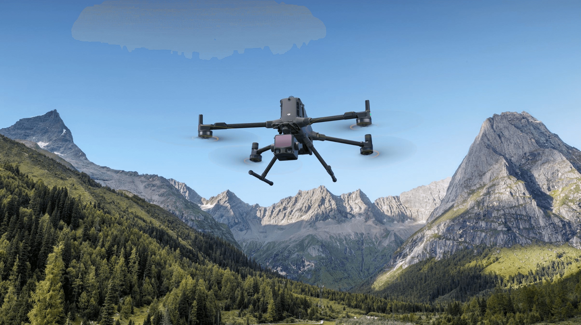
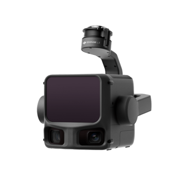
Site survey (1-day engagement): We deploy the DJI Matrice 350 RTK with Zenmuse L3 LiDAR payload. RTK positioning provides sub-centimeter horizontal accuracy without requiring extensive ground control points. A typical LIC development site (0.5-2 acres) takes one flight session, with deliverables in 5-7 business days.
Deliverables:
- Classified point cloud (ground, vegetation, structures) in LAS/LAZ format
- Digital terrain model (DTM) and digital surface model (DSM)
- Contour maps at 1-foot intervals
- Orthomosaic from photogrammetry camera (if requested)
Monthly progress monitoring: For active construction sites, we fly on a recurring schedule. Each flight produces a timestamped 3D model that’s compared to the previous month and to the design BIM — creating a visual and quantitative record of construction progress.
Across Queens and Beyond
LIC is our highest-volume Queens neighborhood, but we serve the broader borough:
- Astoria — Mixed-use development, infrastructure projects
- Flushing — Commercial development, transit-oriented projects
- Jamaica — Large-scale institutional and transportation projects
And across the East River in Manhattan’s dense urban core, where LiDAR mapping adapts to tighter flight windows and more complex airspace.
Get Started
Whether you’re a developer starting site due diligence, a GC tracking progress, or an architect capturing existing conditions — our Queens team deploys LiDAR drone mapping within 1-2 business days of project approval.
Request a LiDAR mapping quote for your Long Island City project.
Building an in-house drone program instead? We also sell equipment from our own fleet — including a brand-new DJI Matrice 400 enterprise drone for sale, the same LiDAR-capable flagship platform we fly on projects like these.
Ready to Start Your Project?
Get a free quote and consultation from our 3D scanning experts.
Get Your Free Quote