Drones and Utility Companies: The New Era of Utility Infrastructure & Facility Inspecting
Lidar drones have emerged as a valuable technology for utility companies. With their ability to create detailed, accurate maps of utility infrastructure, lidar drones can help utility companies streamline operations, improve safety, and reduce costs. In this article, we will explore how utility companies can use lidar drones to their advantage.
What is Lidar?
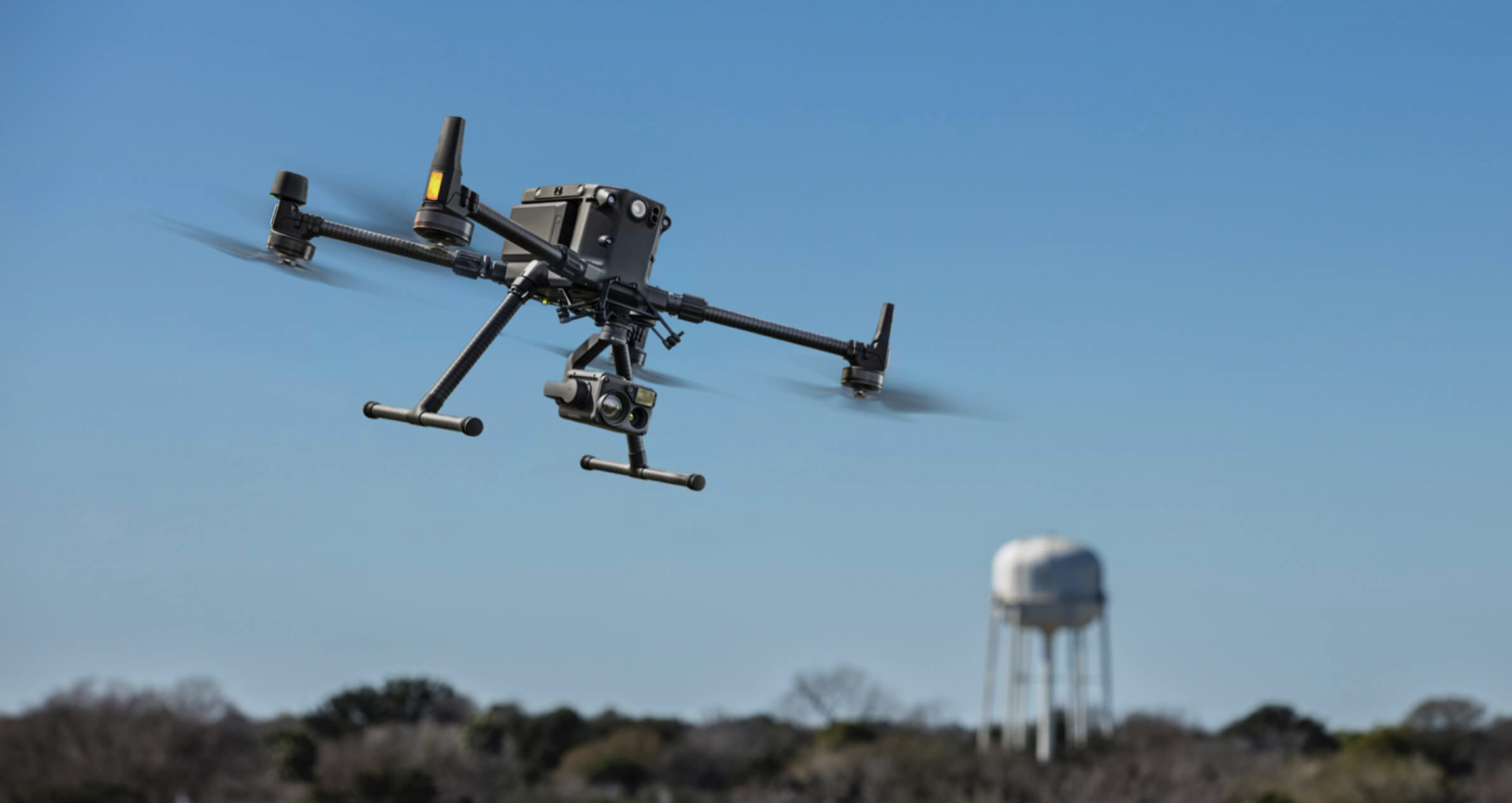
Lidar stands for Light Detection and Ranging. It is a remote sensing technology that uses laser light to create high-resolution maps of surfaces and objects. The lidar system consists of a laser, a scanner, and a GPS receiver. The laser emits light that bounces off the surfaces of objects and returns to the scanner, which measures the time it took for the light to return. This information is combined with GPS data to create a detailed 3D map of the area being scanned.
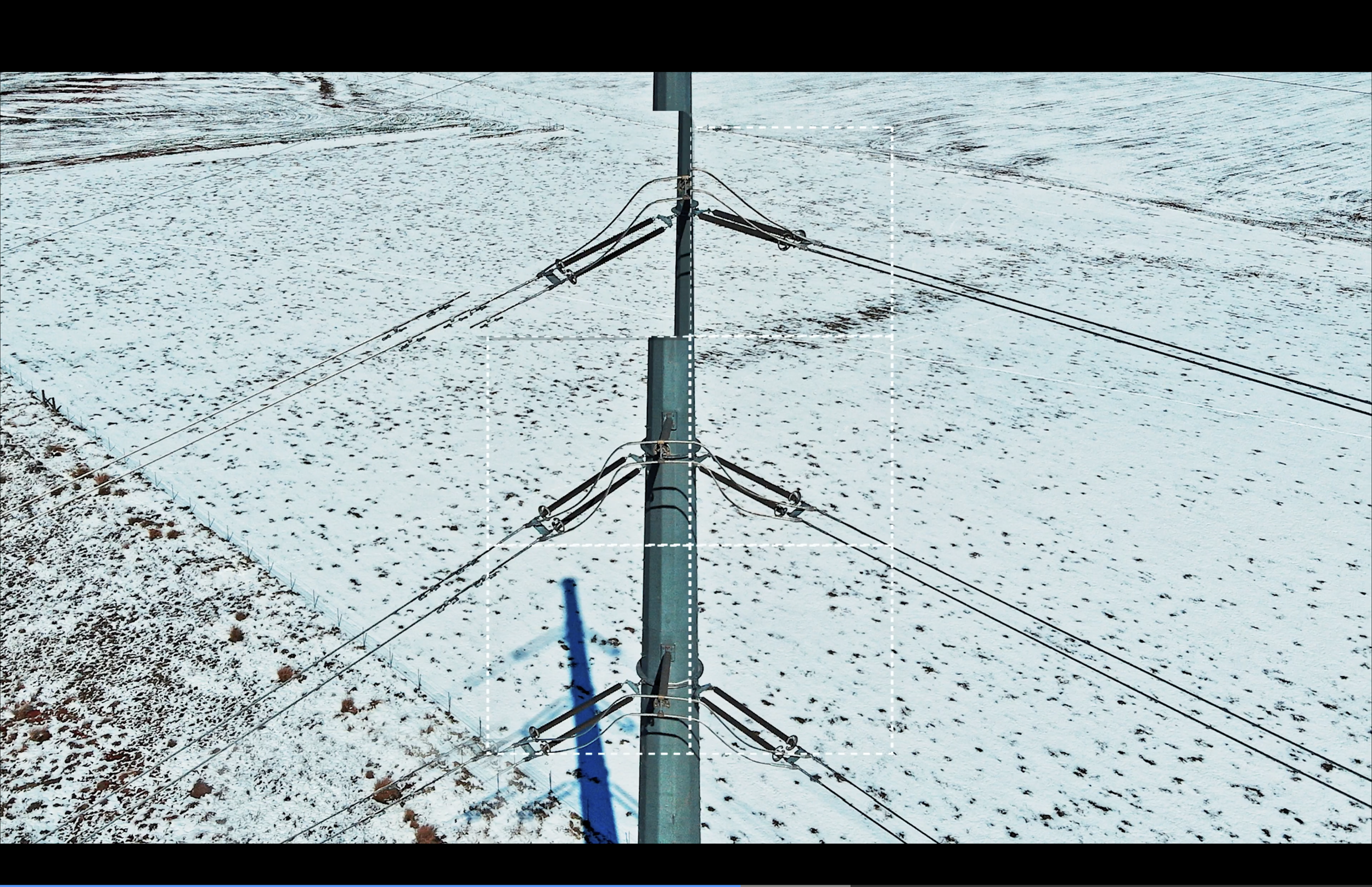
Lidar drones are unmanned aerial vehicles equipped with a lidar system. They can fly over utility infrastructure and collect data quickly and safely. The data collected by the lidar drone can be used to create detailed maps of the utility infrastructure, including power lines, transmission towers, and other assets.
How Can Utility Companies Use Lidar Drones?
1. Asset Management
Lidar drones can help utility companies manage their assets more efficiently. By creating detailed maps of the utility infrastructure, lidar drones can identify potential issues and help companies prioritize maintenance and repair work. The data collected by lidar drones can also be used to monitor the condition of assets over time and identify areas that may require attention.
2. Vegetation Management
One of the biggest challenges for utility companies is managing vegetation around power lines. Overgrown trees and other vegetation can cause power outages and pose a safety risk. Lidar drones can help utility companies manage vegetation more effectively by creating detailed maps of the area around power lines. This information can be used to identify areas that require trimming or removal, and to plan vegetation management activities more effectively.
3. Safety Inspections
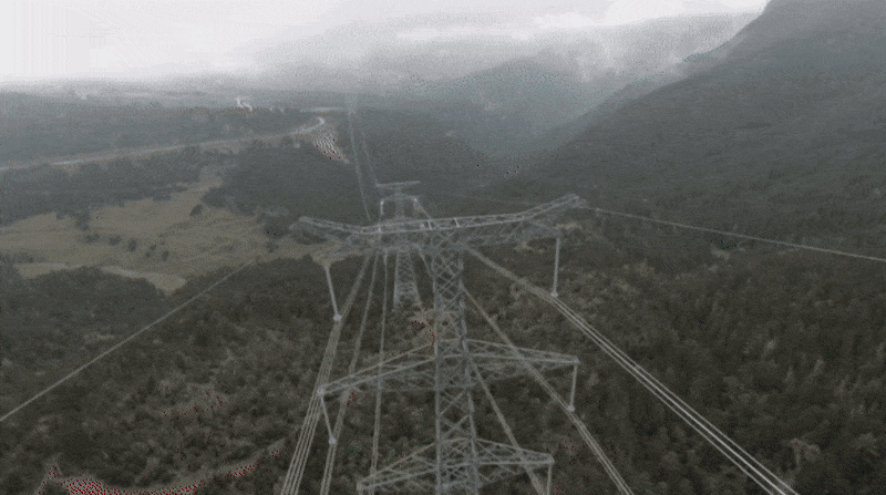
Lidar drones can be used to inspect infrastructure that is difficult or dangerous to access, such as transmission towers or power lines located in remote or hazardous locations. By using lidar drones to conduct safety inspections, utility companies can avoid putting workers in harm’s way and reduce the risk of accidents.
4. Planning and Design
Lidar drones can help utility companies plan and design new infrastructure more effectively. By creating detailed 3D maps of the terrain and existing infrastructure, lidar drones can help companies identify the best routes for new power lines or transmission towers. This information can also be used to optimize the design of new infrastructure to minimize impact on the environment and surrounding communities.
Conclusion
Lidar drones have the potential to revolutionize the way utility companies manage their infrastructure. By providing detailed, accurate data about the utility infrastructure, lidar drones can help companies improve efficiency, reduce costs, and enhance safety. As the technology continues to evolve, we can expect to see more and more utility companies adopt lidar drones as an essential tool in their operations.
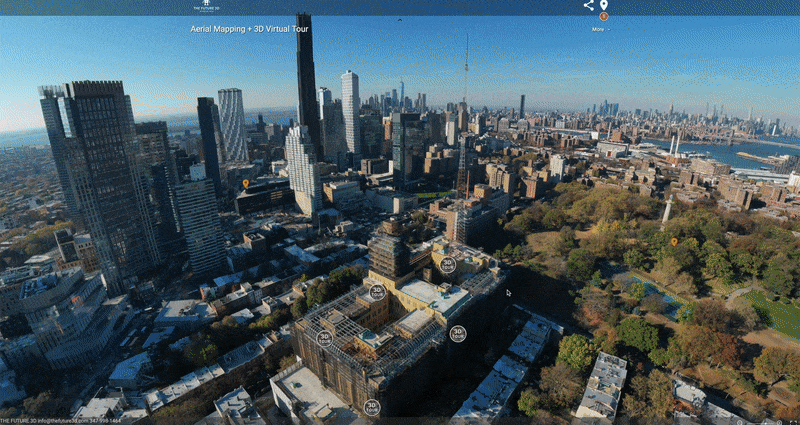
THE FUTURE 3D is leading the transformation of construction efficiency & safety by providing the 3D LiDAR Scanning and Drone Photogrammetry & Aerial Inspection services in Miami, New York, Los Angeles and nationwide U.S.
If you’d like to learn more about the latest technologies, contact us below.
Ready to Start Your Project?
Get a free quote and consultation from our 3D scanning experts.
Get Your Free Quote