Trimble X12 vs NavVis VLX3
An expert comparison to help you choose the right equipment for your project.
| Feature | Trimble X12 | NavVis VLX3 |
|---|---|---|
| Type | Terrestrial (Stationary) | Mobile (Wearable) |
| Range | 365m | 100m |
| Accuracy | ±1mm @ 10m / ±2mm @ 20m | ±5mm relative |
| Scan Rate | 2.187M pts/sec | 600K points/sec |
| Coverage | 20,000-30,000 sqft/day | 200,000-300,000 sqft/day |
| GNSS | Integrated | - |
Pricing shown reflects average US rates. Actual costs vary by location based on local market conditions, regulations, and project logistics — both within the US and internationally. Get a custom quote
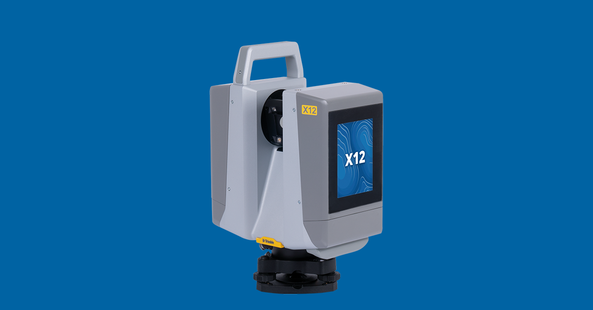
Trimble X12
Survey-Grade Terrestrial Scanner
The Trimble X12 is a stationary terrestrial laser scanner delivering ±1mm @ 10m / ±2mm @ 20m accuracy. Ideal for precise documentation where survey-grade accuracy is required.
Pros
- Superior accuracy
- Best for precision work
- Geodetic control integration
Cons
- Slower coverage
- Multiple setups required
- Heavier workflow
Best For
NavVis VLX3
High-Speed Mobile Mapping
The NavVis VLX3 is a wearable mobile mapping system capturing 200,000-300,000 sqft per day. Ideal for large facilities, campuses, and rapid documentation projects.
Pros
- 10x faster coverage
- Walk-through scanning
- Continuous data capture
- Digital twin ready
Cons
- Lower absolute accuracy
- Requires post-processing
- Higher initial cost
Best For
Our Expert Verdict
These scanners serve different purposes: Trimble X12 for precision, NavVis VLX3 for speed. Many teams use both—VLX3 for rapid capture and X12 for detailed areas.
Choose Trimble X12 if...
Choose Trimble X12 when accuracy is critical: engineering surveys, construction verification, and detailed equipment documentation.
Choose NavVis VLX3 if...
Choose NavVis VLX3 for large-scale documentation: campuses, hospitals, retail portfolios, and digital twin initiatives.
Frequently Asked Questions
Can VLX3 replace a terrestrial scanner?
Not completely. VLX3 excels at coverage but terrestrial scanners provide superior accuracy for detailed work.
Which captures faster?
NavVis VLX3 captures 10x more area per day by allowing continuous walking scans.
Which is better for BIM?
Trimble X12 for LOD 400 models; NavVis VLX3 for LOD 200-300 across large areas.
Professional Equipment In This Comparison
The Future 3D operates all equipment featured in this comparison. We're certified professionals delivering expert results.
Similar Equipment You Might Compare


Professional Services Using This Equipment
The Future 3D offers professional services utilizing Trimble X12 and NavVis VLX3 for superior results.
3D Virtual Tours
Immersive Matterport virtual tours for properties and spaces
3D Laser Scanning
Millimeter-accurate point cloud capture with Trimble and NavVis
Scan-to-BIM
BIM-conversion-ready 3D laser scan data in E57, RCP, LAS, and OBJ
Digital Twins
Living 3D models with real-time IoT integration
As-Built Documentation
Registered point clouds, 360° panoramas, and PDF reports from 3D scanning
Google Street View
Google Trusted Photographer services for business interiors
Industries That Benefit From This Technology
Trimble X12 and NavVis VLX3 technology drives innovation across these key industries.
Schools & Education
Virtual campus tours, facility documentation, and safety planning
Real Estate
Immersive property tours and marketing assets
Retail
Store planning and virtual store tours
Hospitality
Hotel virtual tours and event space showcases
Insurance
Property documentation and claims support
Property Management
Portfolio documentation and move-in/out inspections
Available Nationwide
The Future 3D provides professional 3D scanning services across the United States.
Florida (Headquarters)
Northeast
West Coast
South & Midwest
Need Help Choosing?
Our experts can recommend the right equipment for your specific project requirements.