Best Drones for Aerial Survey & Mapping in 2026
Choosing the right survey drone depends on what you are mapping, how much area you need to cover, and what sensors you need to carry. This guide ranks the top five professional mapping drones available in 2026 — from compact multirotors to high-endurance fixed-wing platforms — with clear guidance on which excels at each use case.
What Makes a Survey Drone Different from a Consumer Drone
Survey-grade drones differ from consumer models in three critical ways:
- RTK/PPK positioning — Centimeter-level accuracy without relying solely on ground control points
- Interchangeable or specialized payloads — Photogrammetry cameras, LiDAR sensors, multispectral imagers, and thermal cameras
- Autonomous mission planning — Systematic grid flights with precise overlap control for consistent mapping data
Consumer drones can capture impressive aerial photos, but survey drones capture data that engineers, surveyors, and construction managers can measure against.
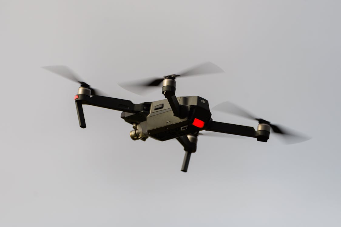
1. DJI Matrice 350 RTK — The Enterprise Workhorse
The M350 RTK is the most widely deployed commercial mapping drone globally and the backbone of most professional drone survey fleets.
Key Specifications
| Spec | Detail |
|---|---|
| Flight time | 55 minutes with no payload (DJI’s measurement at ~8 m/s, windless); expect materially less with a survey payload fitted |
| Payload limit | 960 g per gimbal damper — DJI publishes no total-payload figure for this aircraft |
| Max takeoff weight | 9.2 kg (airframe with two TB65 batteries is approx. 6.47 kg) |
| RTK accuracy | 1-2 cm horizontal, 2-3 cm vertical |
| IP rating | IP55 (rain and dust resistant) |
| Obstacle avoidance | 6-directional sensing |
| Operating temp | -20°C to 50°C |
Compatible Survey Payloads
- Zenmuse P1 — 45 MP full-frame photogrammetry camera
- Zenmuse L2 — LiDAR at 240,000 pts/sec single-return (1.2 million multi-return) + RGB camera for colorized point clouds
- Zenmuse H30T — Wide-angle + zoom + thermal + laser rangefinder
Note that the Zenmuse L3 is not an M350 payload: DJI lists the Matrice 400 as its only supported aircraft.
Best For
The M350 RTK is the default choice for construction site documentation, building surveys, infrastructure inspection, and any project requiring multiple sensor types. Its interchangeable payload system means one aircraft handles photogrammetry, LiDAR, and thermal missions.
Limitations
Battery life limits single-sortie coverage to 50–150 acres for mapping. For larger areas, plan for multiple battery swaps or consider a fixed-wing platform.
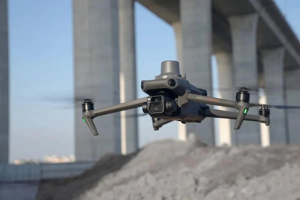
2. DJI Mavic 3 Enterprise — Compact Professional Mapping
The Mavic 3 Enterprise brings RTK-grade accuracy to a drone that fits in a backpack, making it the most portable professional mapping platform available.
Key Specifications
| Spec | Detail |
|---|---|
| Flight time | 45 minutes with no wind (36 minutes with the EU C1 battery and low-noise propellers) |
| Camera | 20 MP, 4/3 CMOS, mechanical shutter |
| RTK accuracy | 1-2 cm (with DJI RTK module) |
| Weight | 915 g with propellers, without accessories; the RTK module adds 24 g |
| Operating temp | -10°C to 40°C |
| Obstacle avoidance | Omnidirectional |
| Portability | Foldable — fits in a standard backpack |
Best For
The Mavic 3E excels at rapid-response mapping, small site surveys (under 50 acres), roof inspections, and situations where a single operator needs to travel light. It is the fastest platform to deploy from vehicle to airborne.
Limitations
No interchangeable payloads — the built-in camera is the only sensor option. Not suitable for LiDAR, thermal, or multispectral missions. Lower image resolution than the Zenmuse P1.
3. WingtraOne — VTOL Fixed-Wing for Large Areas
The WingtraOne combines the coverage efficiency of a fixed-wing with vertical takeoff and landing, eliminating the need for a runway or hand-launch skills.
Key Specifications
| Spec | Detail |
|---|---|
| Flight time | 59 minutes |
| Coverage per flight | Up to 1,000+ acres (at 120m altitude) |
| Accuracy | 1 cm horizontal with PPK |
| Takeoff / landing | VTOL — launches and lands vertically |
| Camera options | Sony RX1R II (42 MP), MicaSense RedEdge-P (multispectral) |
| Cruise speed | 57 km/h |
Best For
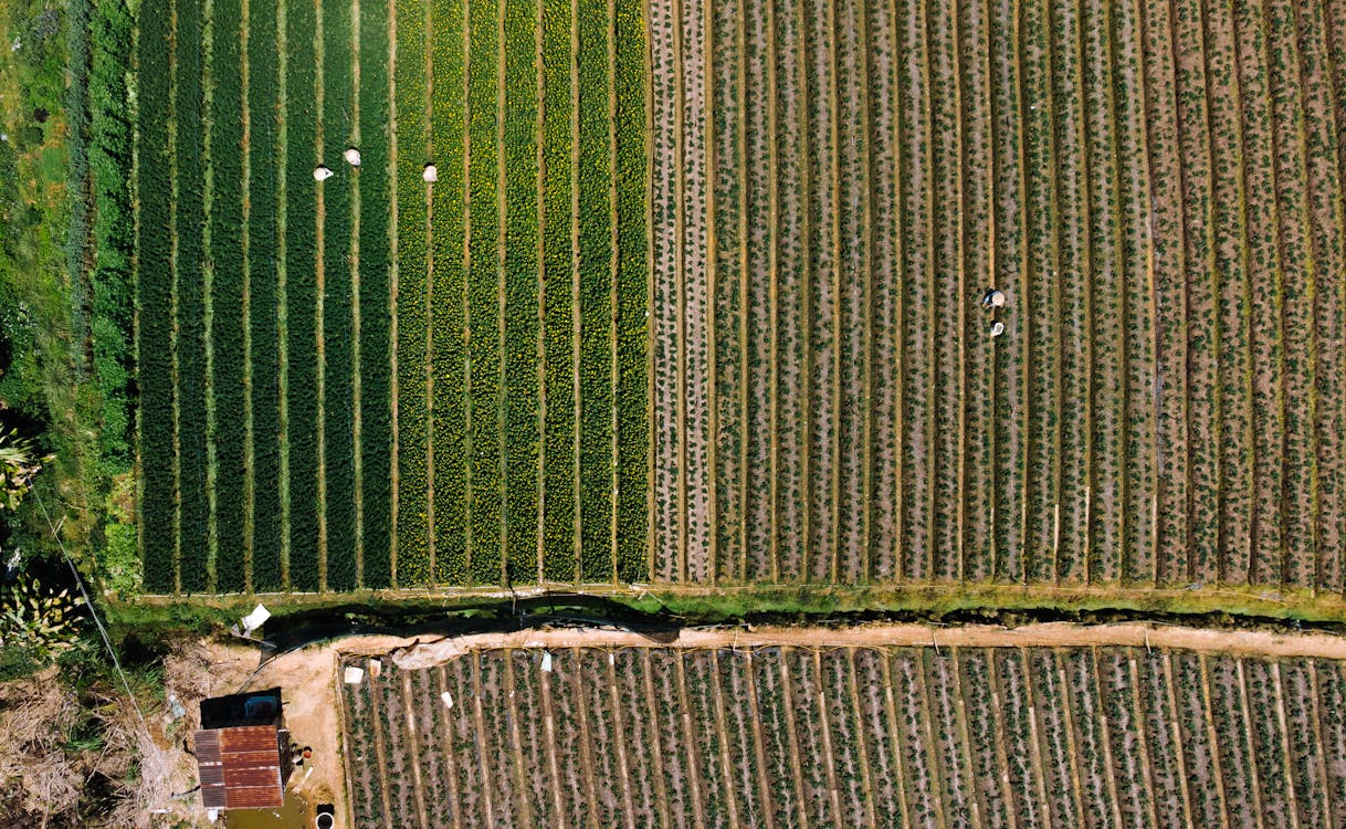
WingtraOne is the top choice for large agricultural surveys, mining stockpile measurement, corridor mapping, and any project exceeding 100 acres where per-flight coverage efficiency matters. The VTOL design means no hand-launch training required.
Limitations
No hover capability during mapping (data captured in fixed-wing flight only). No LiDAR payload option. Requires a 3×3 meter clear area for vertical takeoff and landing.
4. senseFly eBee X — Traditional Fixed-Wing Endurance
The eBee X is one of the most proven fixed-wing mapping platforms in the industry, with thousands deployed worldwide for agricultural, mining, and government mapping projects.
Key Specifications
| Spec | Detail |
|---|---|
| Flight time | 90 minutes |
| Coverage per flight | Up to 2,000 acres (at 120m altitude) |
| Accuracy | 1-3 cm with RTK/PPK |
| Launch method | Hand-launch |
| Camera options | senseFly S.O.D.A. 3D, Aeria X, MicaSense multispectral |
| Cruise speed | 40-110 km/h |
| Wind resistance | Up to 46 km/h |
Best For
The eBee X excels at maximum coverage missions — mapping 2,000 acres in a single 90-minute flight is unmatched by any multirotor. Ideal for large farms, regional topographic surveys, and government-scale mapping where covering the most ground per flight hour is the priority.
Limitations
Hand-launch requires practice and a safe landing area. No hover capability. Heavier winds during takeoff and landing can be challenging. Limited to camera payloads (no LiDAR).
5. DJI Matrice 4 Enterprise (M4E) — Next Generation
The M4E represents DJI’s latest enterprise platform, building on the M350 RTK’s foundation with improved efficiency and a streamlined form factor.
Key Specifications
| Spec | Detail |
|---|---|
| Flight time | 49 minutes with standard propellers, no payload (46 minutes with low-noise propellers); 42 minutes hovering |
| Camera | Integrated 20 MP wide (4/3 CMOS, mechanical shutter) + 48 MP medium tele + 48 MP tele. Thermal is on the M4T, not the M4E |
| RTK accuracy | 1-2 cm horizontal |
| Weight | 1,219 g takeoff weight — far lighter than the M350 RTK |
| Obstacle avoidance | Next-gen omnidirectional sensing |
| Form factor | Compact foldable enterprise design |
Best For
The M4E is designed for inspection, mapping, and emergency response operations where a single integrated platform with multiple camera modes is more practical than swapping payloads. Best for teams that need wide-angle and long zoom from one drone; if thermal is required, the M4T carries the same airframe with a 640×512 thermal camera.
Limitations
Newer platform with less field-proven track record than the M350 RTK. Integrated sensors mean no Zenmuse payload option — if you need a dedicated photogrammetry camera such as the P1, or a LiDAR sensor, an M350 RTK or Matrice 400 remains the better choice.
Side-by-Side Comparison
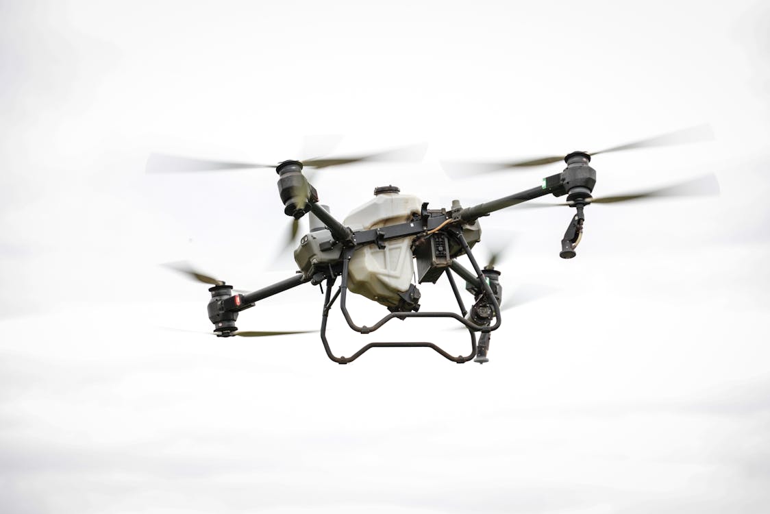
| Feature | M350 RTK | Mavic 3E | WingtraOne | eBee X | M4E |
|---|---|---|---|---|---|
| Type | Multirotor | Multirotor | VTOL Fixed-Wing | Fixed-Wing | Multirotor |
| Flight time | 55 min (no payload) | 45 min | 59 min | 90 min | 49 min |
| RTK/PPK | Yes | Yes | PPK | RTK/PPK | Yes |
| LiDAR capable | Yes (Zenmuse L2) | No | No | No | No |
| Hover | Yes | Yes | No | No | Yes |
| Portability | Vehicle | Backpack | Vehicle | Vehicle | Backpack-ish |
| Best for | Multi-sensor | Quick deploy | Large areas | Max coverage | All-in-one |
How to Choose: Decision Framework

Choose the M350 RTK if:
You need the flexibility to switch between photogrammetry (P1), LiDAR (L2), and thermal (H30T) on the same aircraft. This is the default for full-service survey companies.
Choose the Mavic 3E if:
You need a fast, portable mapping solution for small sites (under 50 acres) or rapid-response situations. One person, one backpack, sub-centimeter accuracy.
Choose the WingtraOne if:
Your projects regularly exceed 100 acres and you want VTOL convenience without hand-launch training. Agricultural and mining operations favor this platform.
Choose the eBee X if:
You need absolute maximum coverage per flight — 2,000 acres in 90 minutes. Government contracts, regional surveys, and large farm operations.
Choose the M4E if:
You want a single integrated platform with wide, zoom, and thermal sensors for combined mapping and inspection workflows.
Professional Aerial Survey Services
Owning survey drones requires significant investment in equipment, software licenses, training, insurance, and FAA certification. For most organizations, hiring a professional aerial survey service is more cost-effective than building an in-house program.
THE FUTURE 3D operates a fleet of enterprise mapping drones including the DJI M350 RTK, Mavic 3E, and fixed-wing platforms. We handle all FAA coordination, flight planning, data processing, and deliverable production — so you get survey-grade results without the equipment investment.
Request a Quote for Your Aerial Survey Project →
Related resources:
- Aerial Survey & Mapping Hub
- Fixed-Wing vs Multirotor Comparison
- Aerial Survey Cost Guide
- Aerial Survey Method Selector Quiz
- Drone Photogrammetry Services
Ready to Start Your Project?
Get a free quote and consultation from our 3D scanning experts.
Get Your Free Quote