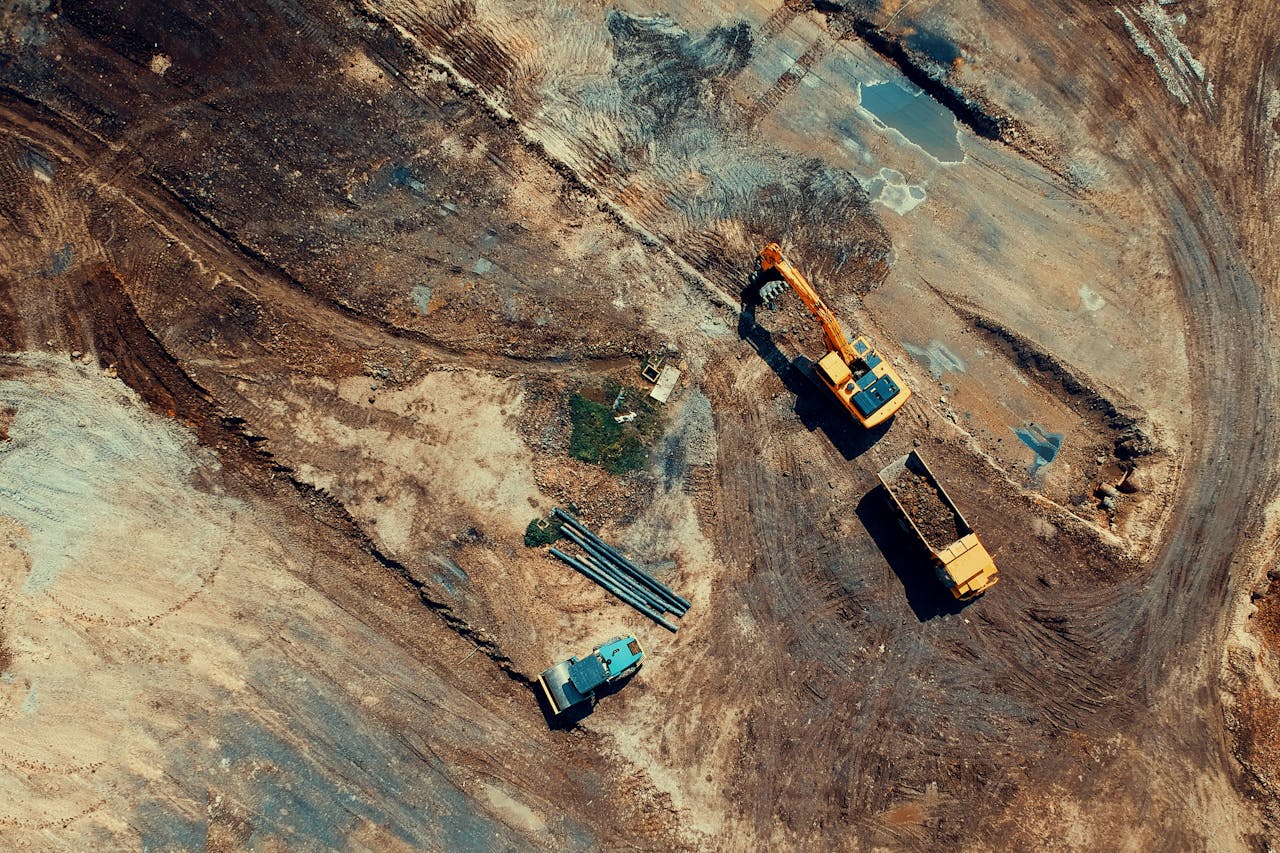
Europe’s transport infrastructure is vast and ageing. The EU’s Trans-European Transport Network (TEN-T) alone comprises over 136,000 km of roads and 77,000 km of railways, with significant portions requiring ongoing monitoring, inspection, and maintenance documentation. Traditional inspection methods involving lane closures, scaffolding, and manned visual surveys are expensive, disruptive, and slow.
Dock-based drone operations offer a transformative approach to infrastructure monitoring, particularly for linear assets (roads, railways, pipelines) where the inspection challenge is covering hundreds of kilometres of geographically distributed infrastructure on a recurring basis.
The European Infrastructure Challenge
European transport infrastructure faces several converging pressures:
Ageing assets. Much of Europe’s motorway network was built in the 1960s-1980s. Bridges, viaducts, and tunnels from this era are reaching the age where structural monitoring becomes critical. Germany alone has over 39,000 road bridges, many of which require regular condition assessment.
Increasing traffic loads. Infrastructure designed for lower traffic volumes and lighter vehicles now carries substantially more load. Heavy goods vehicle weights and freight volumes have increased steadily, accelerating structural degradation.
Climate impacts. Extreme weather events, temperature cycling, flooding, and subsidence are creating new maintenance demands. The 2021 Western European floods demonstrated how quickly transport infrastructure can be compromised, and how important rapid post-event damage assessment is.
Regulatory requirements. EU Directive 2008/96/EC on road infrastructure safety management requires regular inspection and assessment of the road network. National implementing regulations specify inspection frequencies and documentation standards.

How Dock-Based Drones Serve Linear Infrastructure
Linear infrastructure presents a unique challenge for drone operations: the assets stretch over hundreds of kilometres rather than being concentrated on a single site. Dock-based systems address this through two deployment strategies.
Fixed Dock Networks
For critical infrastructure corridors, permanent docks installed at intervals along the route provide continuous monitoring coverage. Each dock covers a defined segment, and the combined network provides end-to-end surveillance.
Typical deployment pattern:
- Docks installed every 5-15 km along the corridor (depending on drone range and inspection requirements)
- Each dock covers its segment with scheduled daily or weekly flights
- Bridge and viaduct locations prioritised for dock placement
- Data from all docks feeds into a centralised asset management platform
This approach is most cost-effective for:
- Motorway corridors with concentrated infrastructure (bridges, interchanges, retaining walls)
- Railway corridors with frequent structures requiring inspection
- Pipeline routes requiring regular environmental and integrity monitoring
Vehicle-Mounted Docks (Dock 3)
The DJI Dock 3 introduced vehicle-mounted deployment, which is particularly significant for infrastructure monitoring. A dock mounted on an inspection vehicle moves along the corridor while the drone flies ahead, covering the route without requiring permanent installations.
How vehicle-mounted inspection works:
- The inspection vehicle travels along the road or railway corridor at moderate speed
- The Dock 3, mounted on the vehicle, launches the drone
- The drone flies ahead, capturing imagery of the road surface, bridges, signage, barriers, and verges
- The drone returns to the moving dock for battery change
- The drone relaunches and continues the corridor
This approach covers long corridors efficiently without the capital investment of permanent dock networks. A single vehicle-mounted Dock 3 with a Matrice 4D can survey 20-40 km of corridor per day, depending on the level of detail required and the number of structures along the route.
What Dock-Based Infrastructure Monitoring Captures
Road Surface Condition
Automated flights capture high-resolution RGB imagery of the road surface, revealing:
- Cracking patterns (longitudinal, transverse, alligator, block)
- Pothole formation and progression
- Surface deformation (rutting, shoving, corrugation)
- Joint deterioration on concrete pavements
- Lane marking degradation
When flown at consistent intervals (weekly or monthly), the imagery creates a time-series dataset showing deterioration rates, enabling predictive maintenance rather than reactive repair.
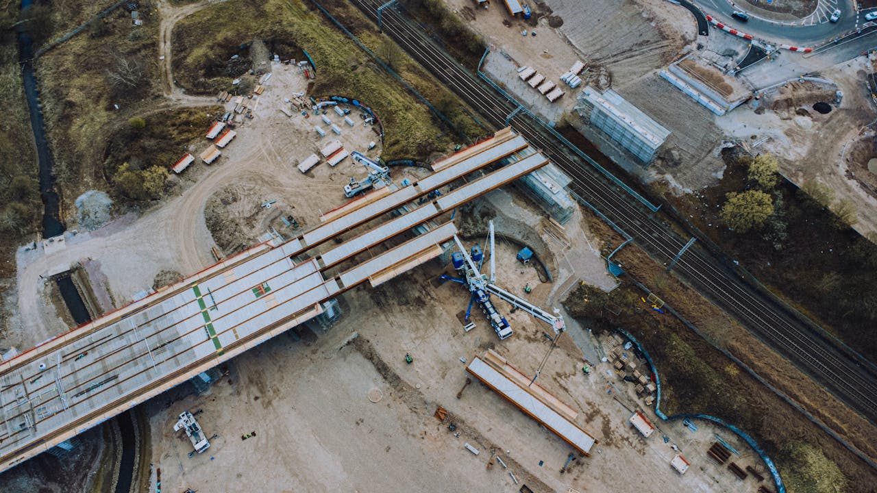
Bridge and Viaduct Inspection
Bridges are the highest-value inspection targets on any road or rail network. Dock-based drones provide:
- Deck condition assessment — Top-surface imagery captured during routine overflight
- Soffit inspection — Close-range imagery of the underside structure (requires specific flight paths, often manual supplement)
- Bearing and expansion joint monitoring — Repeated imagery showing movement, deterioration, or blockage
- Approach embankment stability — Aerial evidence of settlement, erosion, or vegetation encroachment
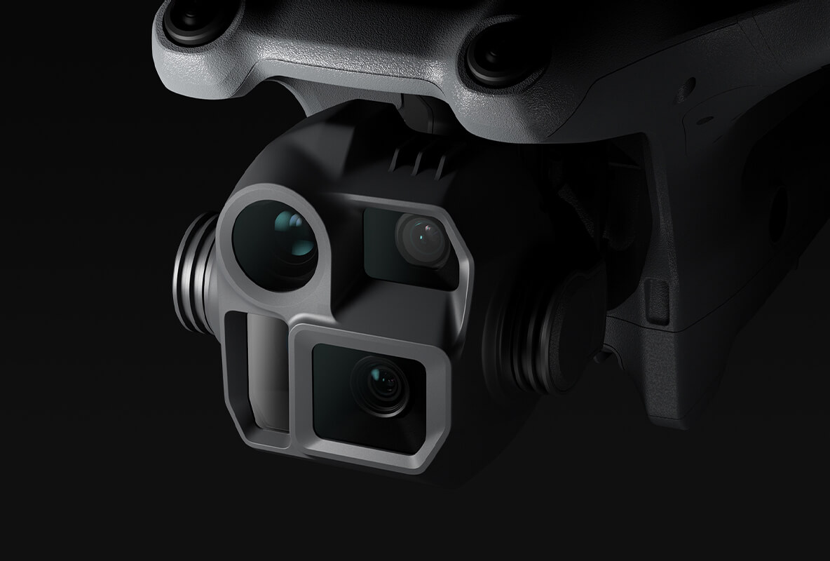
The Matrice 4D’s LiDAR module can generate point clouds of bridge surfaces, enabling millimetre-level deformation monitoring over time. The Matrice 4TD’s thermal camera detects delamination, water infiltration, and heat signatures that indicate subsurface problems invisible to RGB imagery.
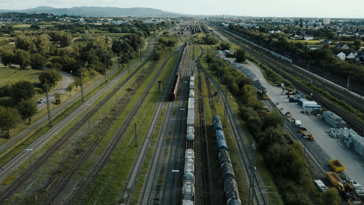
Railway Infrastructure
Rail corridors present specific monitoring requirements that dock-based systems address:
- Track geometry assessment — High-resolution imagery and LiDAR of rail alignment
- Vegetation encroachment — Automated detection of vegetation growing into the clearance envelope
- Overhead line equipment (OLE) — Catenary wire condition, mast positioning, dropper integrity
- Signalling infrastructure — Visual condition assessment of signal heads, relay cabinets, cable routes
- Drainage and earthworks — Embankment stability, cutting face condition, drainage channel blockage
European Infrastructure Projects Using Dock Monitoring
Dock-based drone monitoring is being adopted across Europe’s major infrastructure programmes:
HS2 (United Kingdom) — Europe’s largest current infrastructure project uses automated drones extensively for construction monitoring across hundreds of kilometres of rail corridor.
Grand Paris Express (France) — Metro expansion project deploying dock-based monitoring for tunnel portal construction, station excavation, and surface infrastructure works.
EU TEN-T Core Network — The European Commission’s priority transport network increasingly references drone monitoring in procurement specifications and maintenance guidance for member states.
Autobahn network (Germany) — Federal highway authority (Autobahn GmbH) is piloting dock-based bridge inspection across several Bundesland networks.
Network Rail (United Kingdom) — Trialling drone-based corridor monitoring for vegetation management and asset condition assessment.
EASA Compliance for Corridor Operations
Infrastructure corridor monitoring requires SORA authorization under EASA’s Specific Category. The air risk assessment is particularly important because corridors often pass near or through controlled airspace zones.
Key compliance considerations:
- Linear operational volumes — SORA allows defining elongated operational volumes that follow the corridor, rather than circular zones
- Ground risk — Road and rail corridors have managed population exposure, which typically results in moderate GRC values
- Air risk — Proximity to airports along the corridor must be assessed segment by segment
- U-space integration — In countries with operational U-space, corridor operations can leverage U-space services for automated flight authorization
THE FUTURE 3D handles the complete SORA process for corridor operations, including segment-by-segment risk assessment and NAA coordination. Learn more about the regulatory process.
Getting Started with Infrastructure Monitoring
THE FUTURE 3D deploys dock-based and vehicle-mounted drone monitoring systems for infrastructure operators across Europe. We provide site assessment, dock network design, EASA SORA compliance, hardware deployment, and ongoing managed monitoring services.
For fixed dock networks, we offer DJI Dock 2, Dock 3, and our proprietary dock system at 25% lower cost. For vehicle-mounted corridor inspection, the DJI Dock 3 is the current recommended platform.
Explore our Dock Operations Hub, check your regulatory readiness with the BVLOS Compliance Checker, plan your deployment with the Dock Deployment Planner, or request a quote for a corridor monitoring solution.
Ready to Start Your Project?
Get a free quote and consultation from our 3D scanning experts.
Get Your Free Quote