Gaussian Splatting vs Photogrammetry: Visualization vs Measurement
An expert comparison to help you choose the right equipment for your project.
| Feature | Gaussian Splatting (3DGS) | Traditional Photogrammetry |
|---|---|---|
| Accuracy | ~7.82cm mean geometric error | 1-3cm (with GCPs/RTK) |
| Rendering | 60+ FPS real-time | Standard (mesh-based, not real-time) |
| Output Formats | PLY (splats), 3DTiles, OpenUSD | OBJ, PLY, LAS, GeoTIFF, DXF |
| Best For | Visualization, virtual tours, design review | Measurement, engineering, compliance |
| Processing | DJI Terra ~500 images/hr | DJI Terra ~500 images/hr |
| CAD/BIM Support | Limited (Xgrids LCC for Revit only) | Full (all platforms) |
| Service Pricing | $2,250-$50,000 (professional service) / Free (consumer apps) | $1,500-$10,000+ (standard drone photogrammetry) |
Pricing shown reflects average US rates. Actual costs vary by location based on local market conditions, regulations, and project logistics — both within the US and internationally. Get a custom quote
Gaussian Splatting (3DGS)
Photorealistic Real-Time Visualization
Gaussian Splatting represents 3D scenes as millions of overlapping Gaussian ellipsoids, producing photorealistic renders at 60+ FPS. Captures complex materials (vegetation, glass, water, reflective surfaces) that mesh-based reconstruction struggles with. Tools range from professional (DJI Terra Flagship $2,800-$4,400, Xgrids LCC ~$15-25K) to consumer (Polycam freemium, Luma AI free). The GS ecosystem includes OpenUSD support (April 2026) and Khronos glTF candidate extension. Mean geometric accuracy approximately 7.82cm (plainconcepts.com study).
Pros
- Photorealistic rendering of complex materials (vegetation, glass, water)
- Real-time 60+ FPS visualization in web browsers and game engines
- Superior visual quality vs mesh-based photogrammetry on difficult surfaces
- Growing ecosystem: DJI Terra, Xgrids, Polycam, Luma AI, Nerfstudio
- OpenUSD and Khronos glTF standards adoption (2026)
- Excellent for stakeholder presentations and public engagement
Cons
- Lower geometric accuracy (~7.82cm vs 1-3cm for photogrammetry)
- Limited CAD/BIM software support (Xgrids LCC is only Revit GS plugin)
- Not suitable for engineering measurements or regulatory compliance
- Requires more GPU resources for processing (8GB+ VRAM minimum)
- Newer technology with less industry documentation and training
- File sizes can be large for complex scenes (millions of splats)
Best For
Traditional Photogrammetry
Measurement-Grade 3D Reconstruction
Photogrammetry reconstructs 3D mesh models from overlapping photographs using Structure-from-Motion (SfM) and Multi-View Stereo (MVS) algorithms. With ground control points or RTK/PPK positioning, achieves 1-3cm accuracy suitable for engineering, construction, and regulatory applications. The most established 3D reconstruction method with decades of industry adoption. Supported by every CAD, BIM, and GIS platform.
Pros
- Superior geometric accuracy (1-3cm with GCPs) for measurement
- Universal CAD/BIM/GIS support — works with every platform
- Decades of industry adoption and documentation
- Standardized deliverables accepted by engineering firms and regulators
- Lower processing hardware requirements than GS
- Established pricing models and clear deliverable expectations
Cons
- Mesh artifacts on complex materials (vegetation, glass, water)
- Not real-time — requires pre-rendered views or heavy mesh streaming
- Larger file sizes for comparable visual quality due to texture maps
- Visual quality ceiling on difficult surfaces compared to GS
- Limited ability to capture fine atmospheric and lighting details
- Textured mesh can appear "plastic" on organic surfaces
Best For
Our Expert Verdict
Gaussian Splatting and photogrammetry are complementary technologies, not direct competitors. Photogrammetry delivers measurement-grade 3D data (1-3cm accuracy) for engineering and compliance; GS delivers photorealistic visualization (60+ FPS, complex material rendering) for design review and stakeholder engagement. THE FUTURE 3D recommends combining both: photogrammetry and LiDAR for dimensional data, GS for visual presentation — both captured in a single site visit with the same drone imagery.
Choose Gaussian Splatting (3DGS) if...
Choose Gaussian Splatting when visual quality is the priority: client presentations, virtual tours, real estate marketing, virtual production, public engagement, or any project where photorealism matters more than measurement precision.
Choose Traditional Photogrammetry if...
Choose standard photogrammetry when dimensional accuracy is the priority: engineering measurement, construction coordination, regulatory compliance, volumetric calculations, or any project where CAD/BIM compatibility and sub-centimeter accuracy are required.
Frequently Asked Questions
Can I get both GS and photogrammetry from the same drone flight?
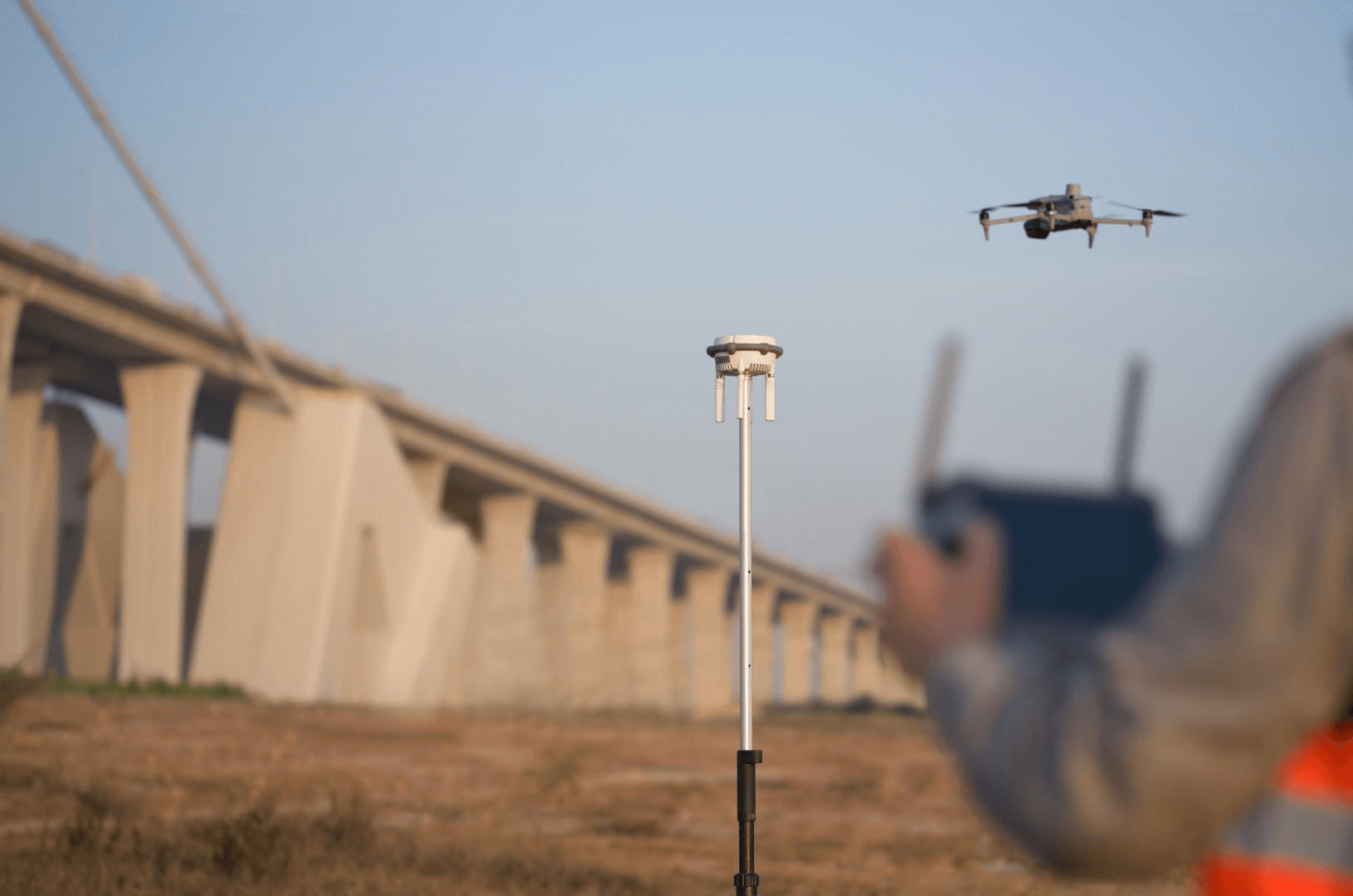
Yes. DJI Terra Flagship processes the same aerial photographs into both a photogrammetric mesh model AND Gaussian Splats. THE FUTURE 3D captures a single dataset with the DJI M4E + Zenmuse P1 and processes it through both pipelines, delivering both measurement-grade mesh/point cloud data and photorealistic GS visualization from one site visit. GS processing is an add-on at 1.5x the standard photogrammetry rate.
Is Gaussian Splatting more accurate than photogrammetry?
No. Gaussian Splatting has lower geometric accuracy (~7.82cm mean error) compared to photogrammetry (1-3cm with GCPs/RTK). GS excels at visual fidelity, not measurement precision. For engineering or compliance work, photogrammetry (or LiDAR) is the correct choice. For visual presentation and stakeholder engagement, GS produces superior results. Professional workflows combine both.
Which tools create Gaussian Splats vs photogrammetric models?
DJI Terra Flagship does both (GS and photogrammetry). Pix4D, Agisoft Metashape, and RealityCapture do photogrammetry only (no native GS). For GS-only tools: Xgrids LCC (handheld SLAM), Polycam, Luma AI, Nerfstudio (open-source). The GS ecosystem is newer and smaller than the photogrammetry ecosystem but growing rapidly with OpenUSD and glTF standards adoption.
Does Gaussian Splatting work with CAD and BIM software?
Not directly, with one exception: Xgrids LCC offers the only GS-to-BIM plugin for Autodesk Revit. Otherwise, GS data must be converted to point clouds or meshes before import into CAD/BIM. Photogrammetry outputs (OBJ, PLY, DXF) are natively supported by virtually every CAD and BIM platform. For projects requiring BIM deliverables, photogrammetry remains the standard pipeline.
How much does professional GS cost compared to photogrammetry?
GS is priced at 1.5x standard photogrammetry rates due to additional software licensing (DJI Terra Flagship) and GPU processing requirements. A small-site photogrammetry project at $1,500-$3,000 becomes $2,250-$4,500 with GS added. THE FUTURE 3D recommends GS as an add-on when photorealistic visualization adds value to the project, not as a replacement for standard photogrammetry deliverables.
Can consumer apps replace professional photogrammetry or GS?
For room-scale or small-area captures, consumer GS apps (Polycam, Luma AI) and photogrammetry apps can produce acceptable results at no cost. For building-scale projects requiring aerial coverage, survey-grade accuracy (LiDAR), georeferenced deliverables, and professional documentation, consumer tools are insufficient. The scale threshold is roughly 1,000 sqft: below that, consumer tools work; above that, professional services are needed.
Professional Equipment In This Comparison
The Future 3D operates all equipment featured in this comparison. We're certified professionals delivering expert results.
Similar Equipment You Might Compare


Professional Services Using This Equipment
The Future 3D offers professional services utilizing Gaussian Splatting (3DGS) and Traditional Photogrammetry for superior results.
3D Virtual Tours
Immersive Matterport virtual tours for properties and spaces
3D Laser Scanning
Millimeter-accurate point cloud capture with Trimble and NavVis
Scan-to-BIM
BIM-conversion-ready 3D laser scan data in E57, RCP, LAS, and OBJ
Digital Twins
Living 3D models with real-time IoT integration
As-Built Documentation
2D CAD Floor Plans and PDF Documentation from 3D scanning
Google Street View
Google Trusted Photographer services for business interiors
Industries That Benefit From This Technology
Gaussian Splatting (3DGS) and Traditional Photogrammetry technology drives innovation across these key industries.
Schools & Education
Virtual campus tours, facility documentation, and safety planning
Real Estate
Immersive property tours and marketing assets
Retail
Store planning and virtual store tours
Hospitality
Hotel virtual tours and event space showcases
Insurance
Property documentation and claims support
Property Management
Portfolio documentation and move-in/out inspections
Available Nationwide
The Future 3D provides professional 3D scanning services across the United States.
Florida (Headquarters)
Northeast
West Coast
South & Midwest
Need Help Choosing?
Our experts can recommend the right equipment for your specific project requirements.